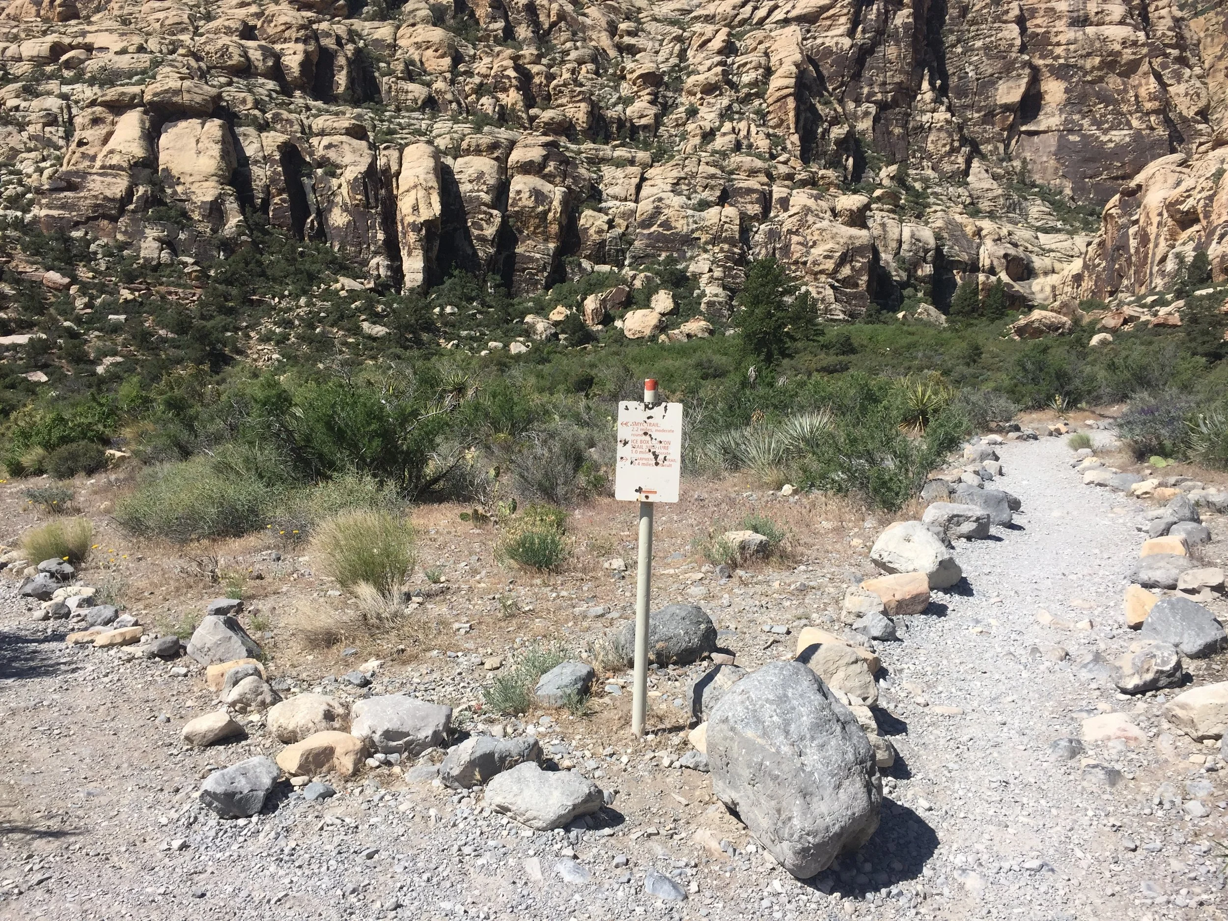
Note: Goldstrike Canyon closes May 15 through September 30 (according to the National Park Service).
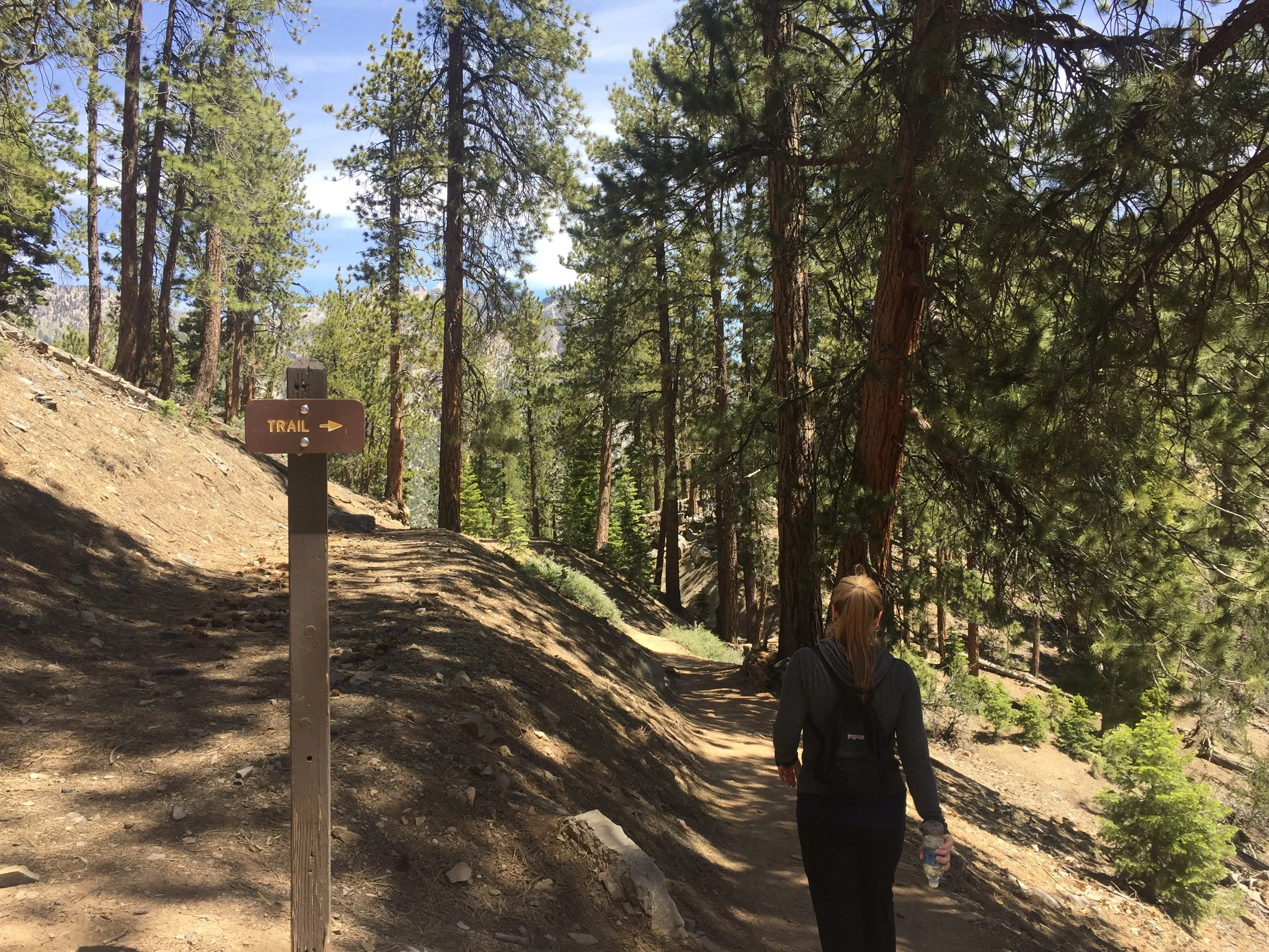
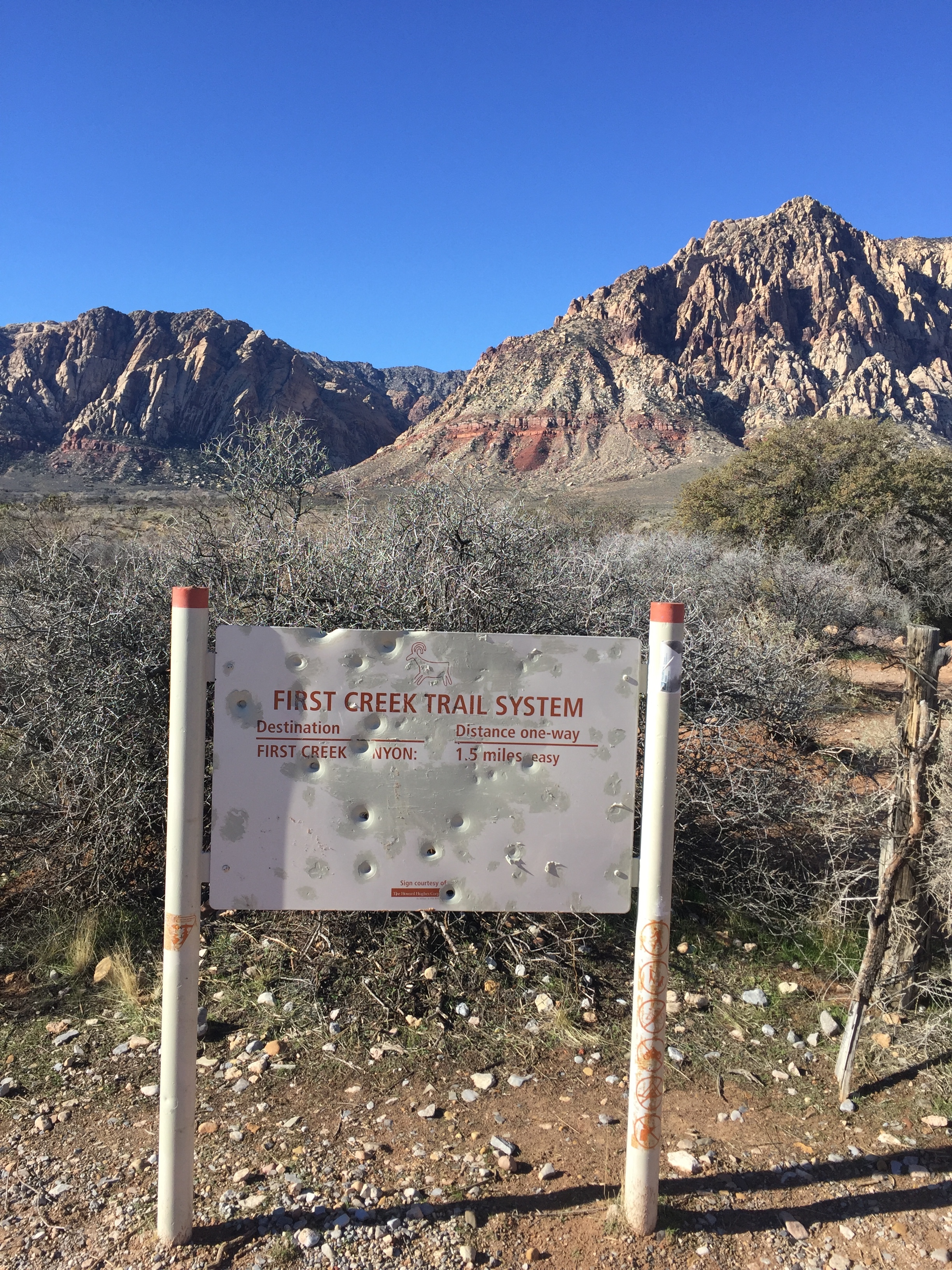
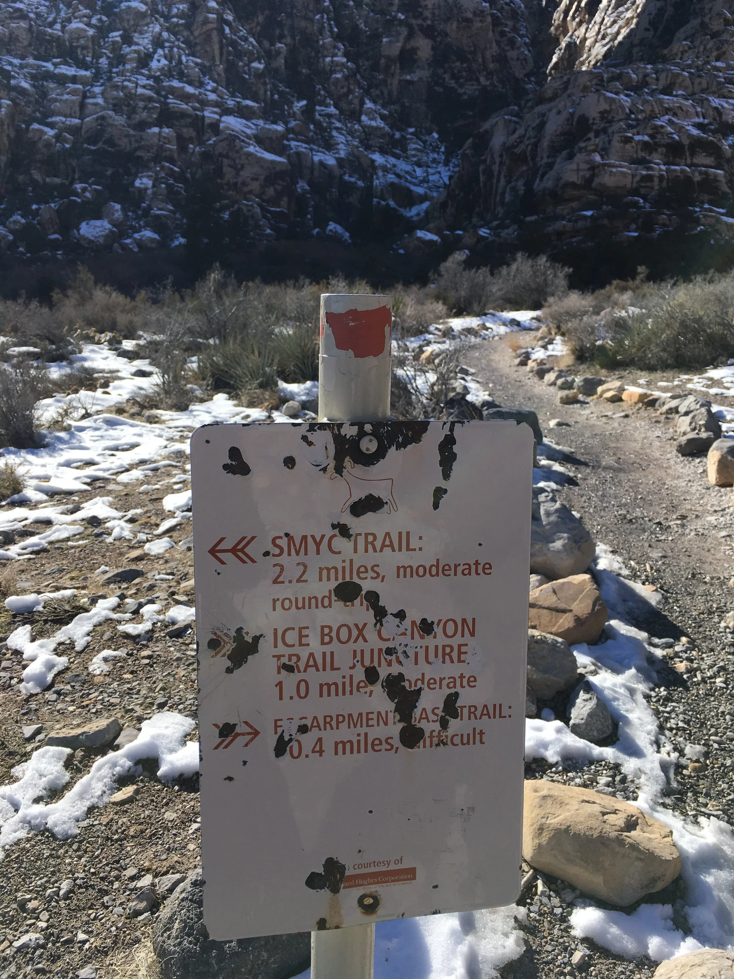
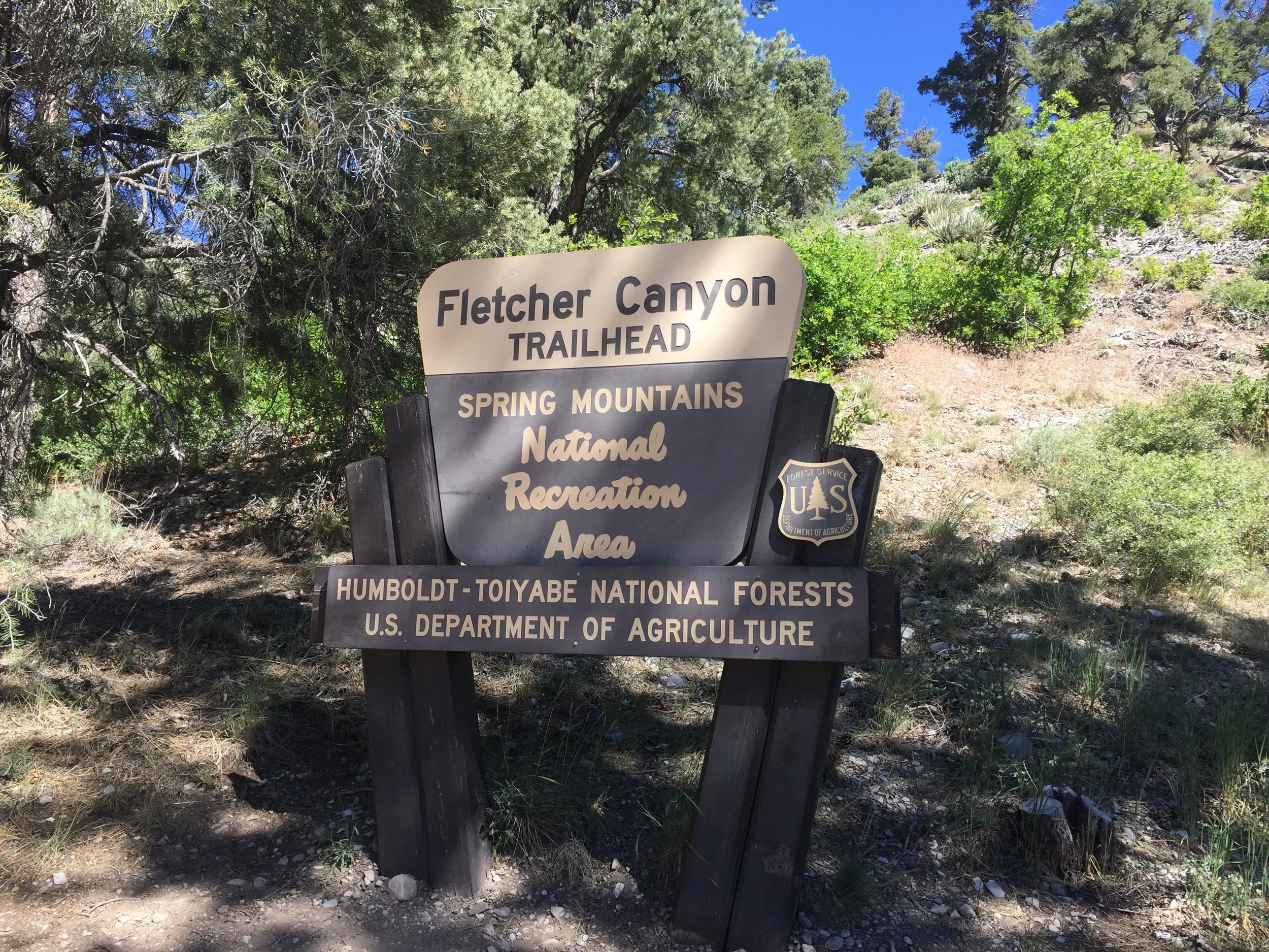
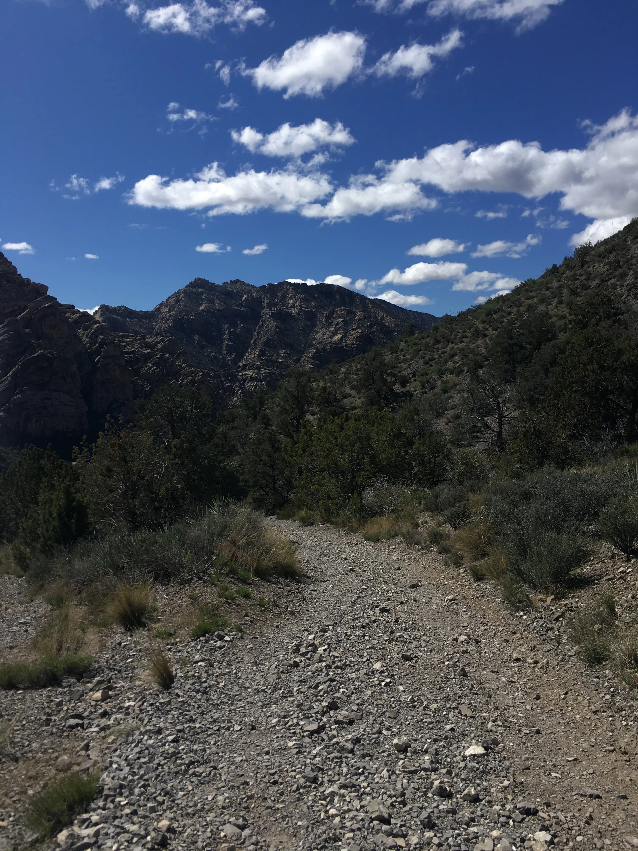
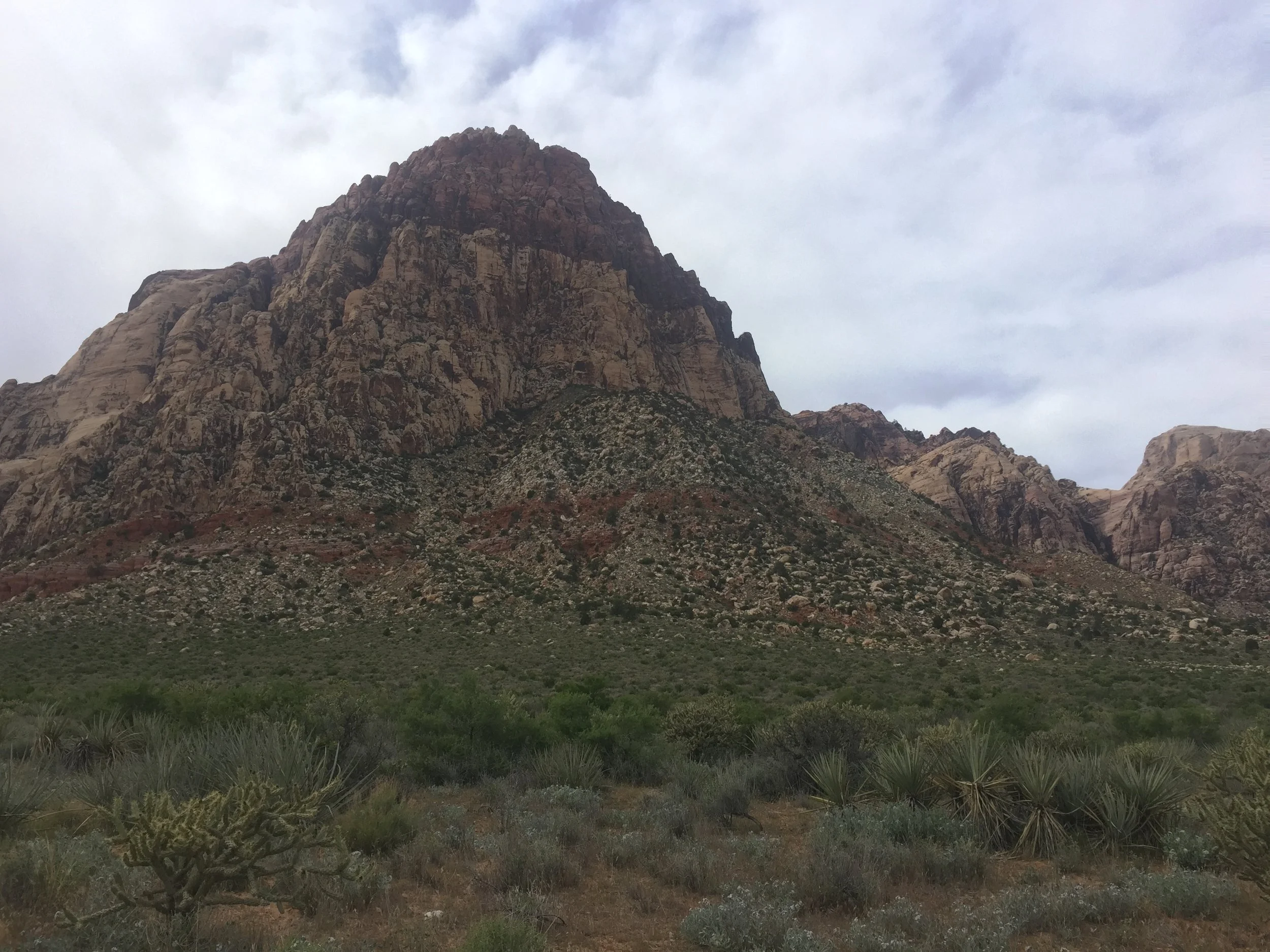
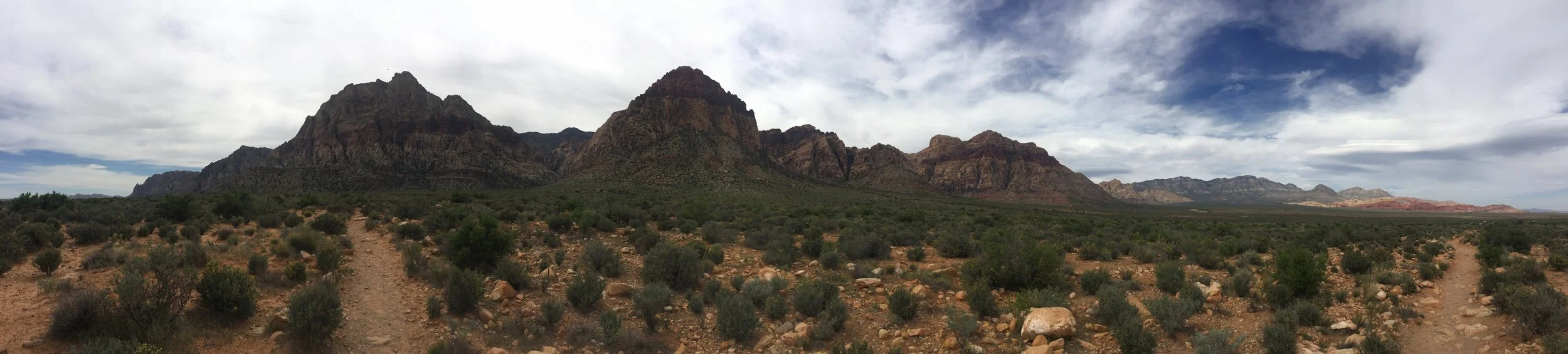
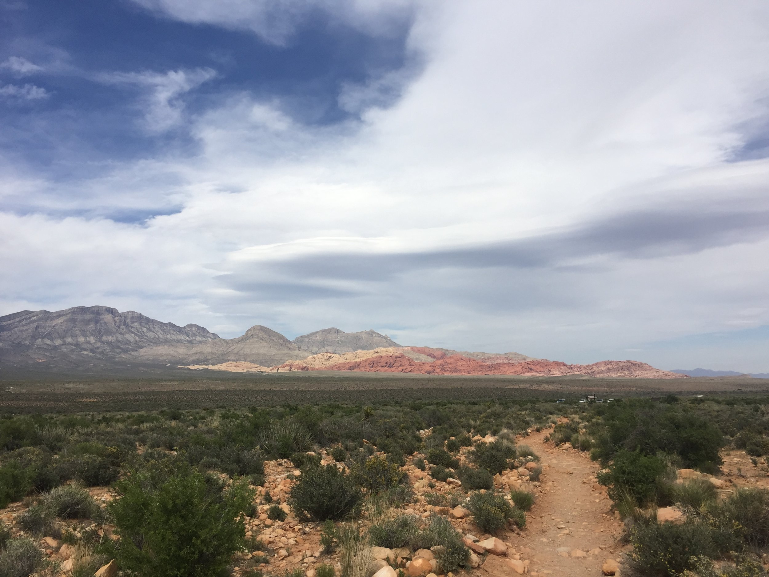
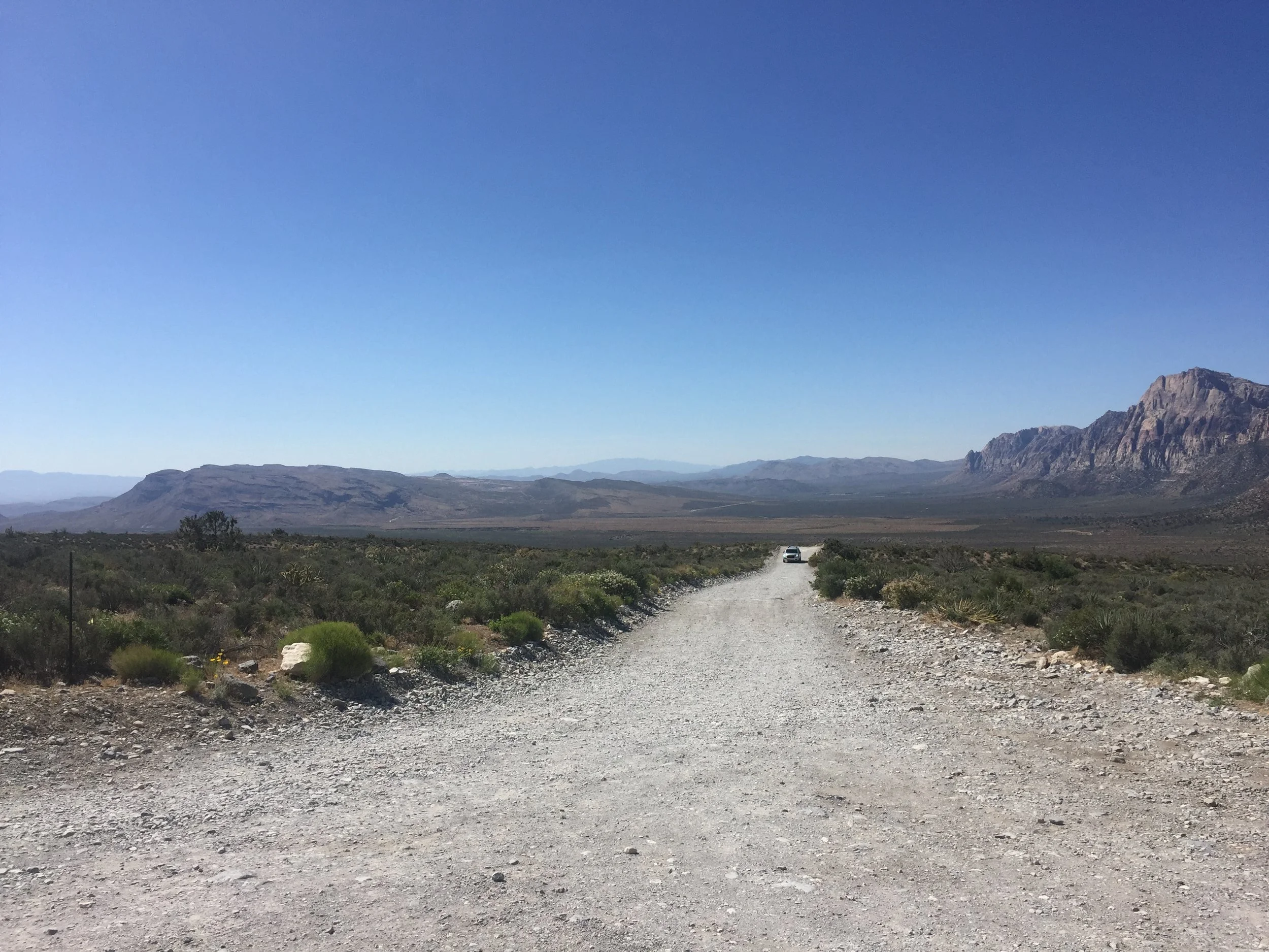
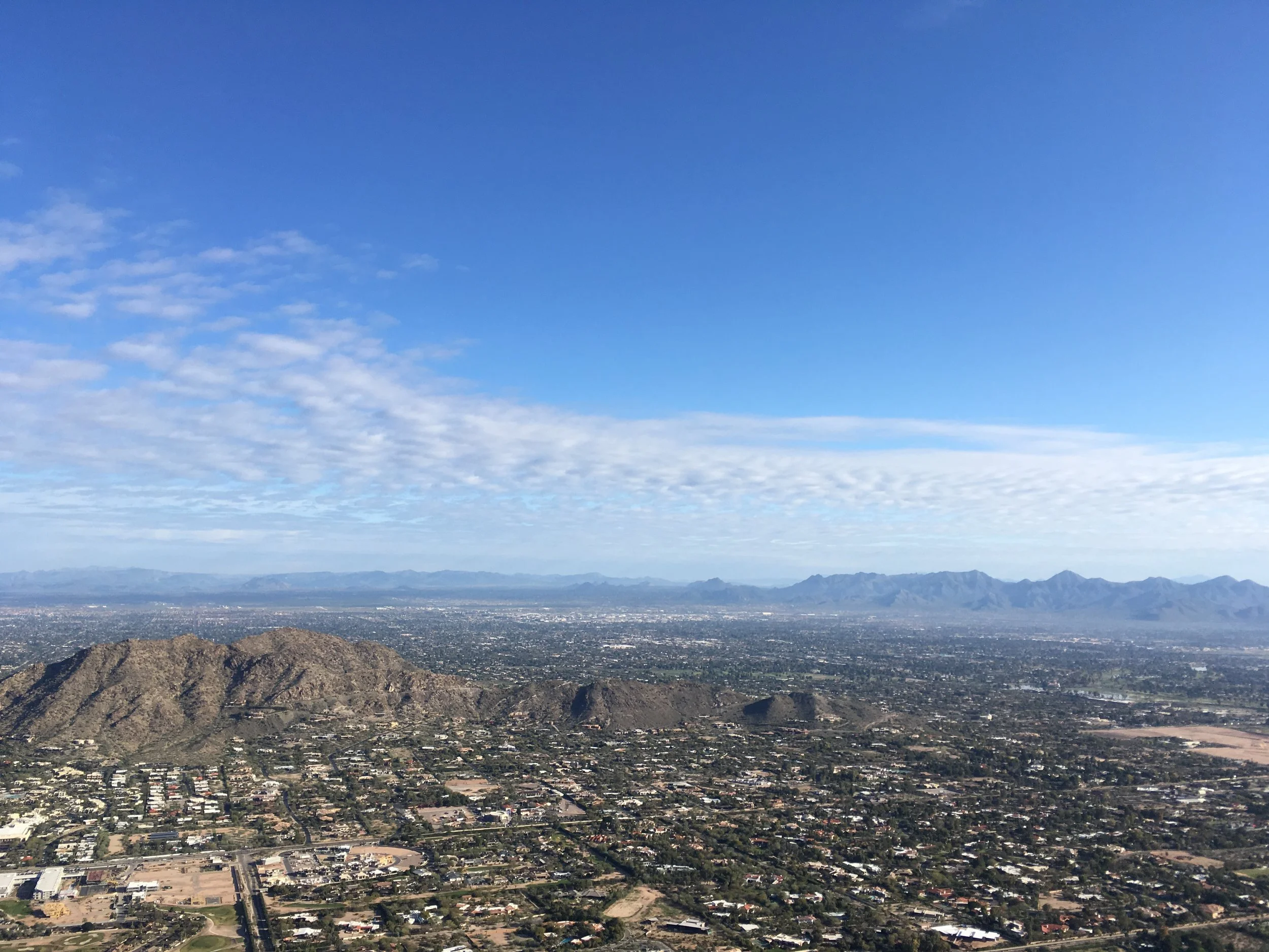
Location: Near Boulder City, Nevada. From Las Vegas, you'll want to take exit #2 for Hoover Dam. Turn right. You'll see a dirt road on your left. You'll drive on that for a bit. Park. Trail starts here.
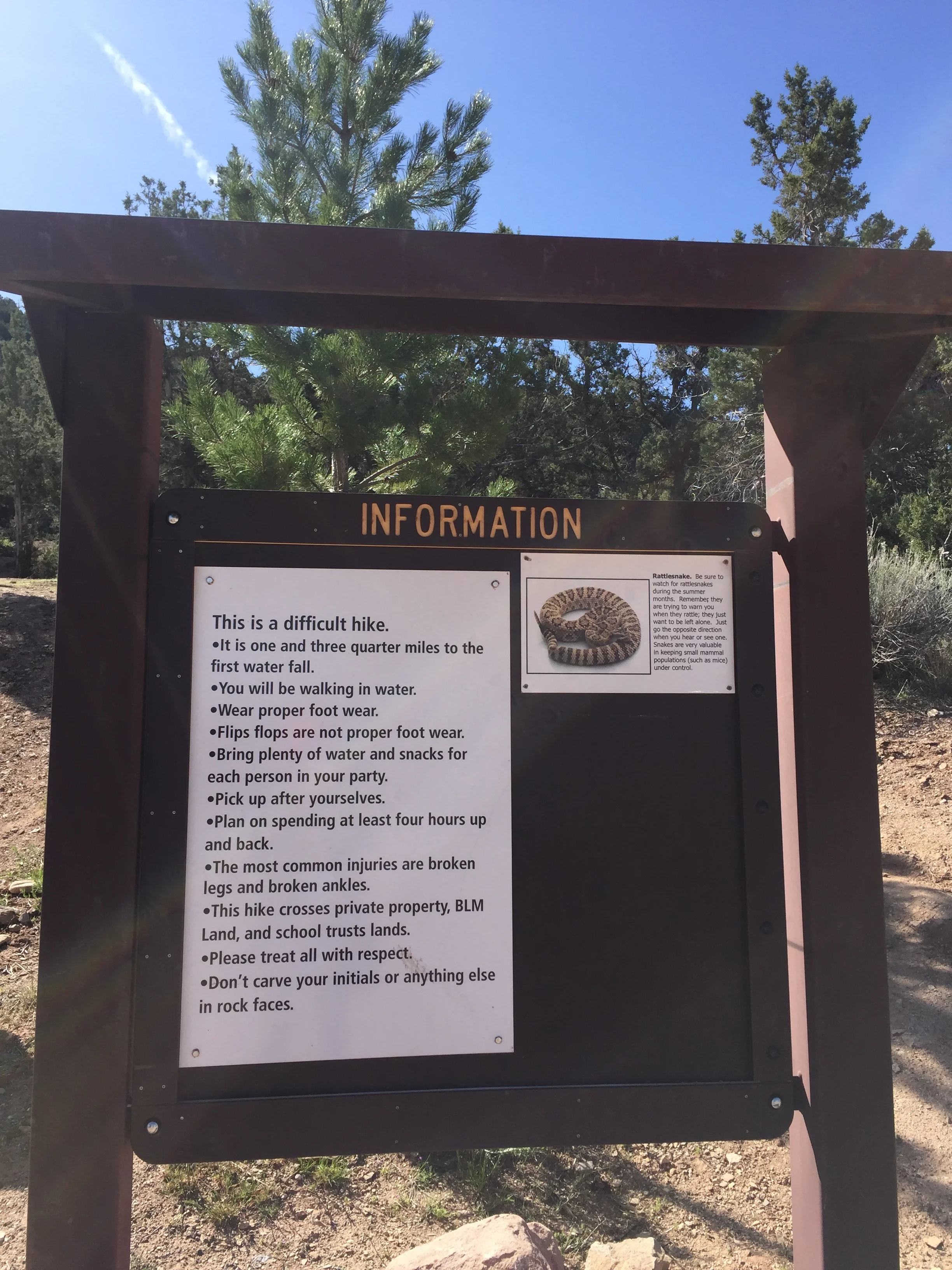
Level: Moderate to difficult.
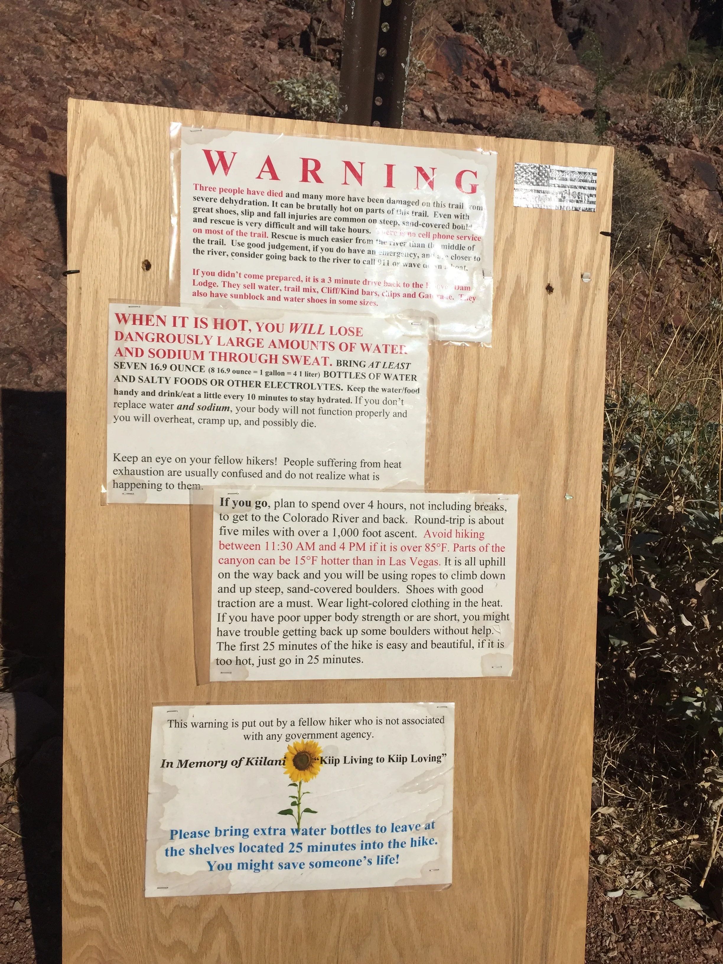
Warning: This is a dangerous hike. A sign states 3 people have died on this hike. Several others have been injured. It also warns of overheating and dehydration. If injured, officials recommend moving closer to the river for rescue.
Miles: About 4.5 round trip. Plan to spend at least 4 hours or more on this hike.
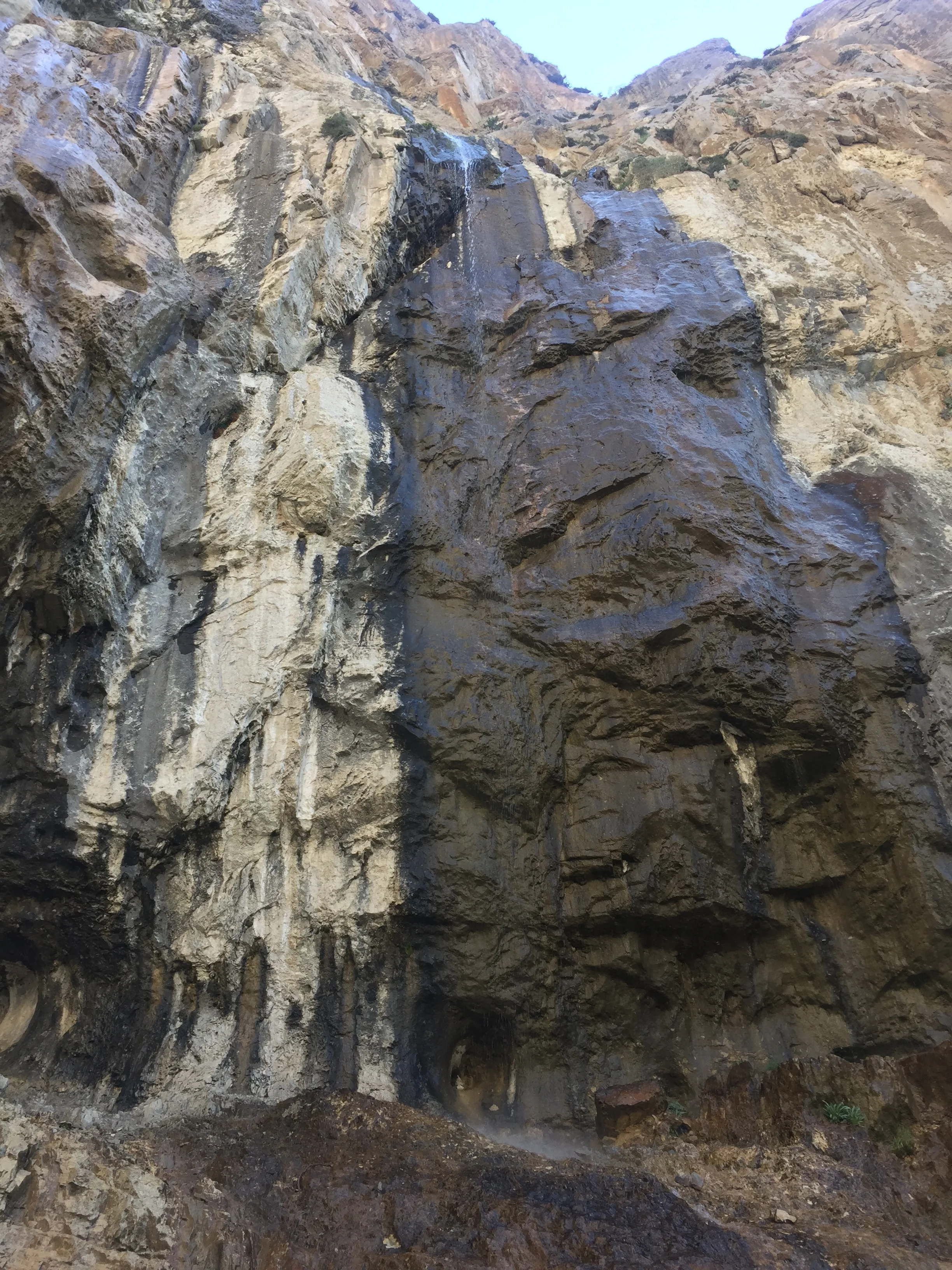
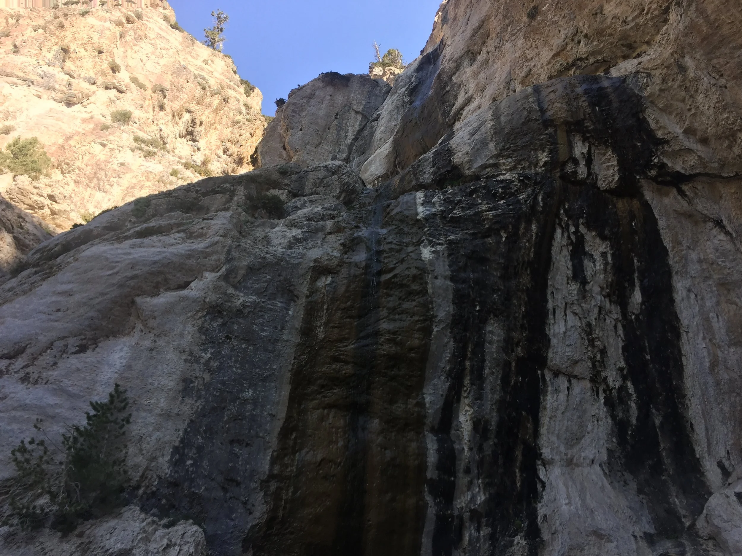
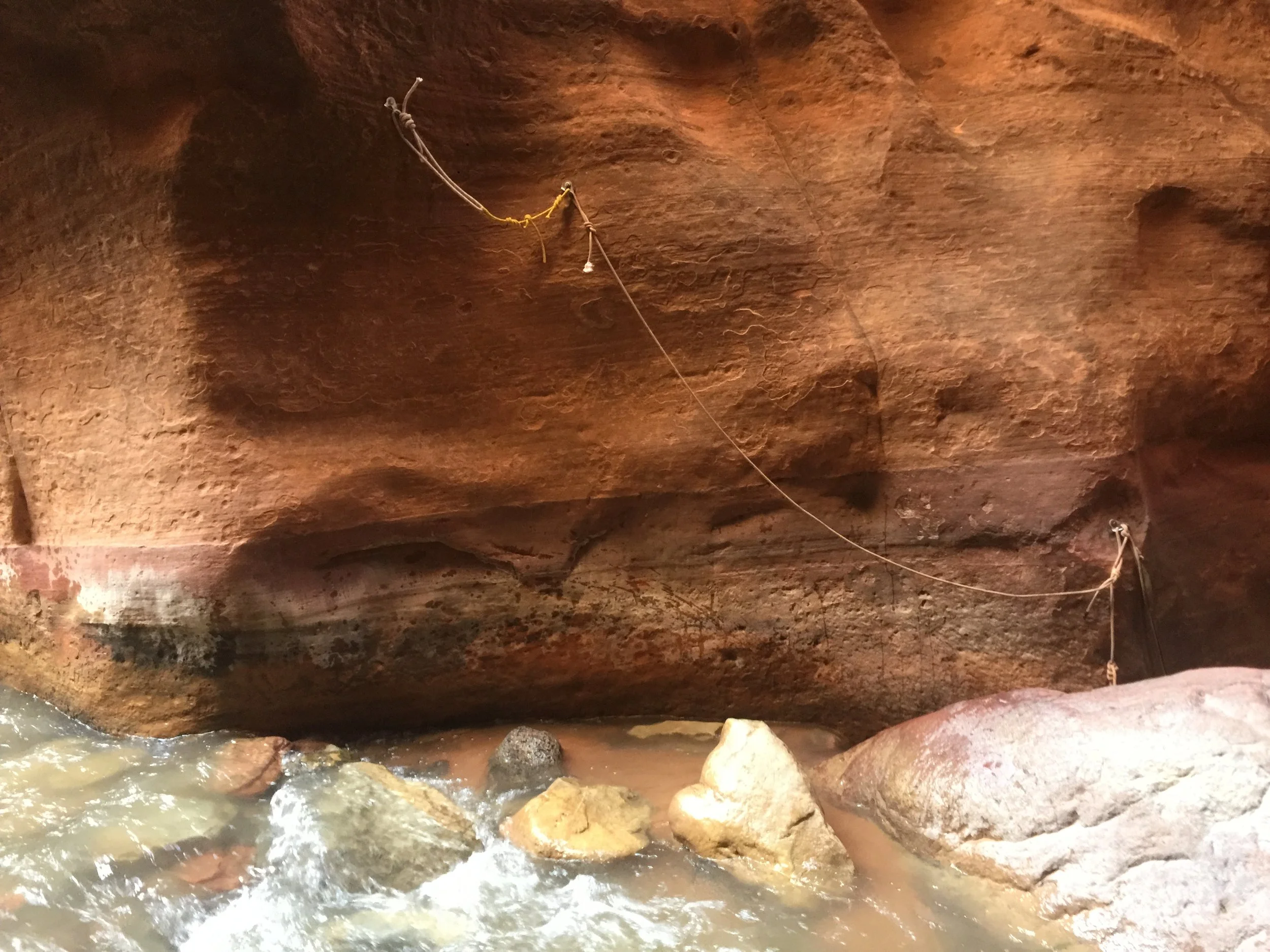
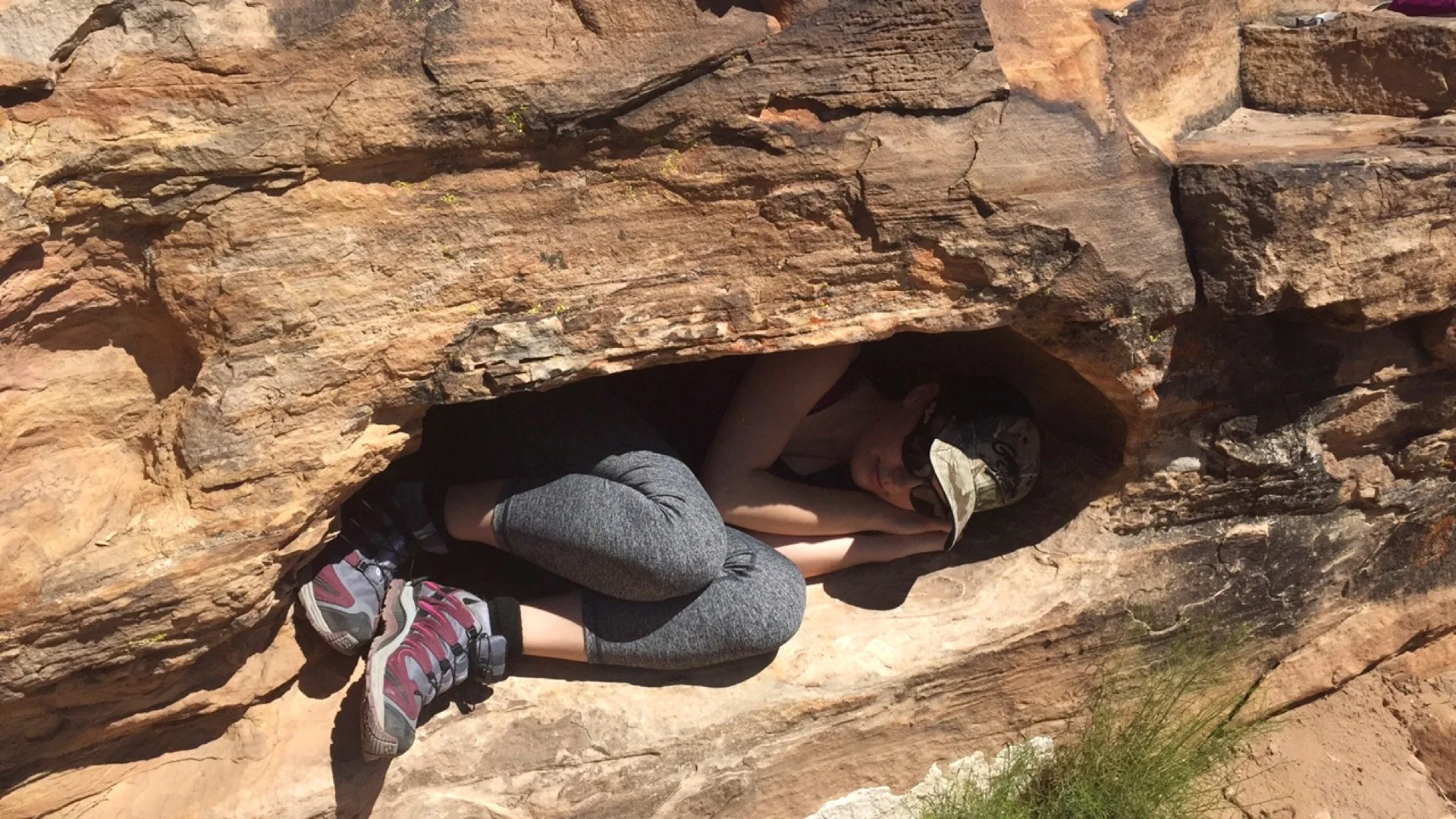
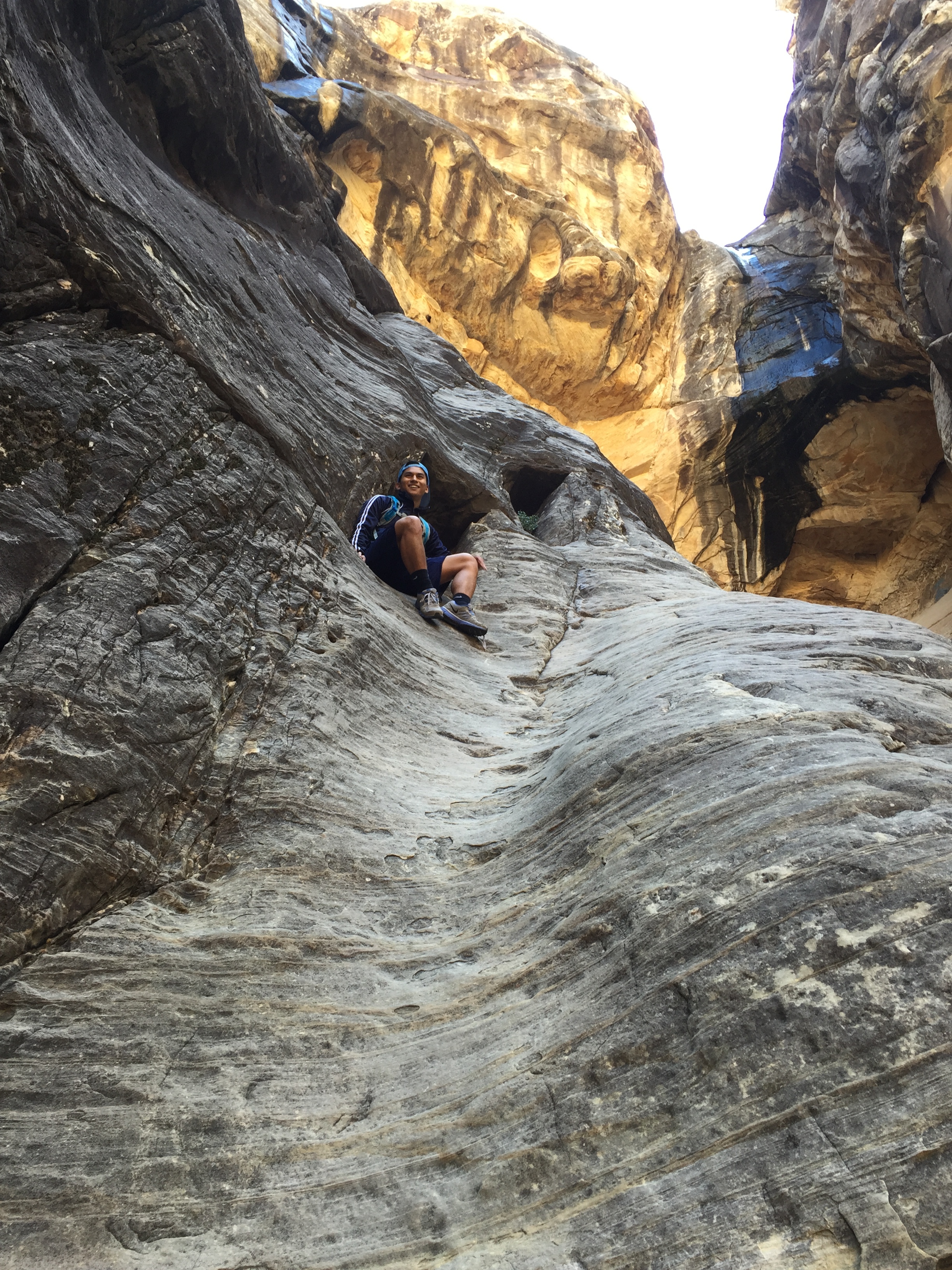
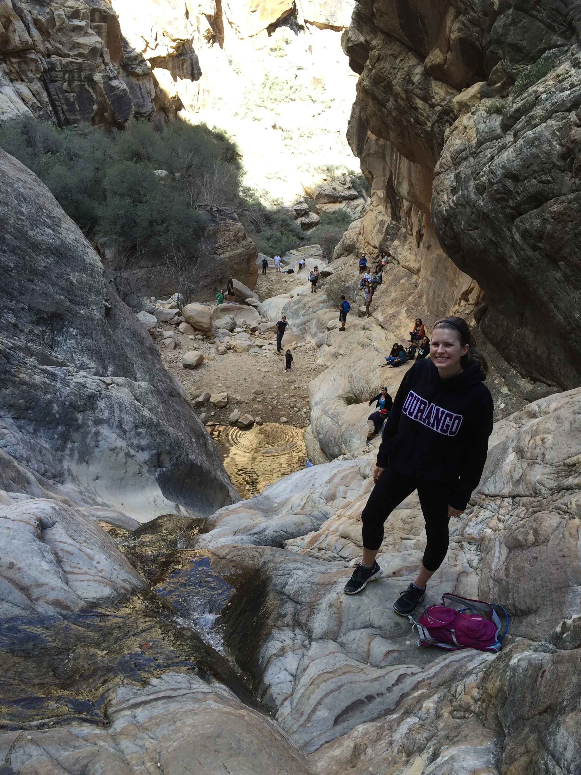
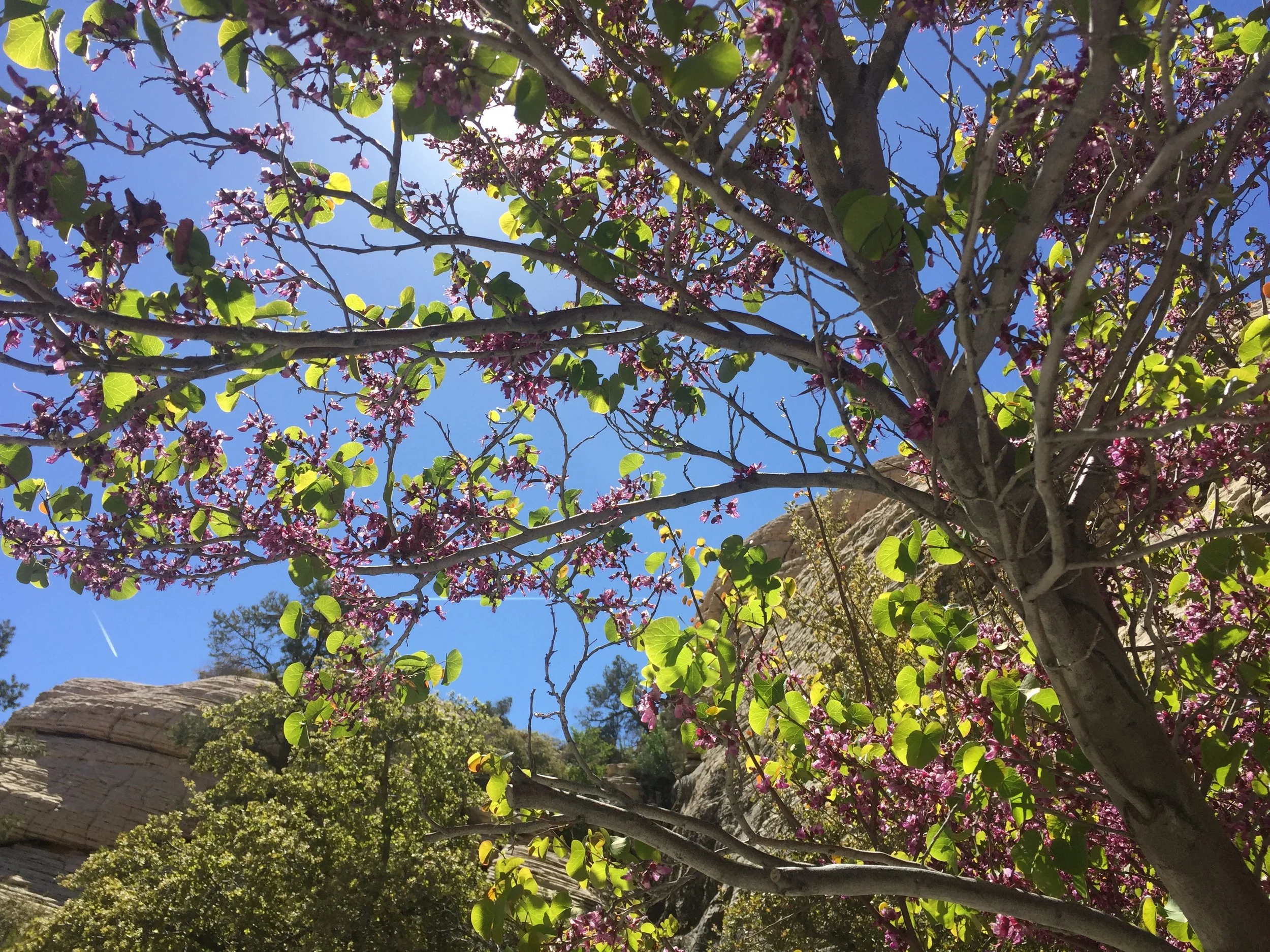
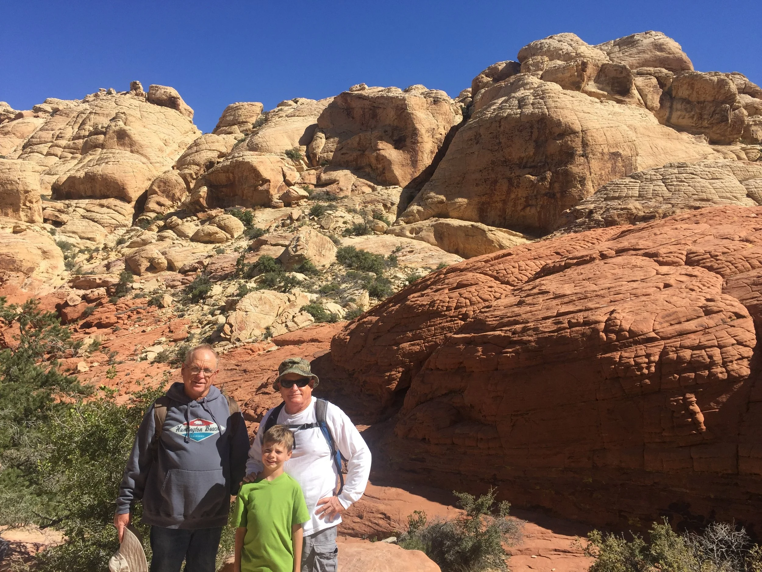
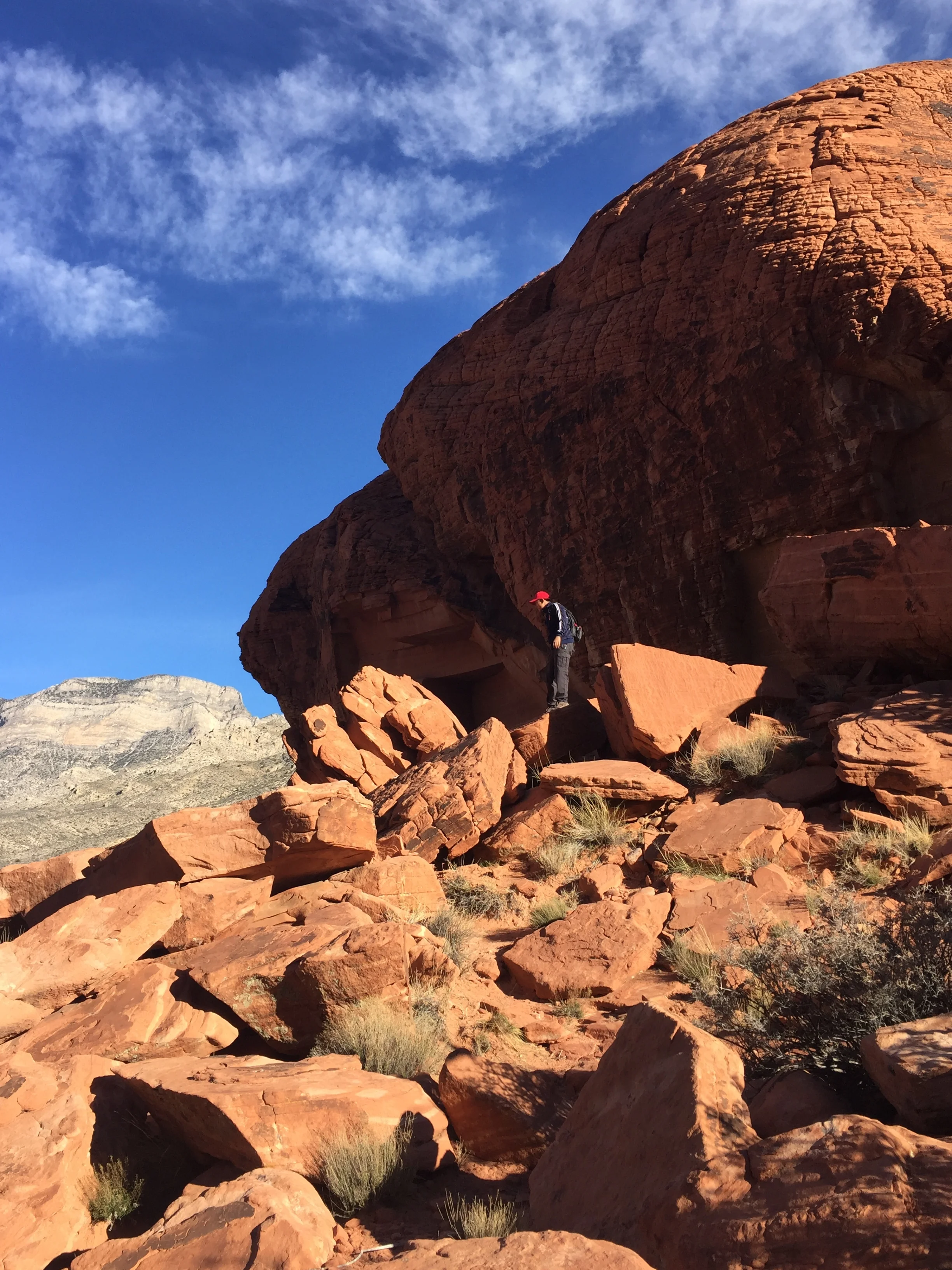
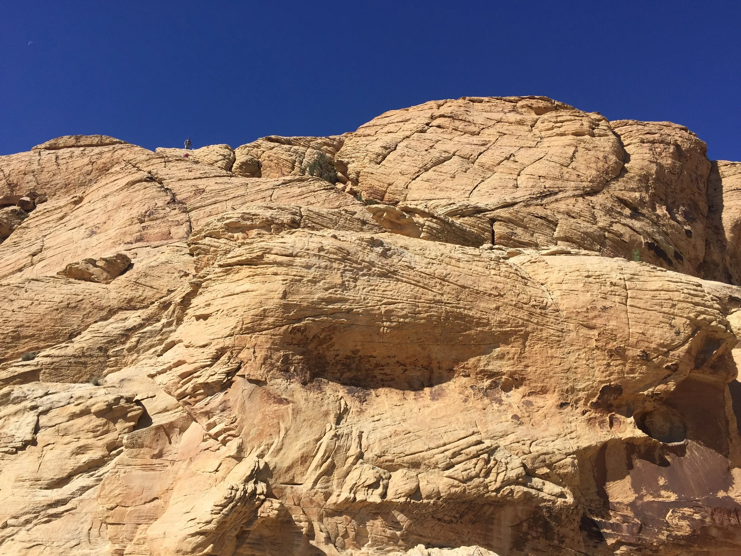
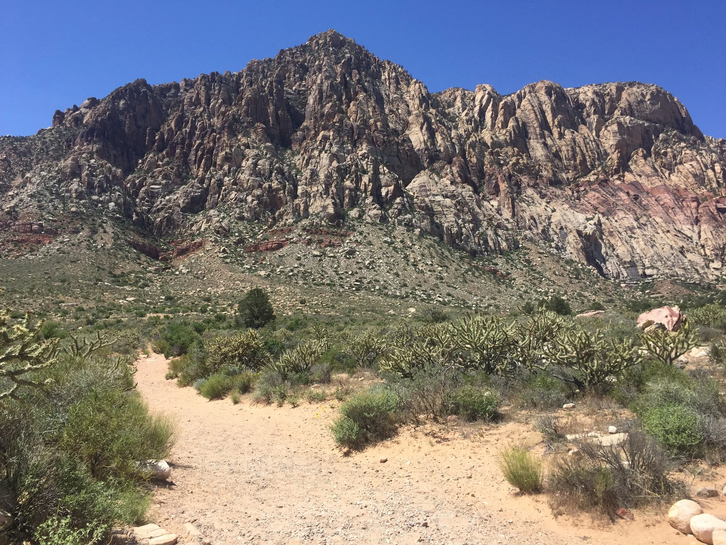
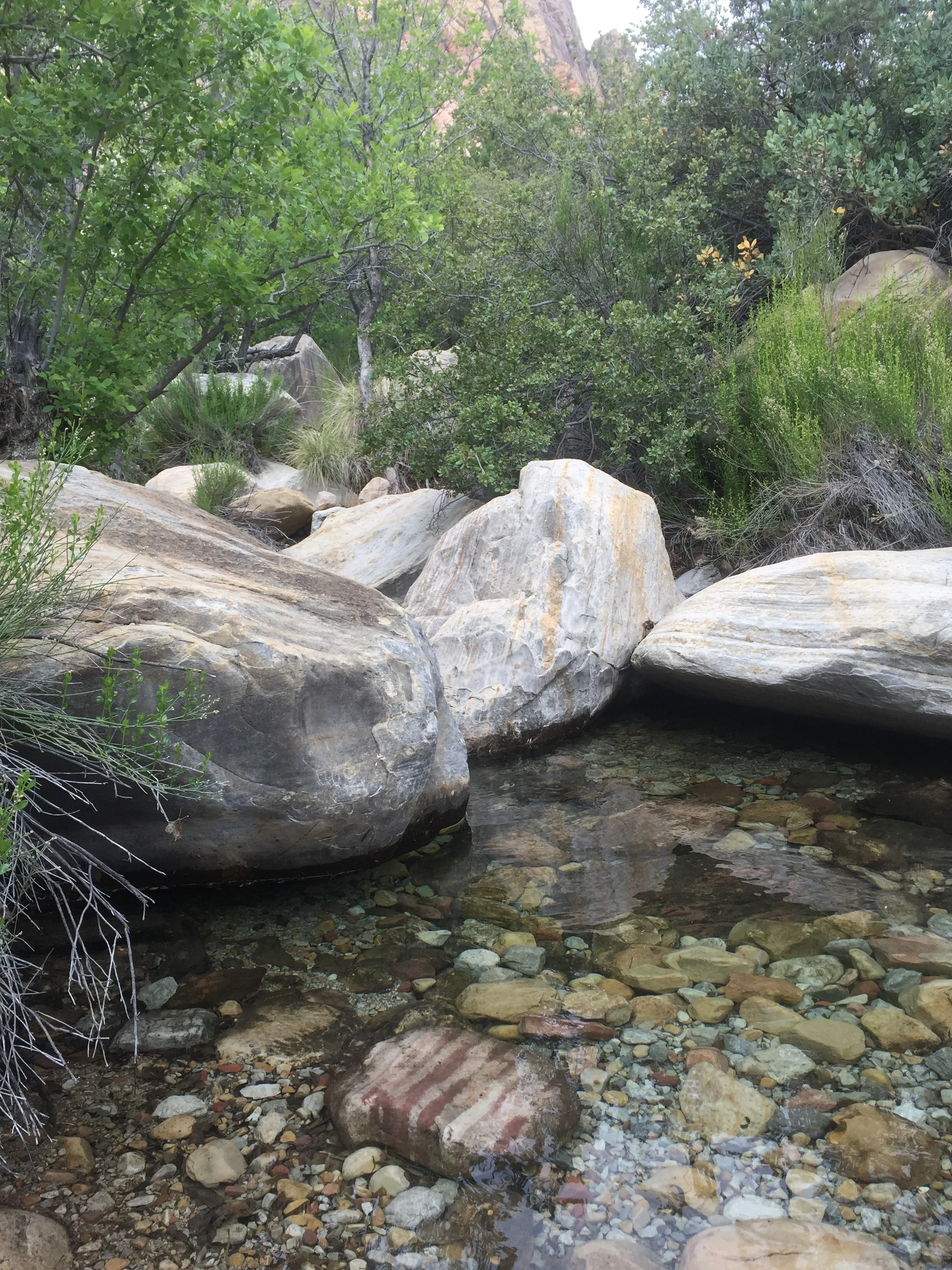
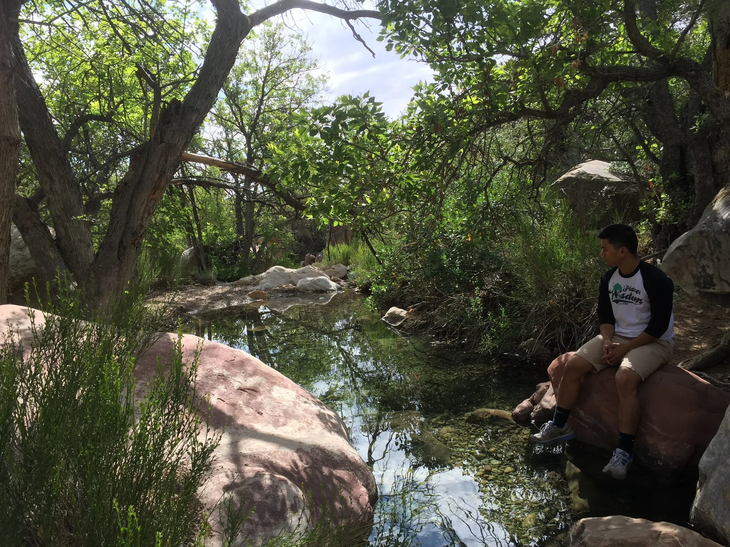
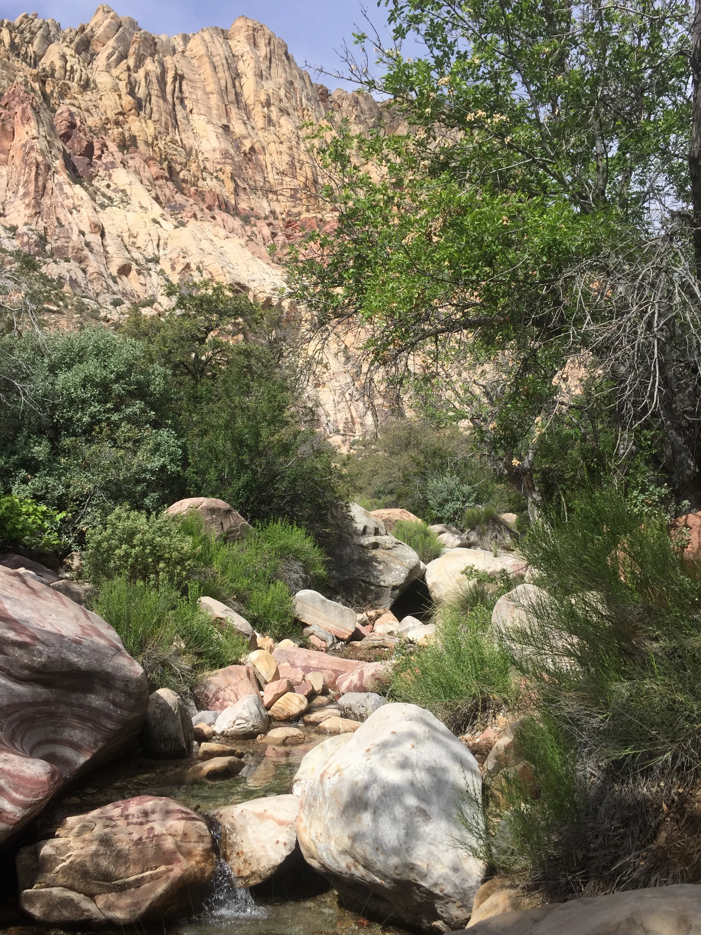
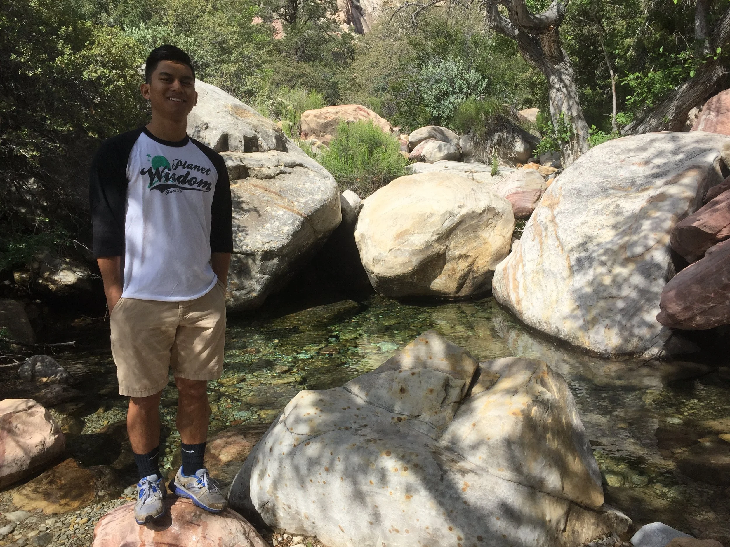
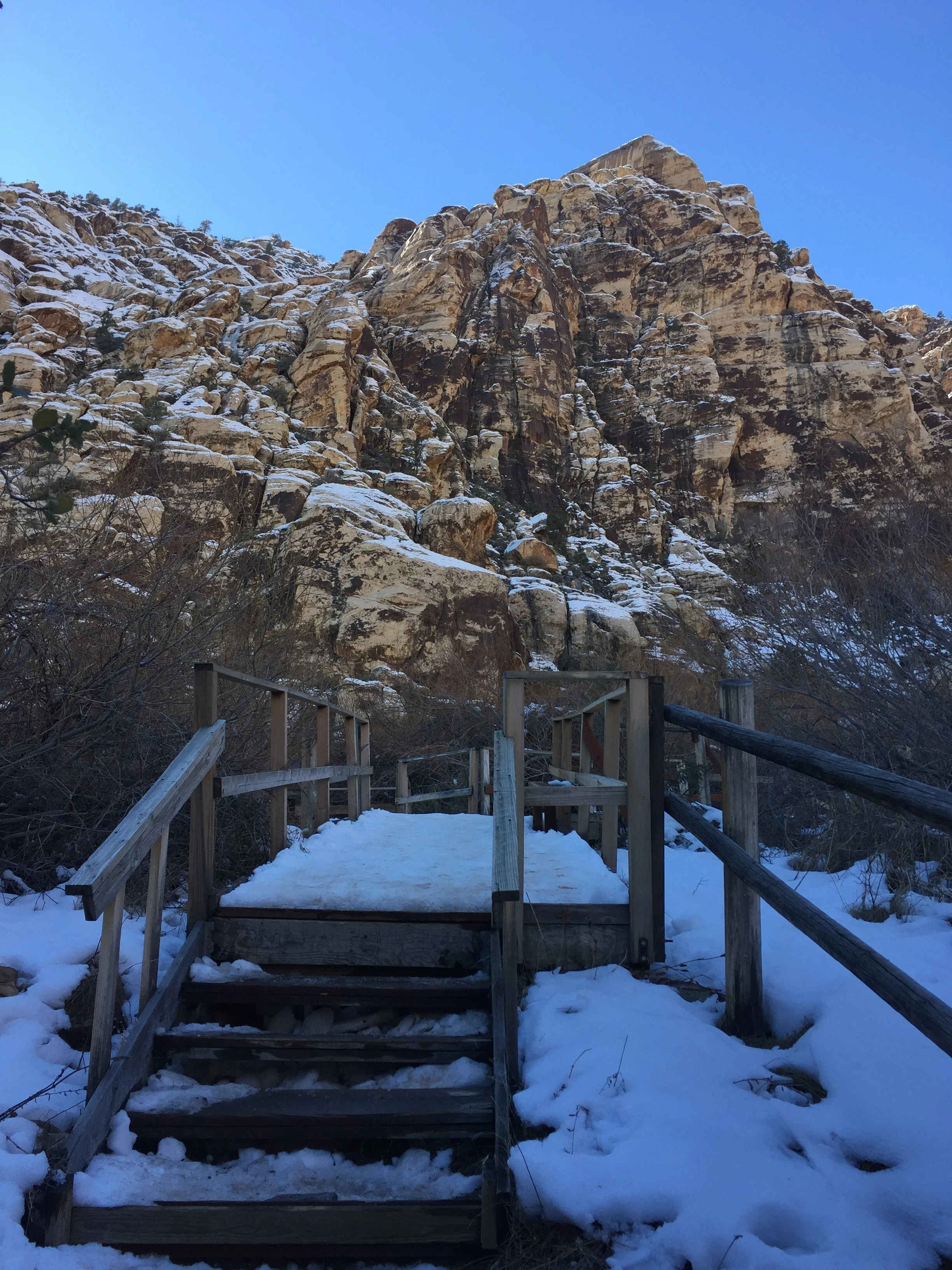
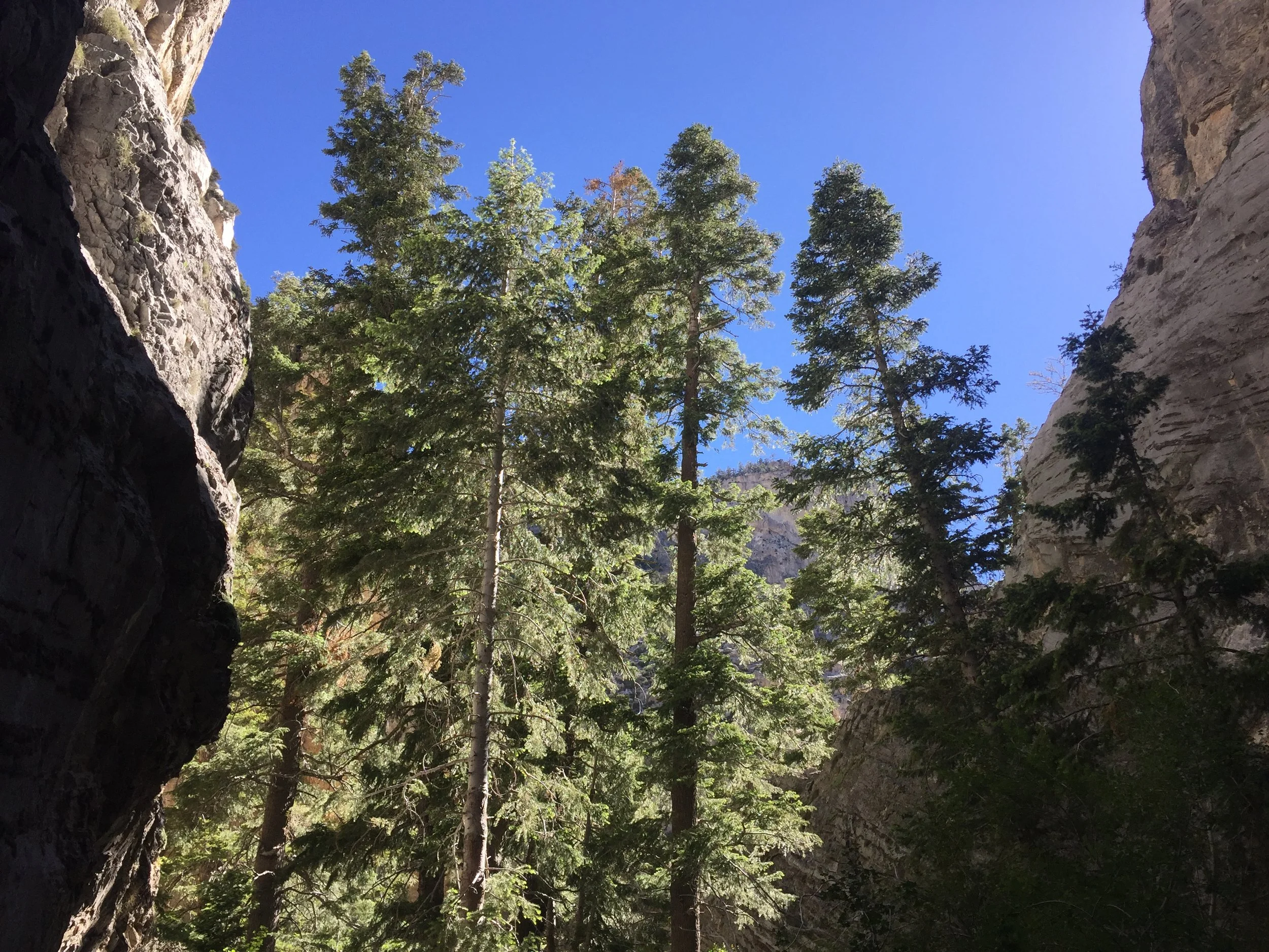
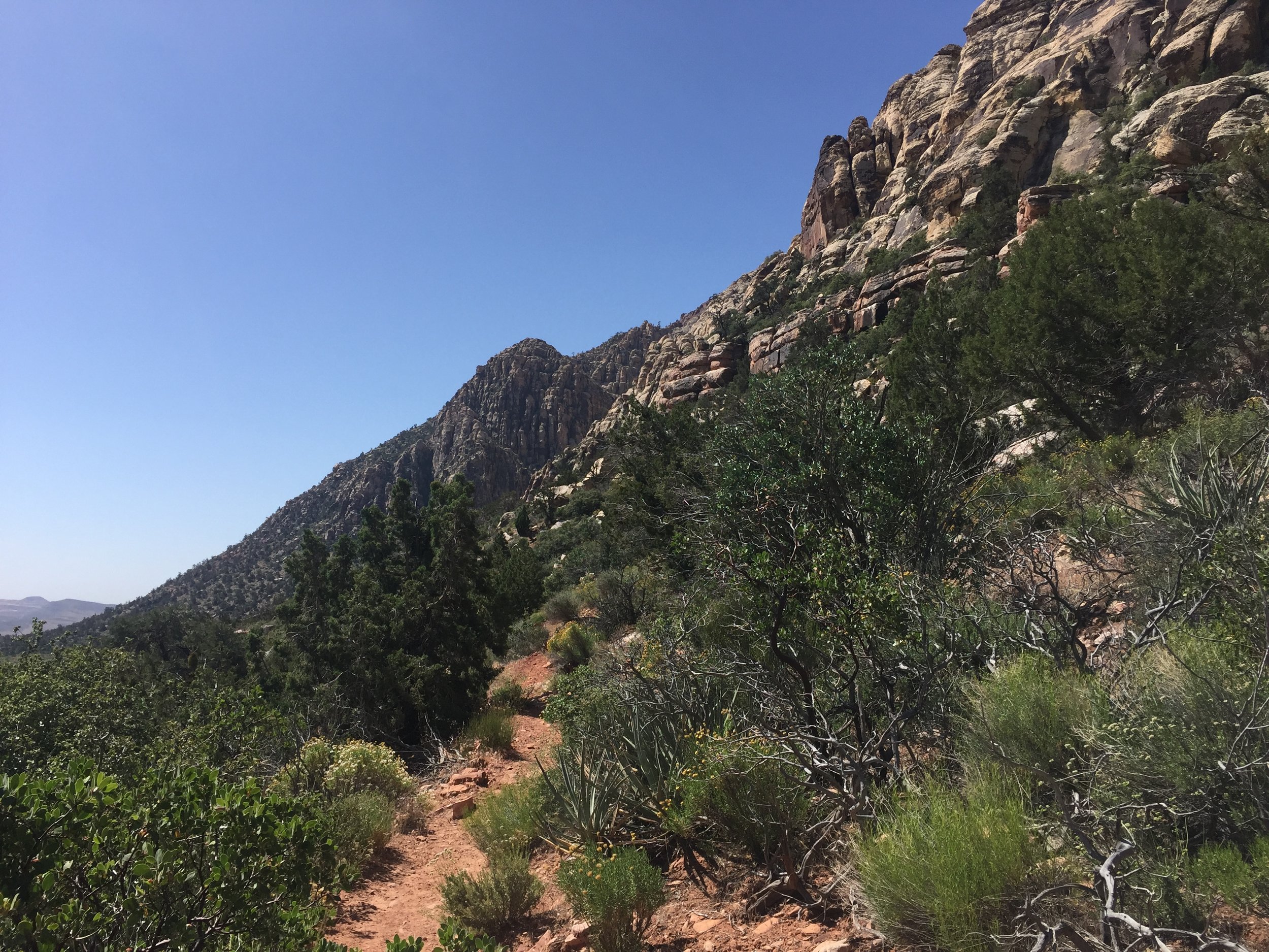
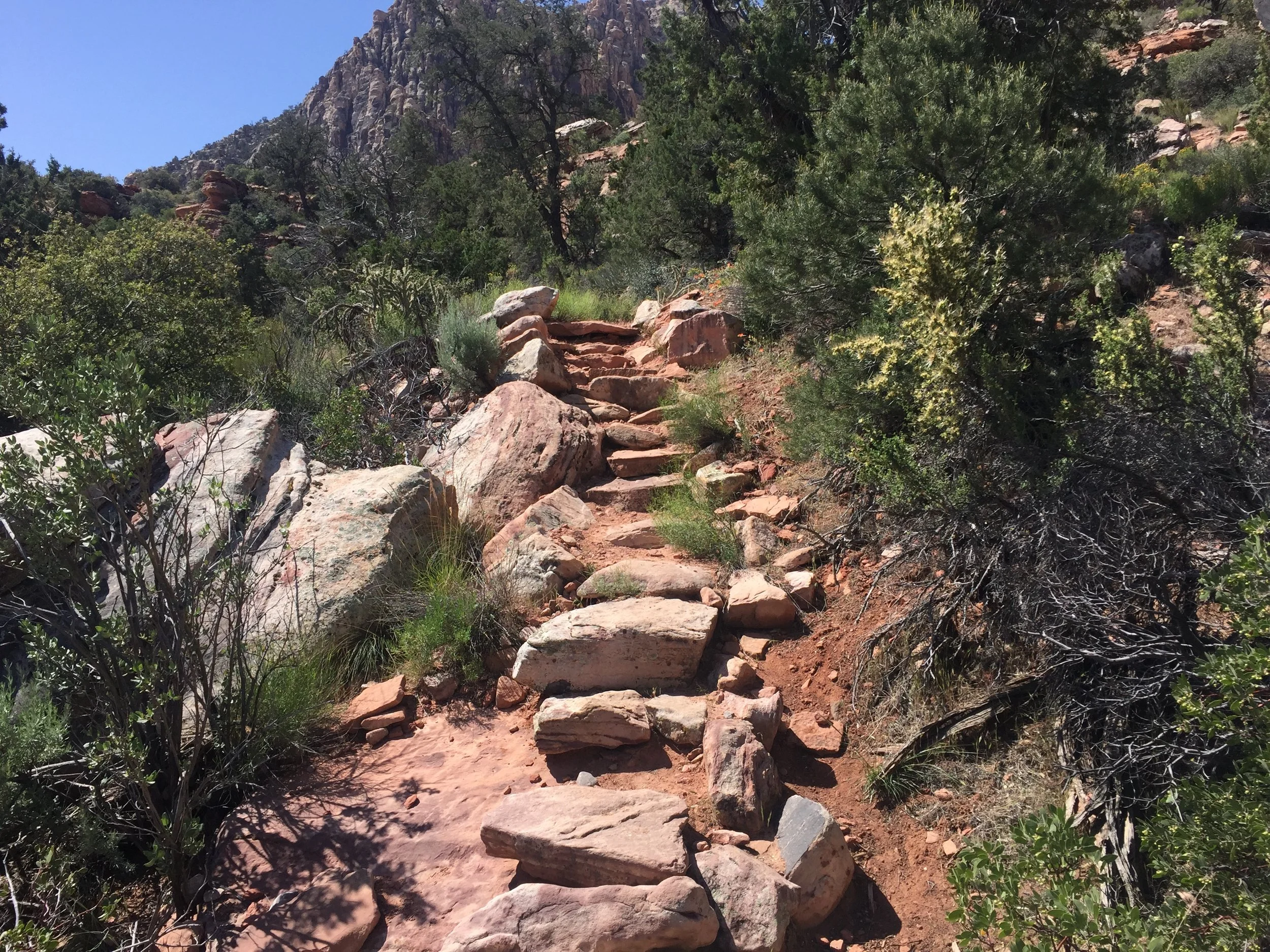
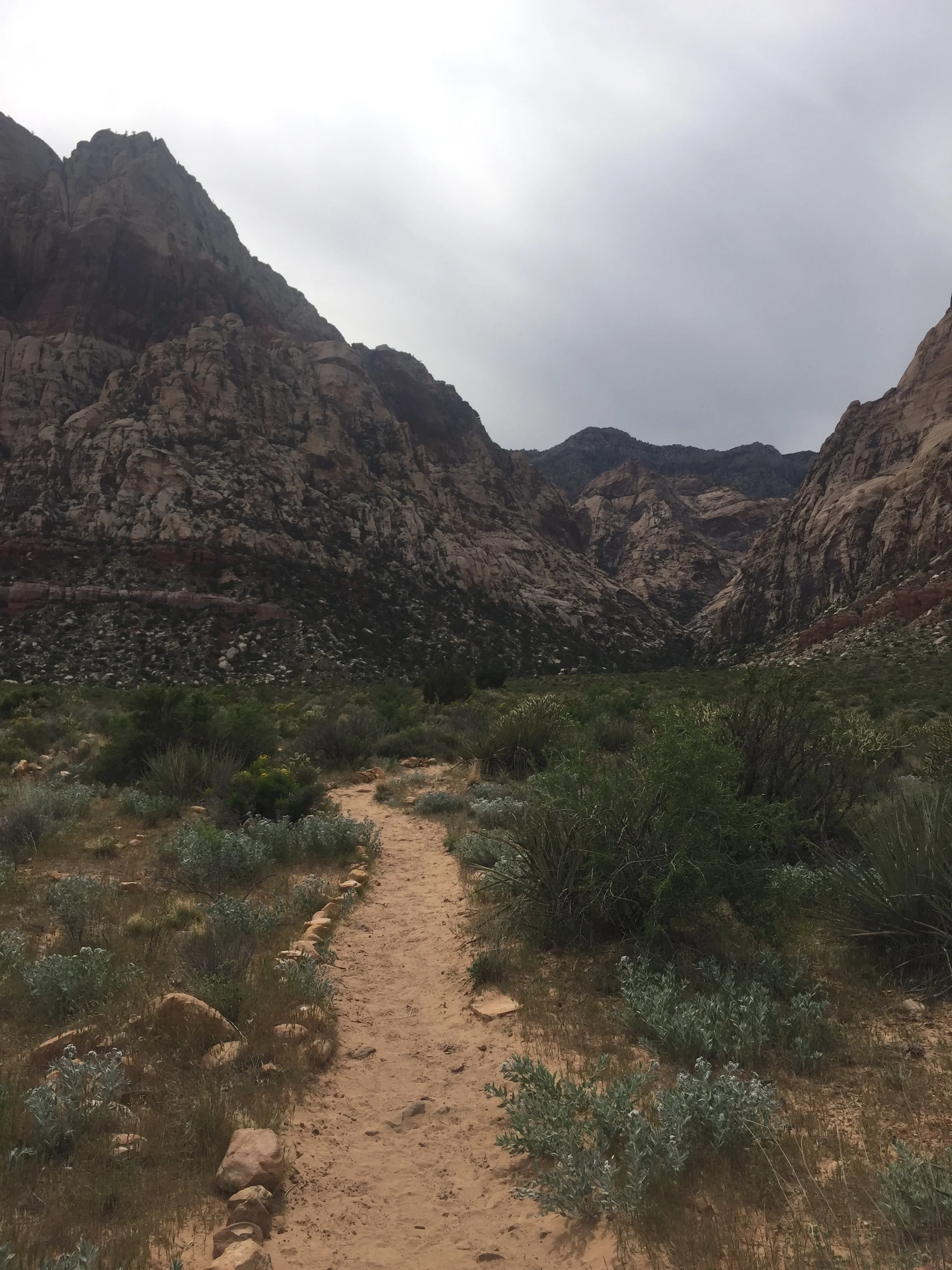
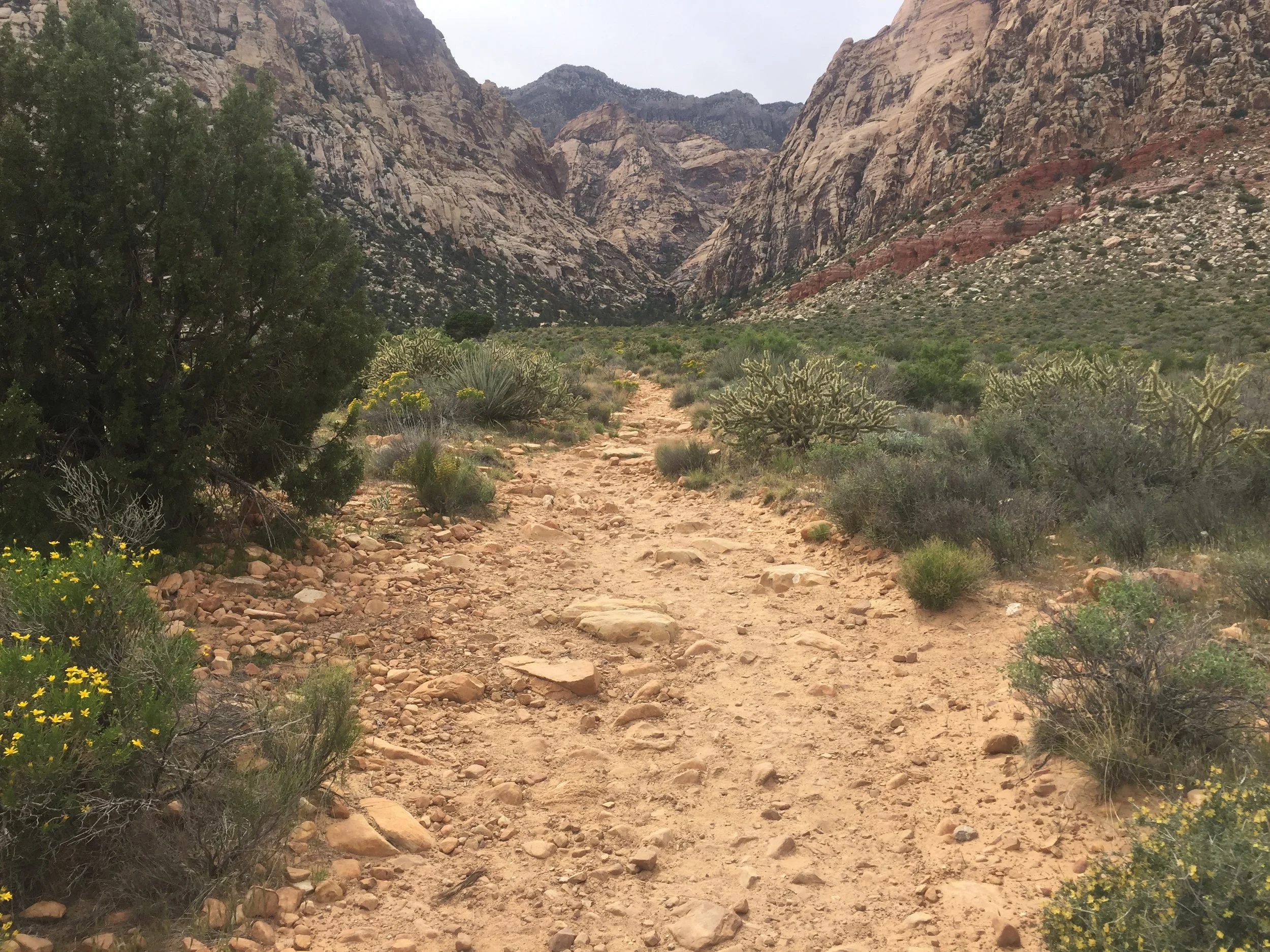
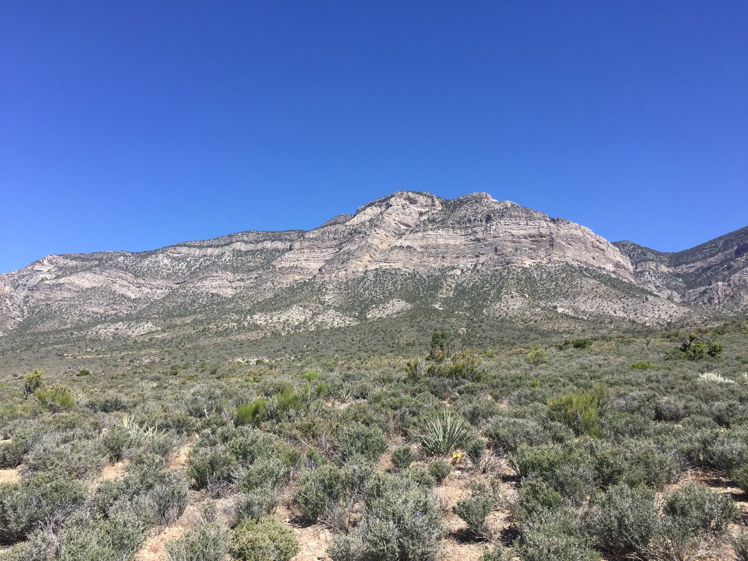
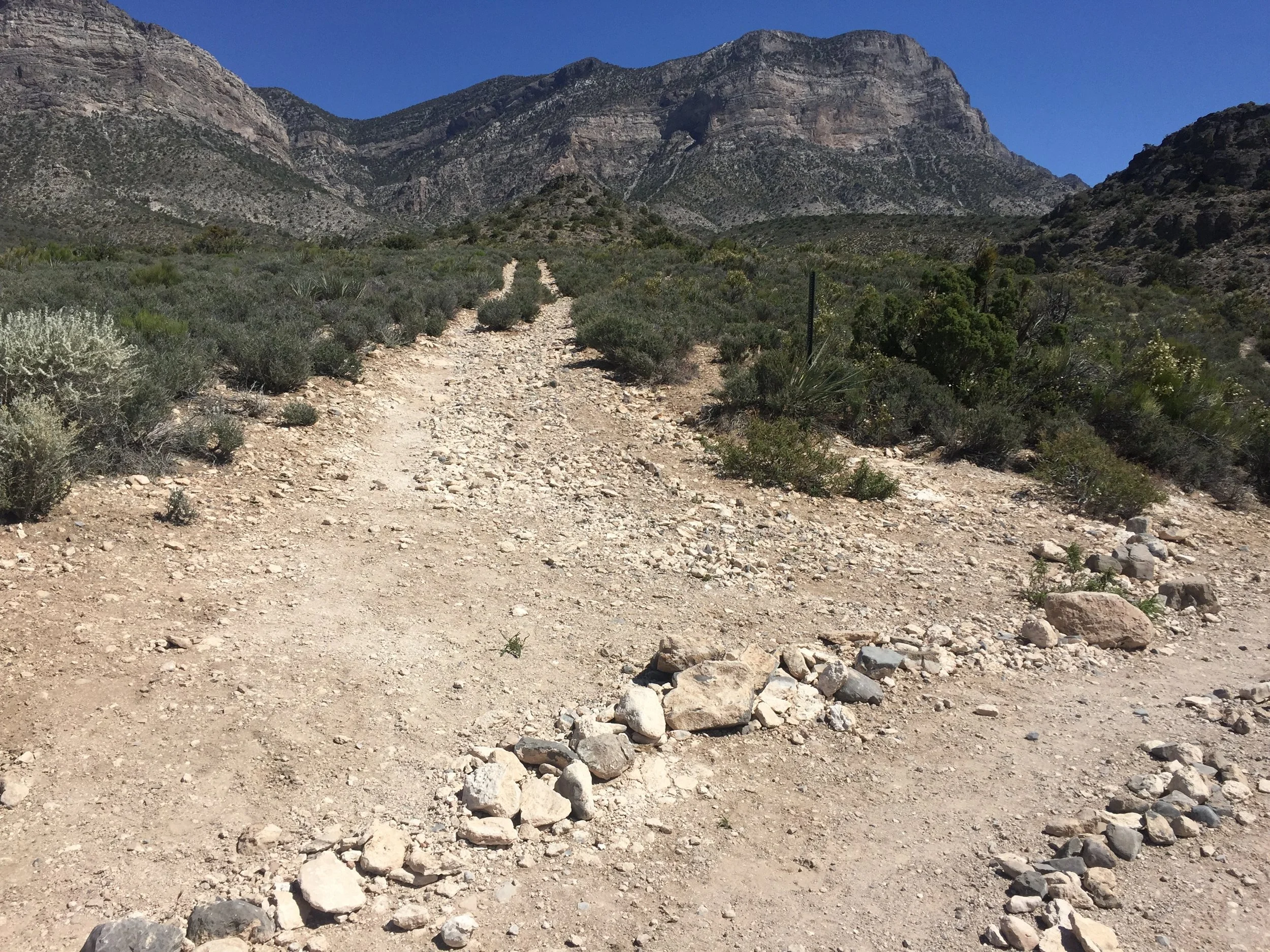
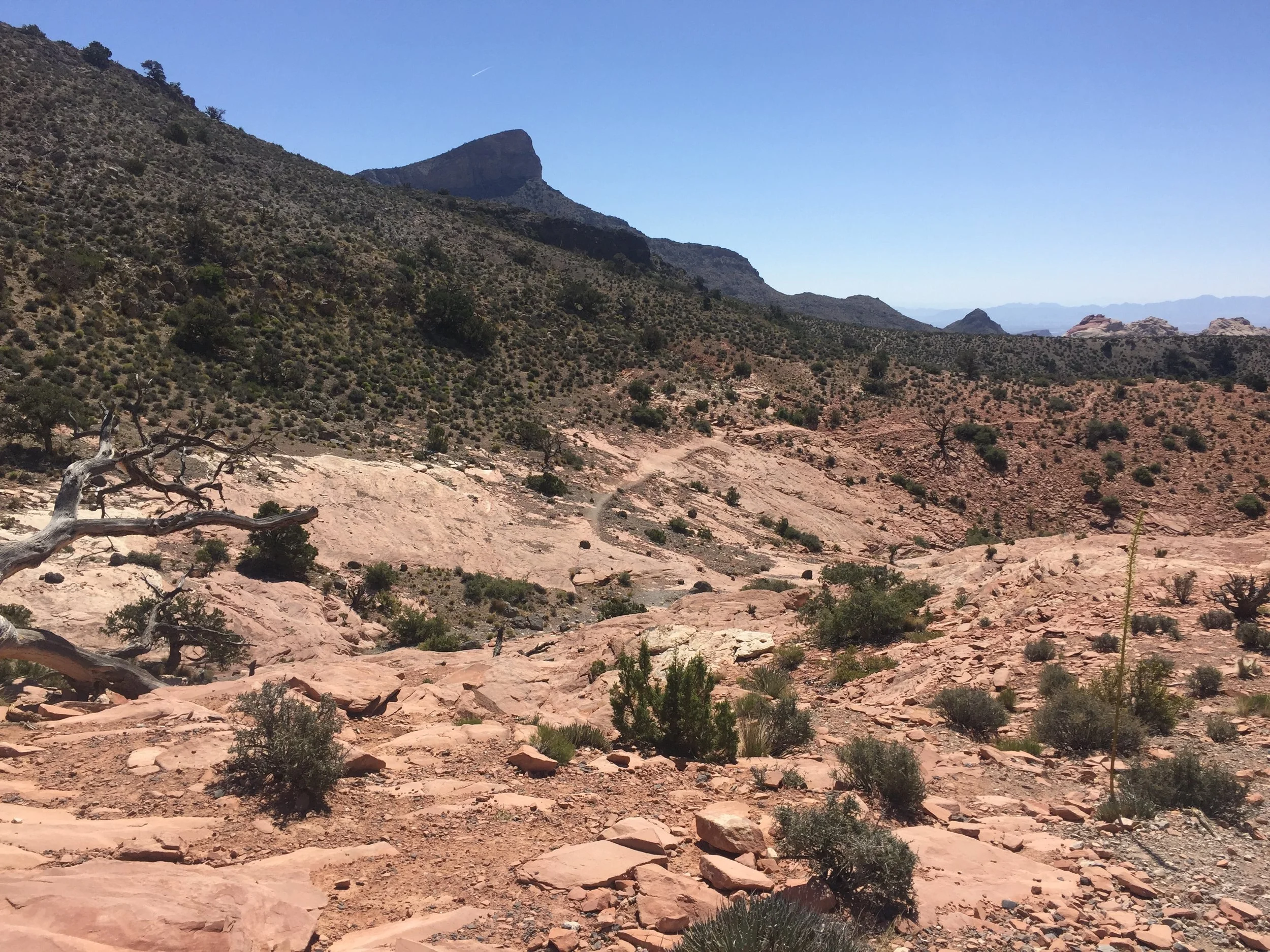
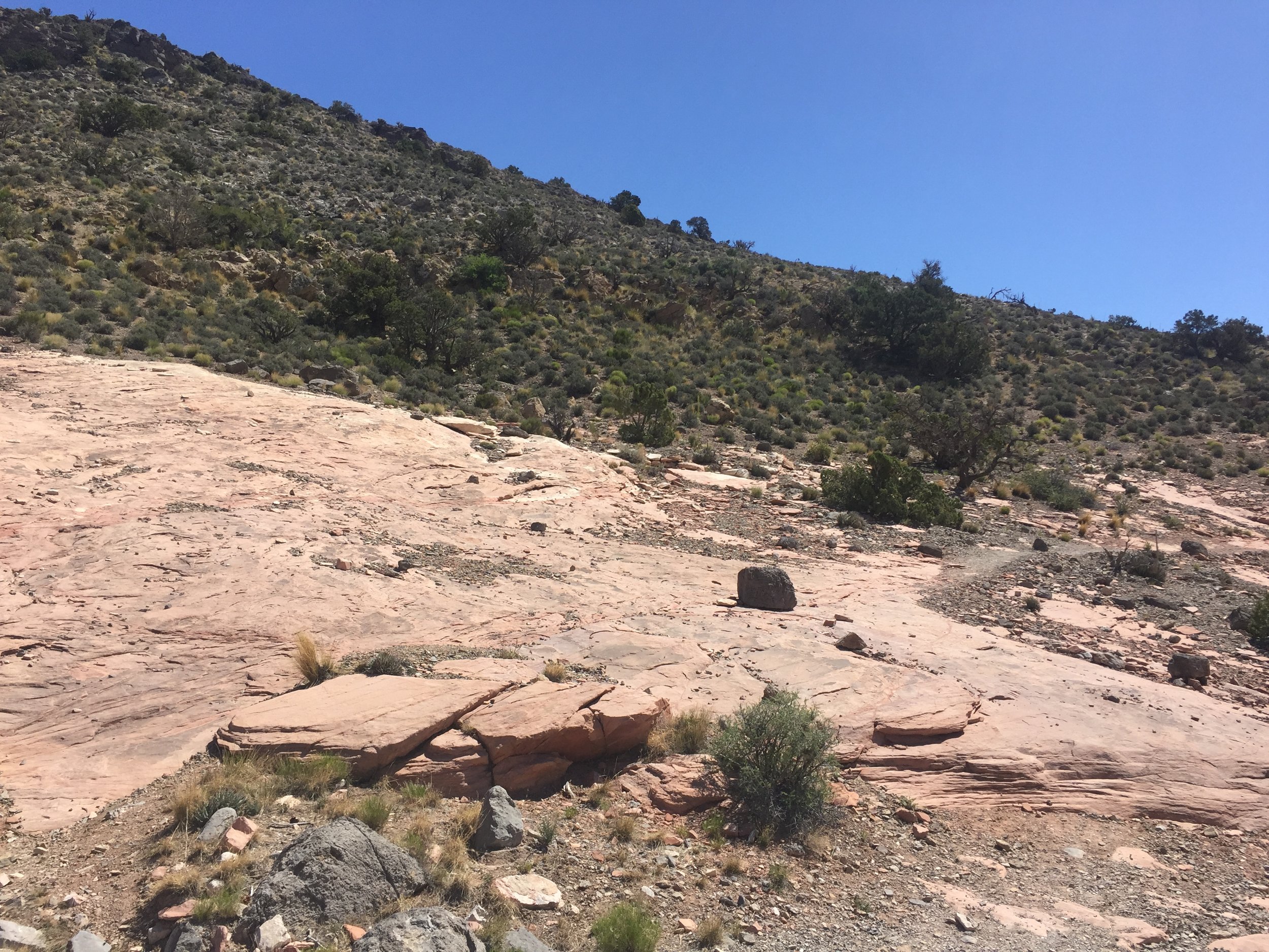
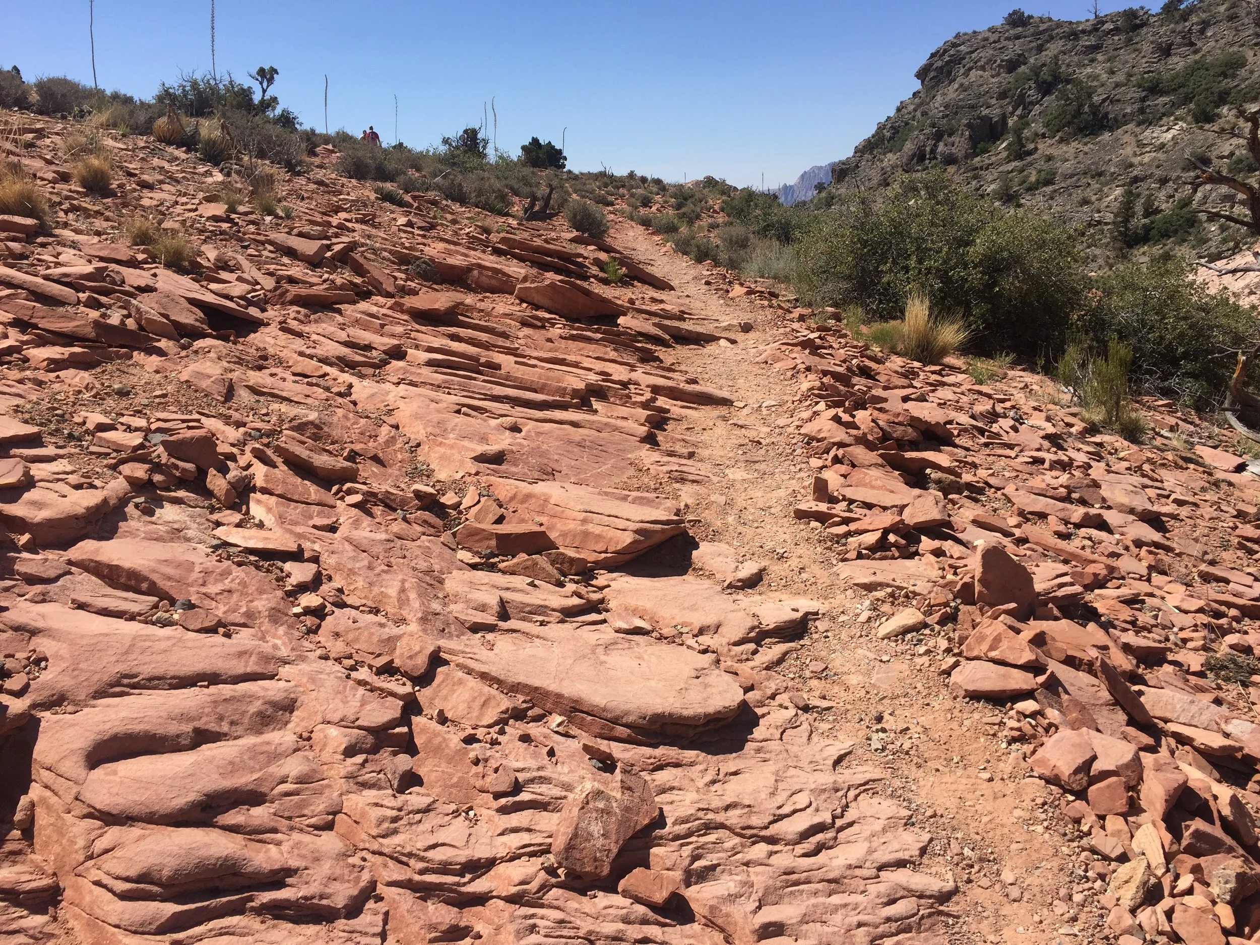
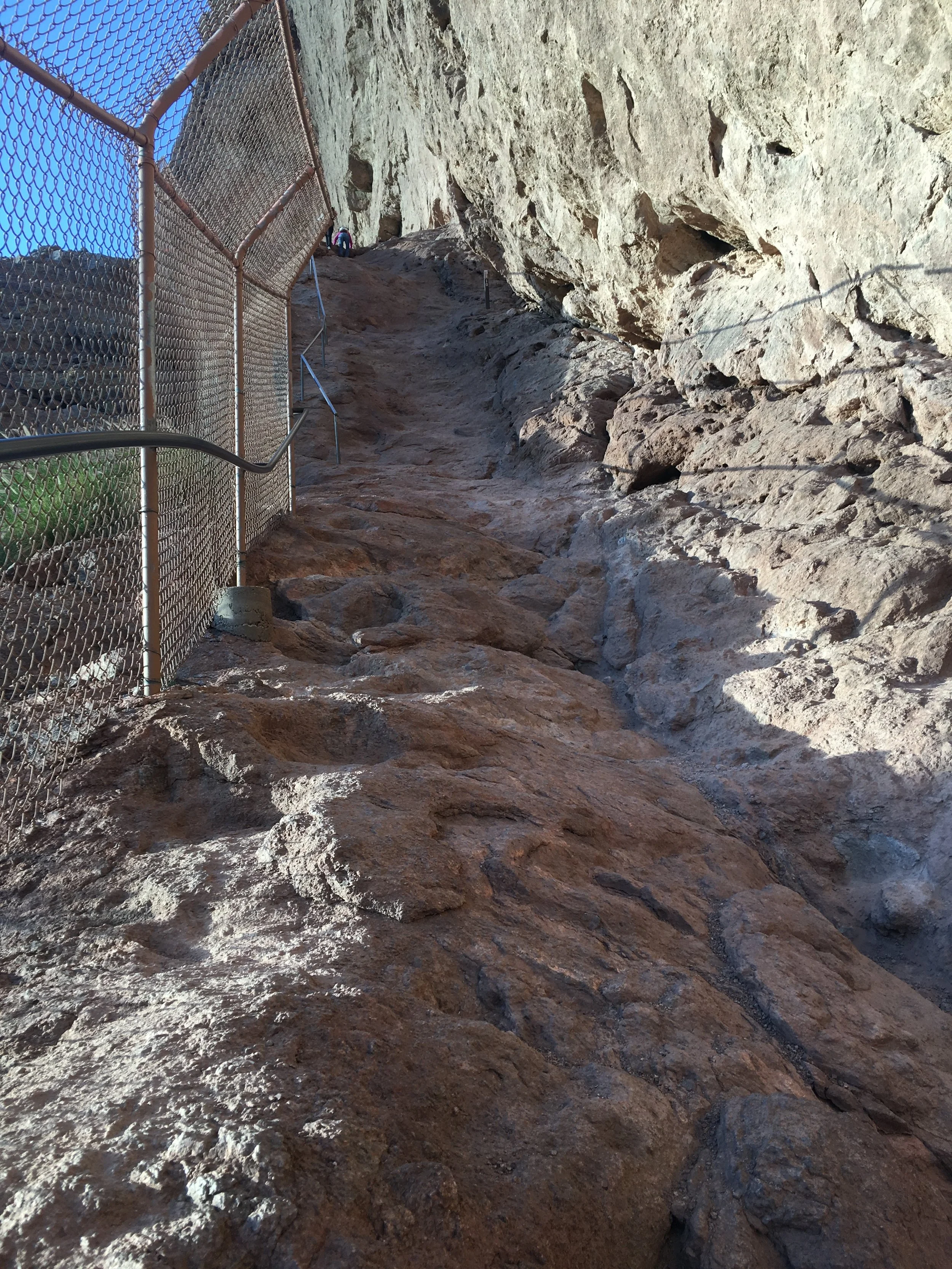
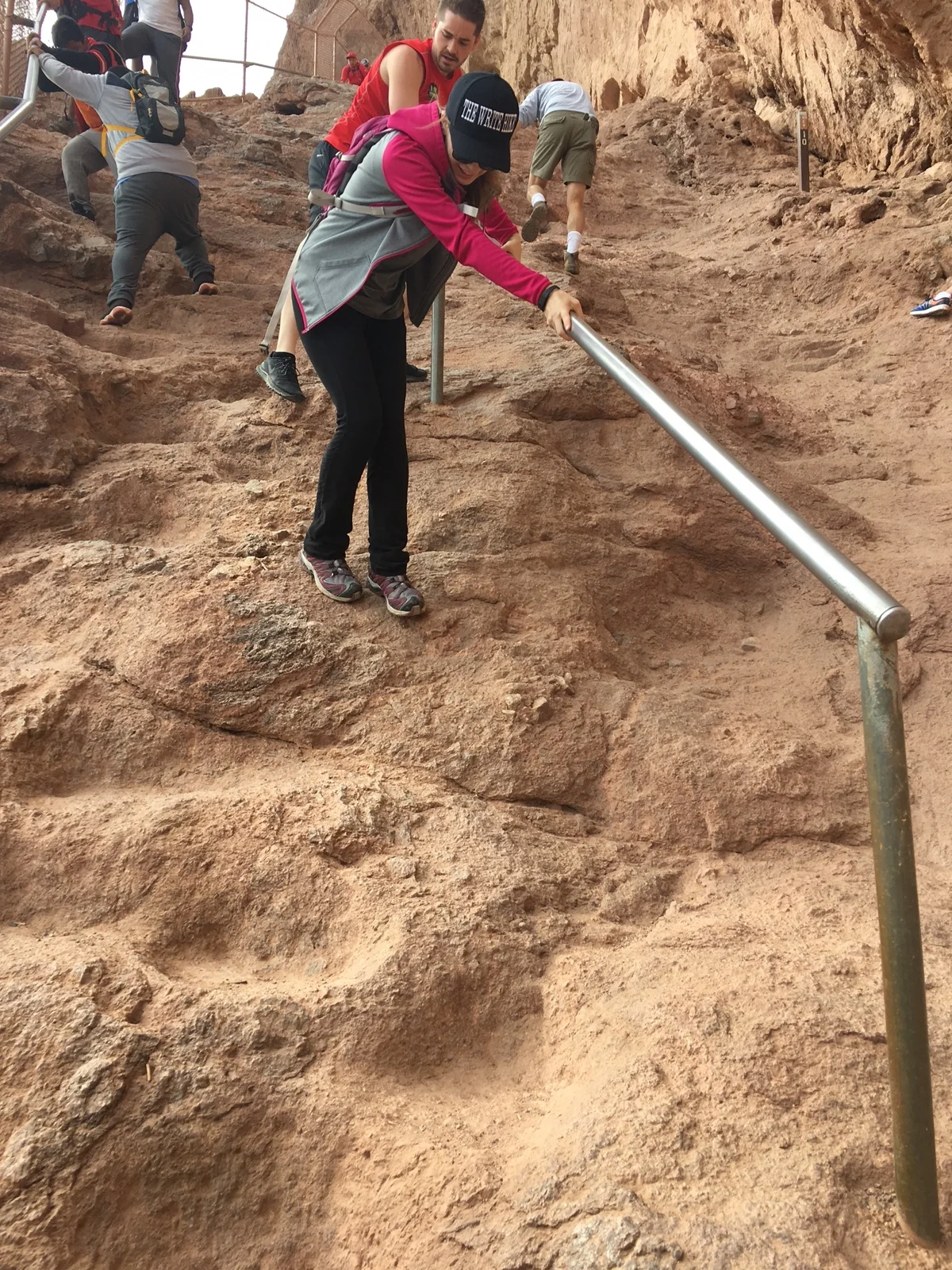
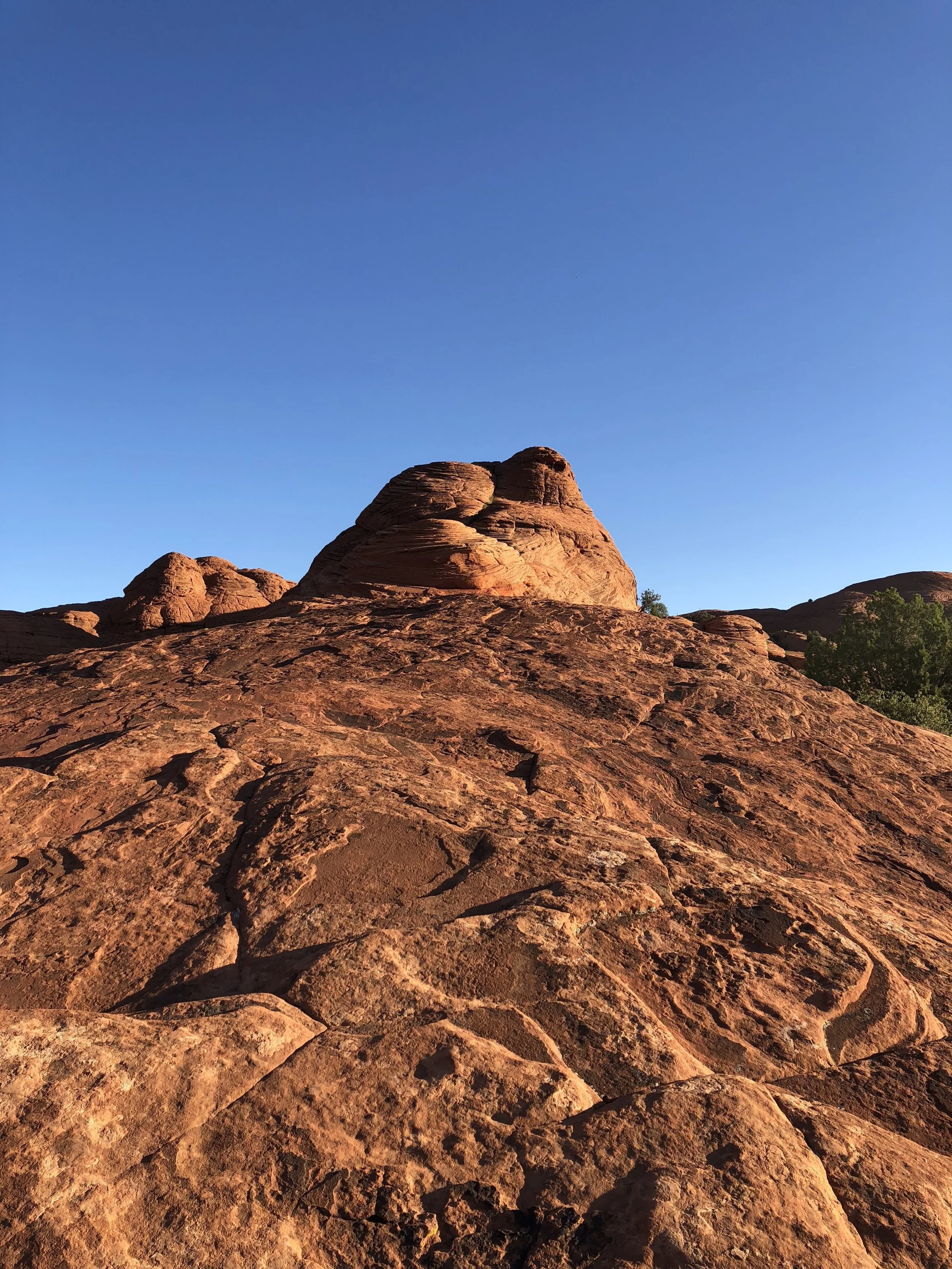
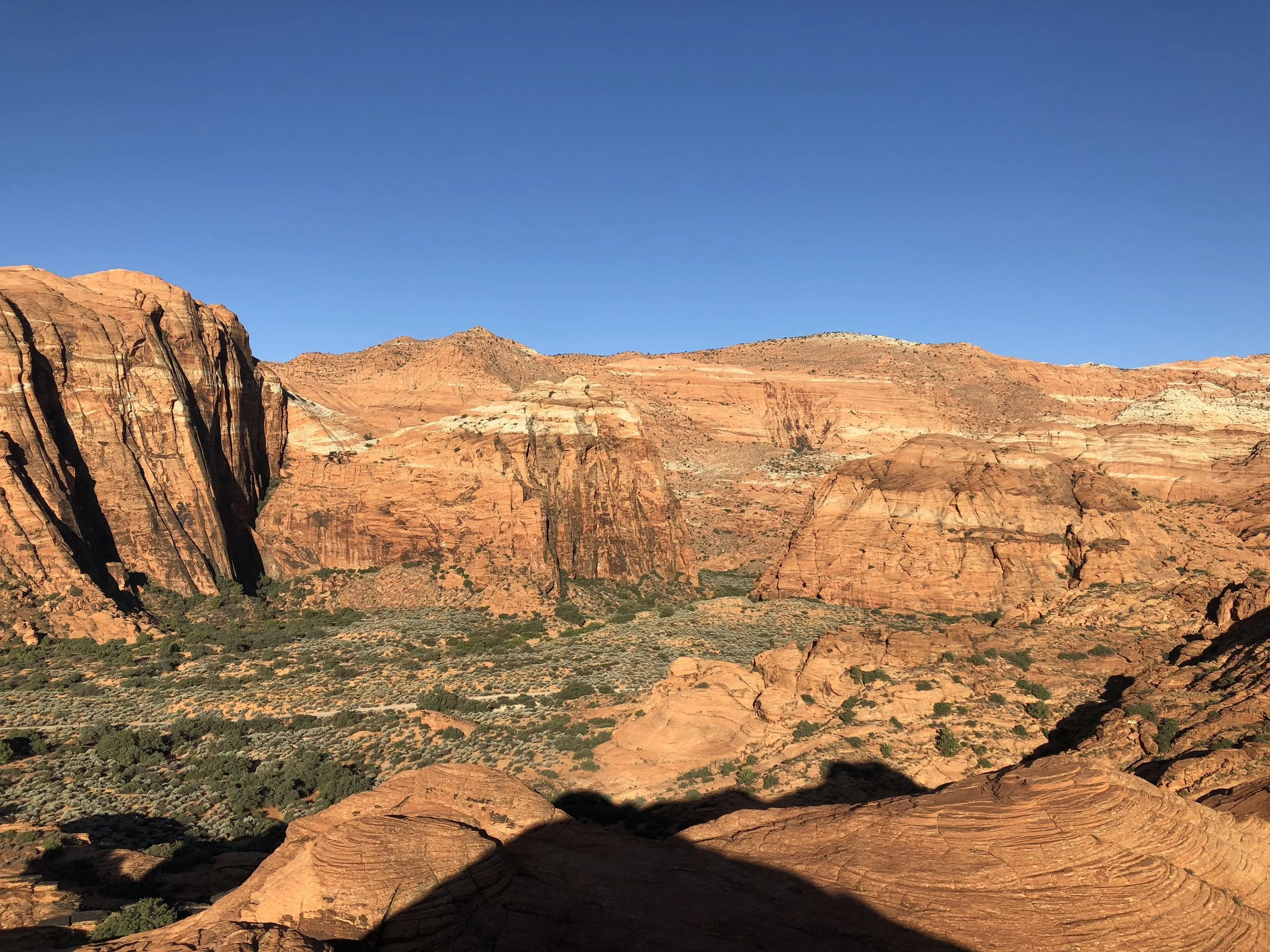
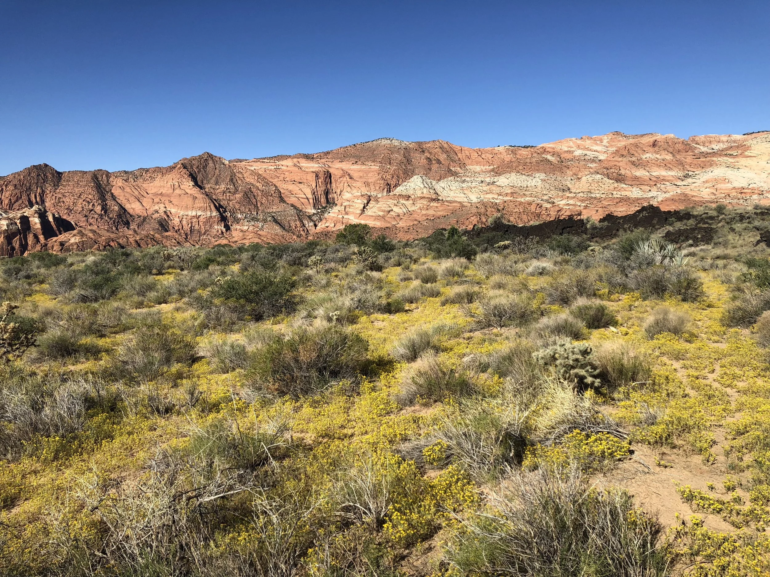
Essentials: The first part of the hike is a fairly easy walk (kind of boring too), but then you'll have to do some major scrambling. The hike has built in ropes to climb up large boulders (see pics). There are several of these along the trail. You should definitely wear hiking shoes with grip. Be careful doing this hike in the spring because it can still get hot. You'll need extra (I'm not kidding, extra!) water.
Tips: Take your time with the hike, so you don't get overheated. I also recommend bringing a lunch, so you can enjoy the hike on the way back without having an empty stomach. You'll also want the protein for strength. I recommend hiking/workout gloves for the ropes and rock scrambling. At times, it hurt my hands. If you want to go in the Colorado River, plan on bringing some water shoes. You can put them in your backpack, so you don't hurt your bare feet on the rocks. Do not just put your regular hiking shoes in the water, then plan to hike back. You do not want slippery shoes heading back up the hike. Some will have a hard time scrambling up the ropes and boulders, so I advise having someone strong to help lift you up.
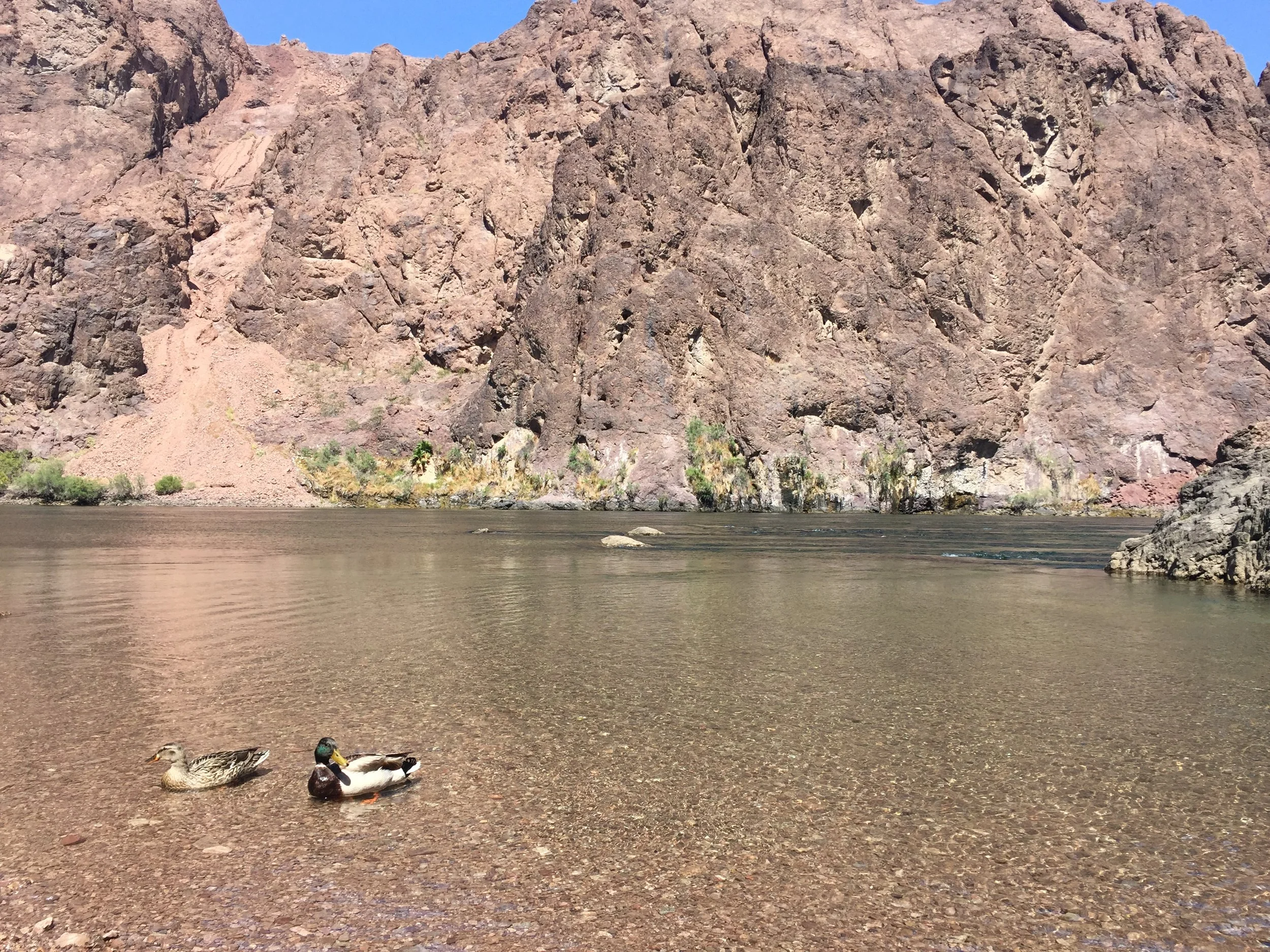
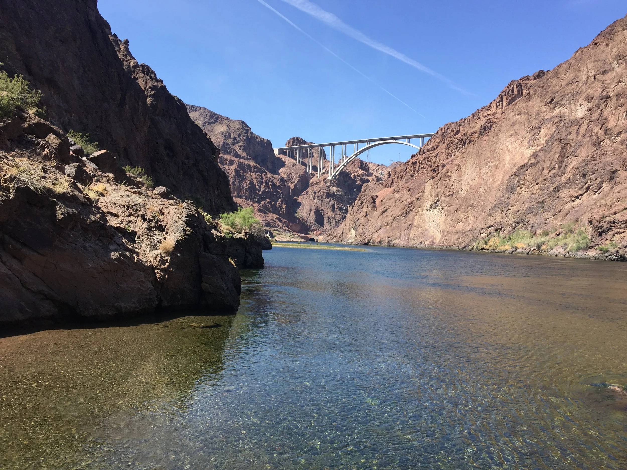
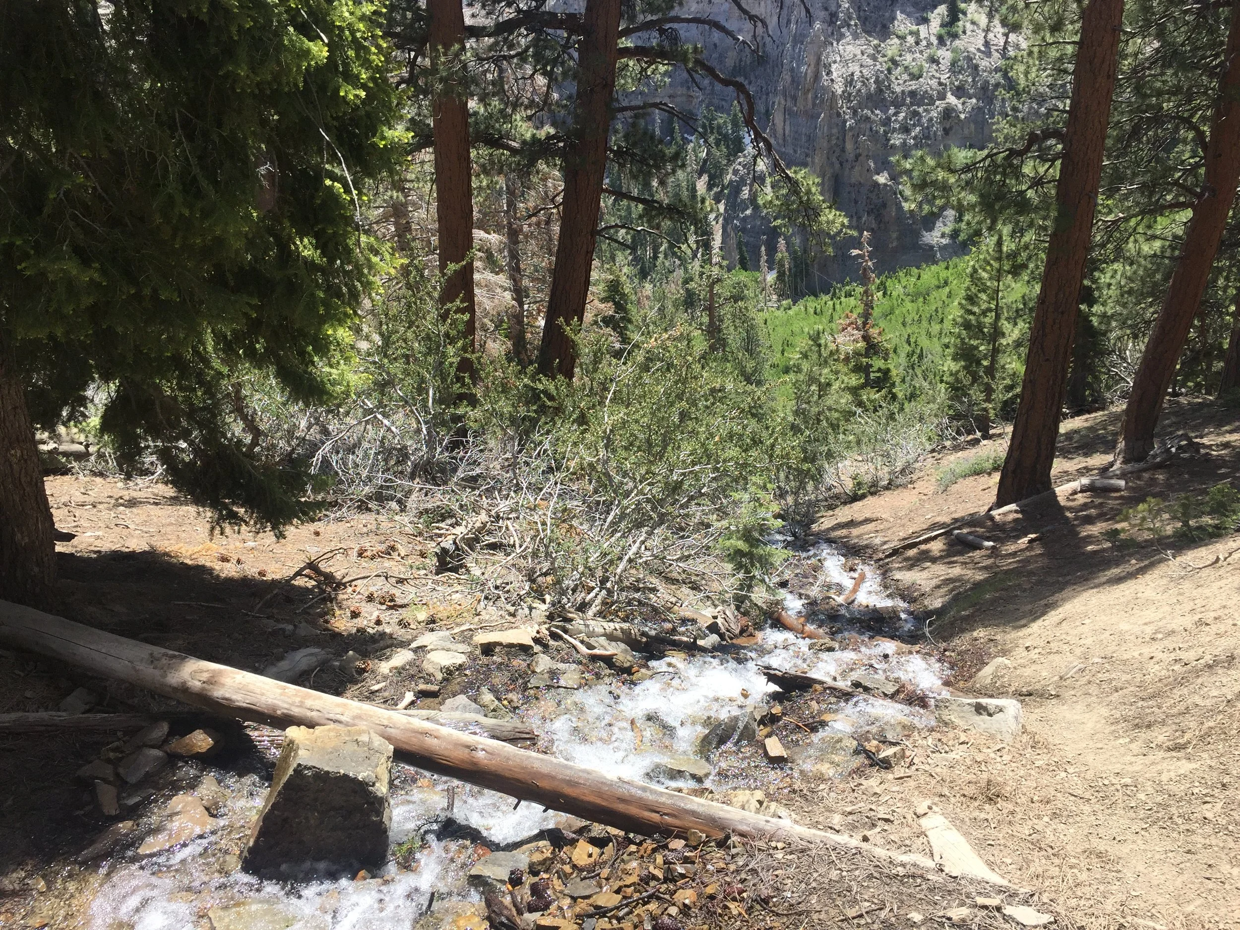
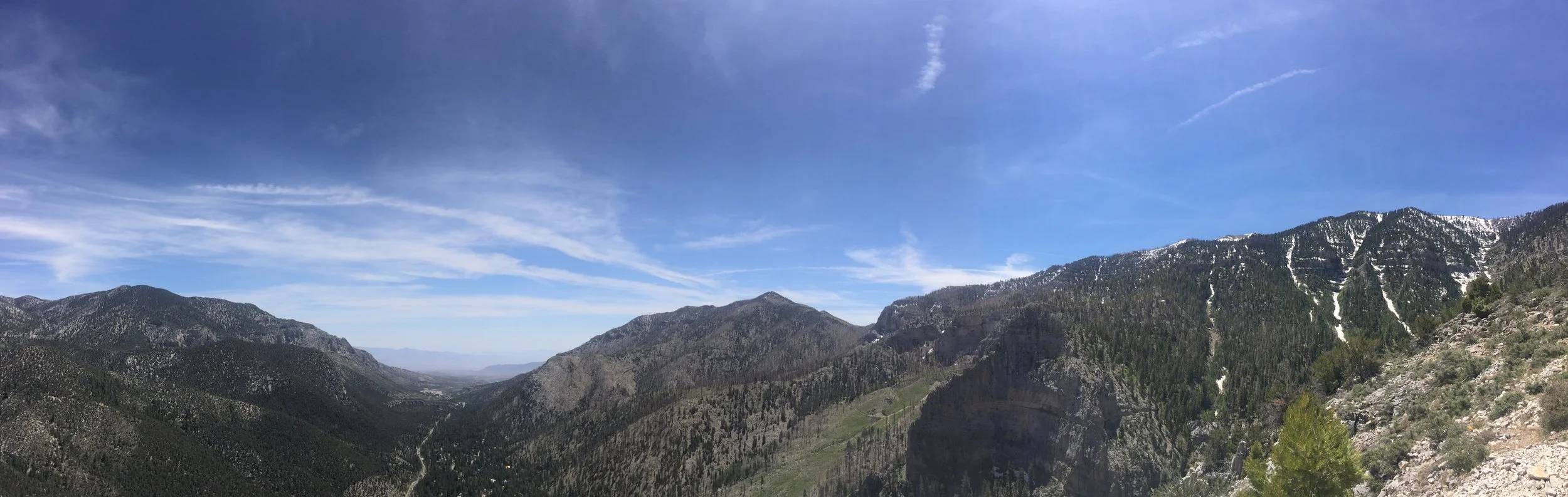
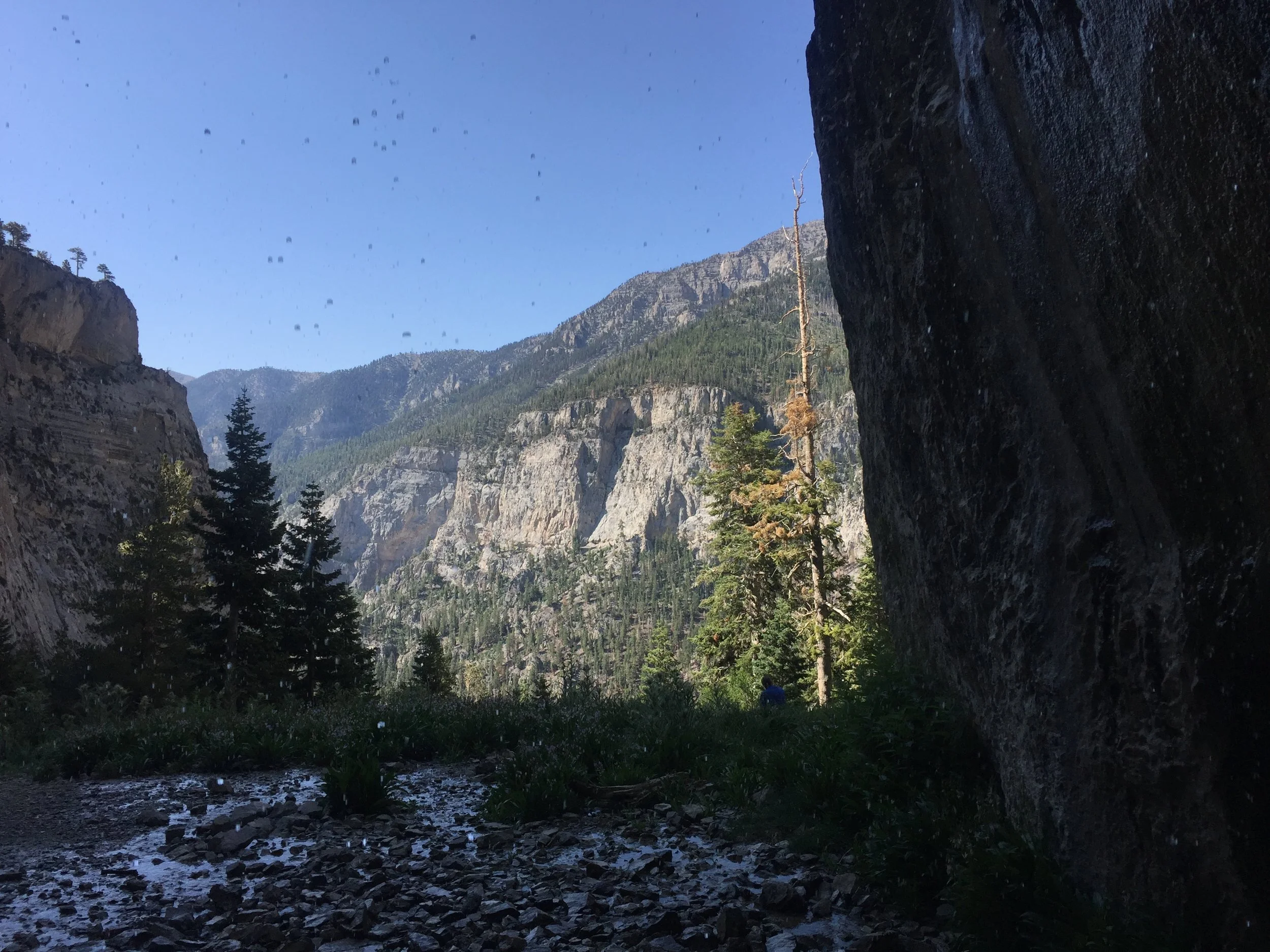
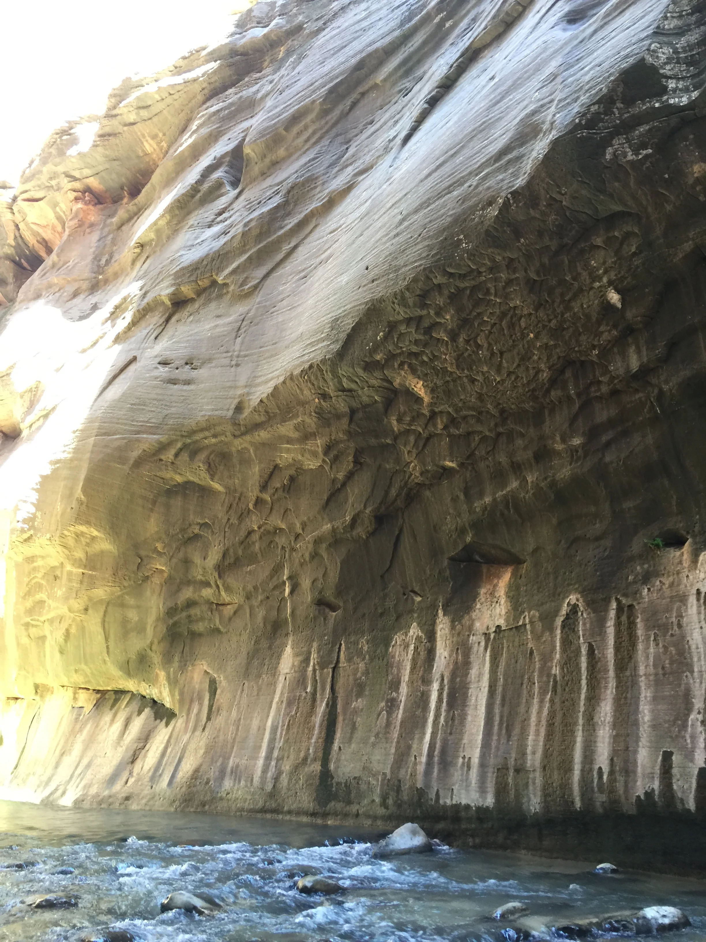
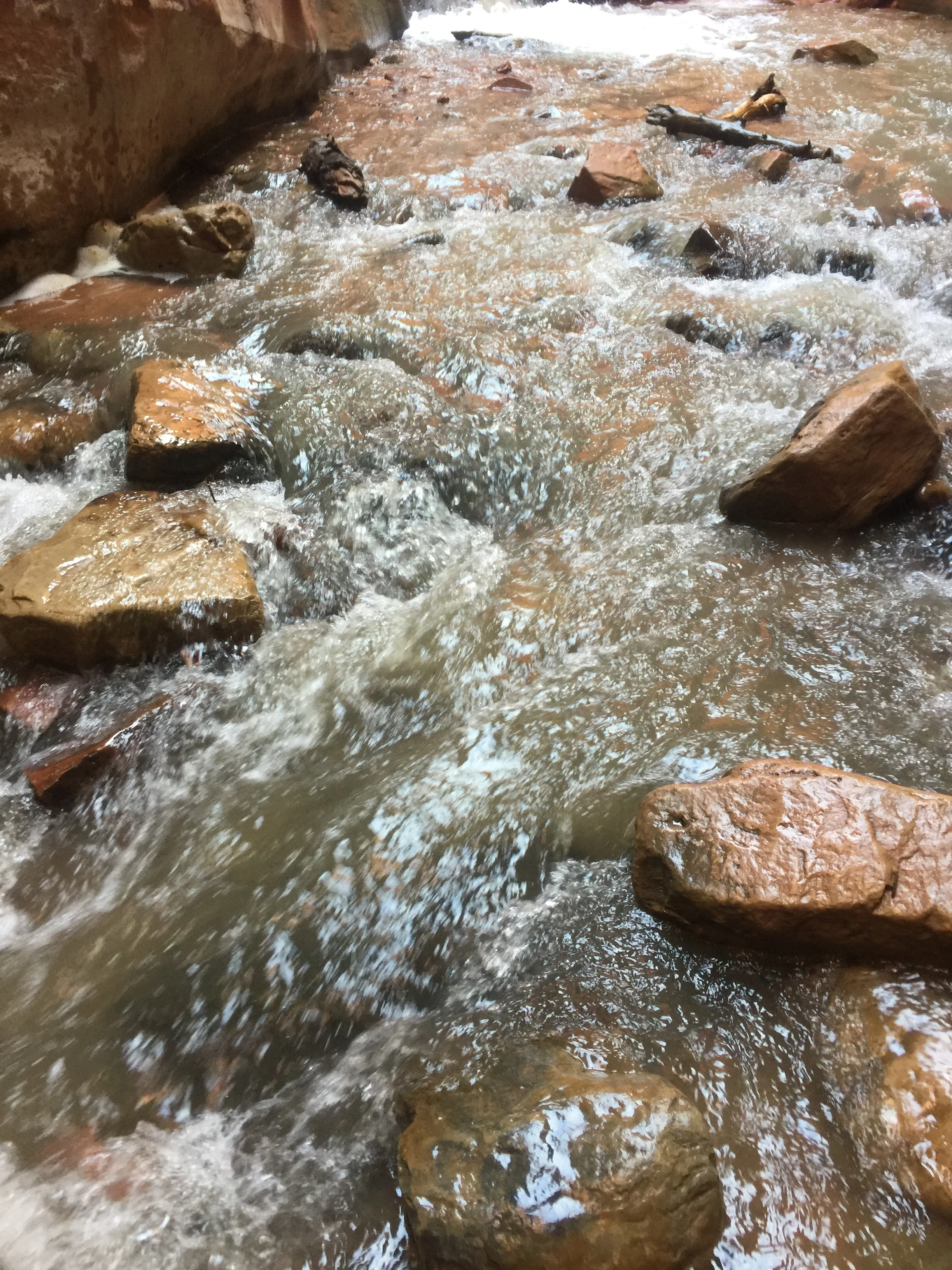
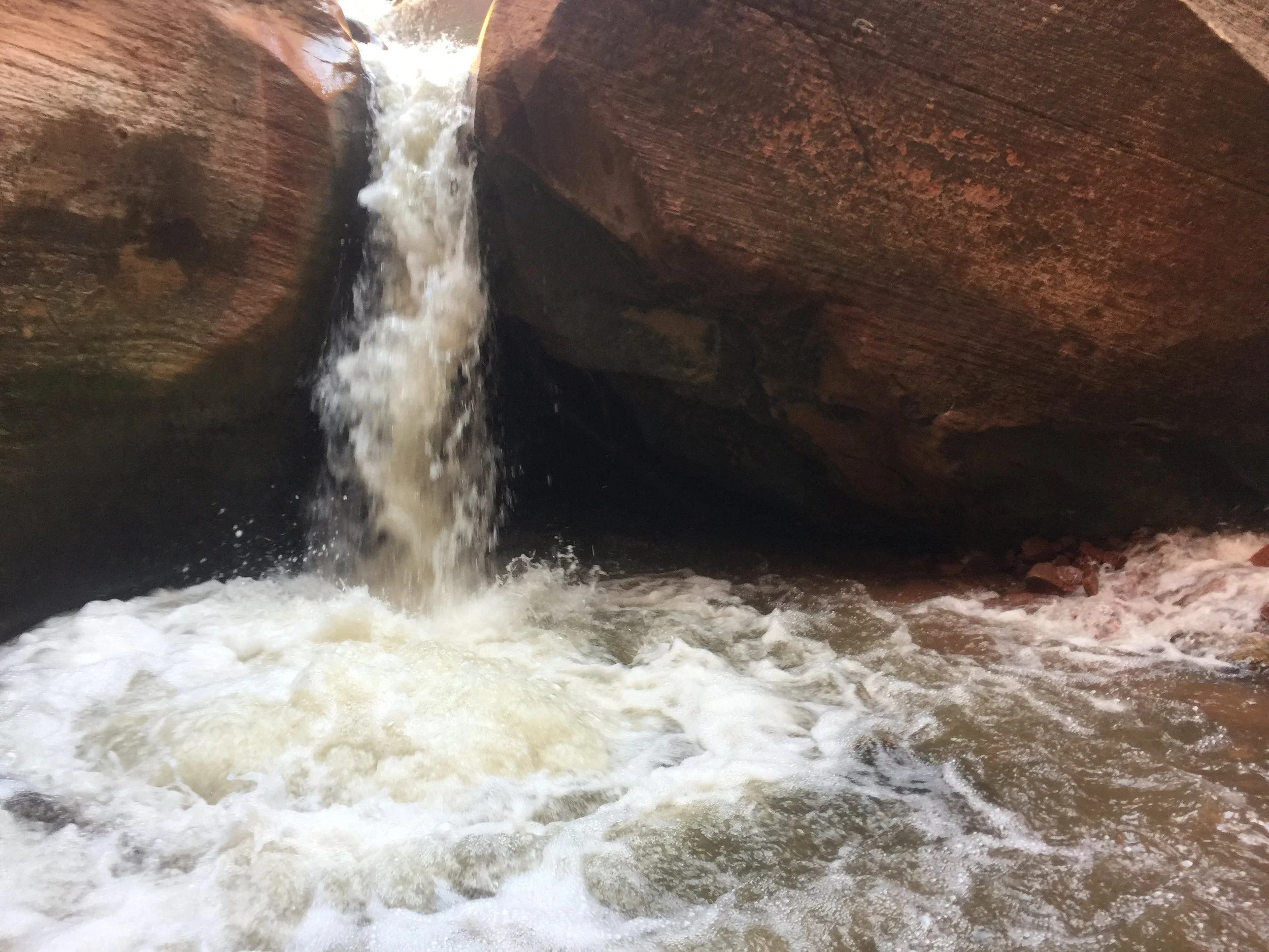
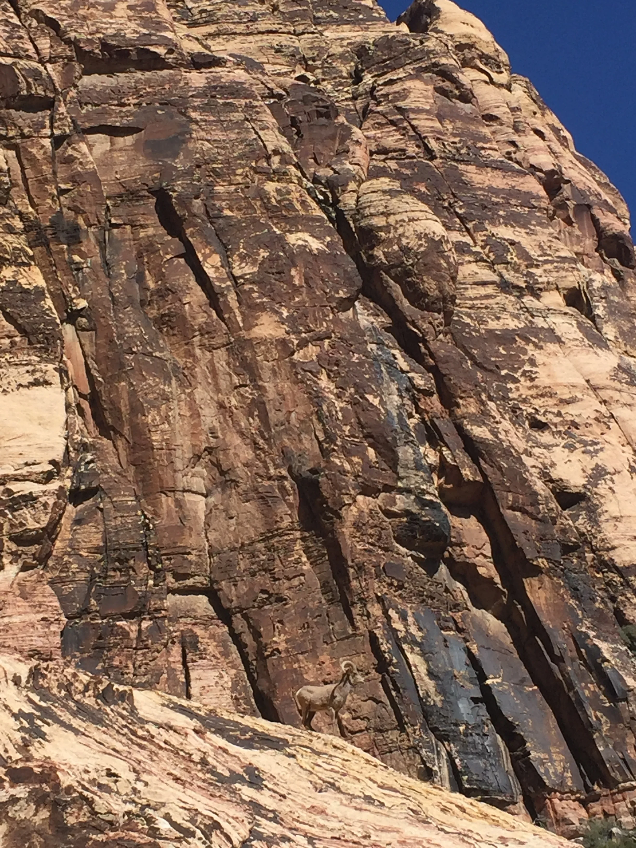
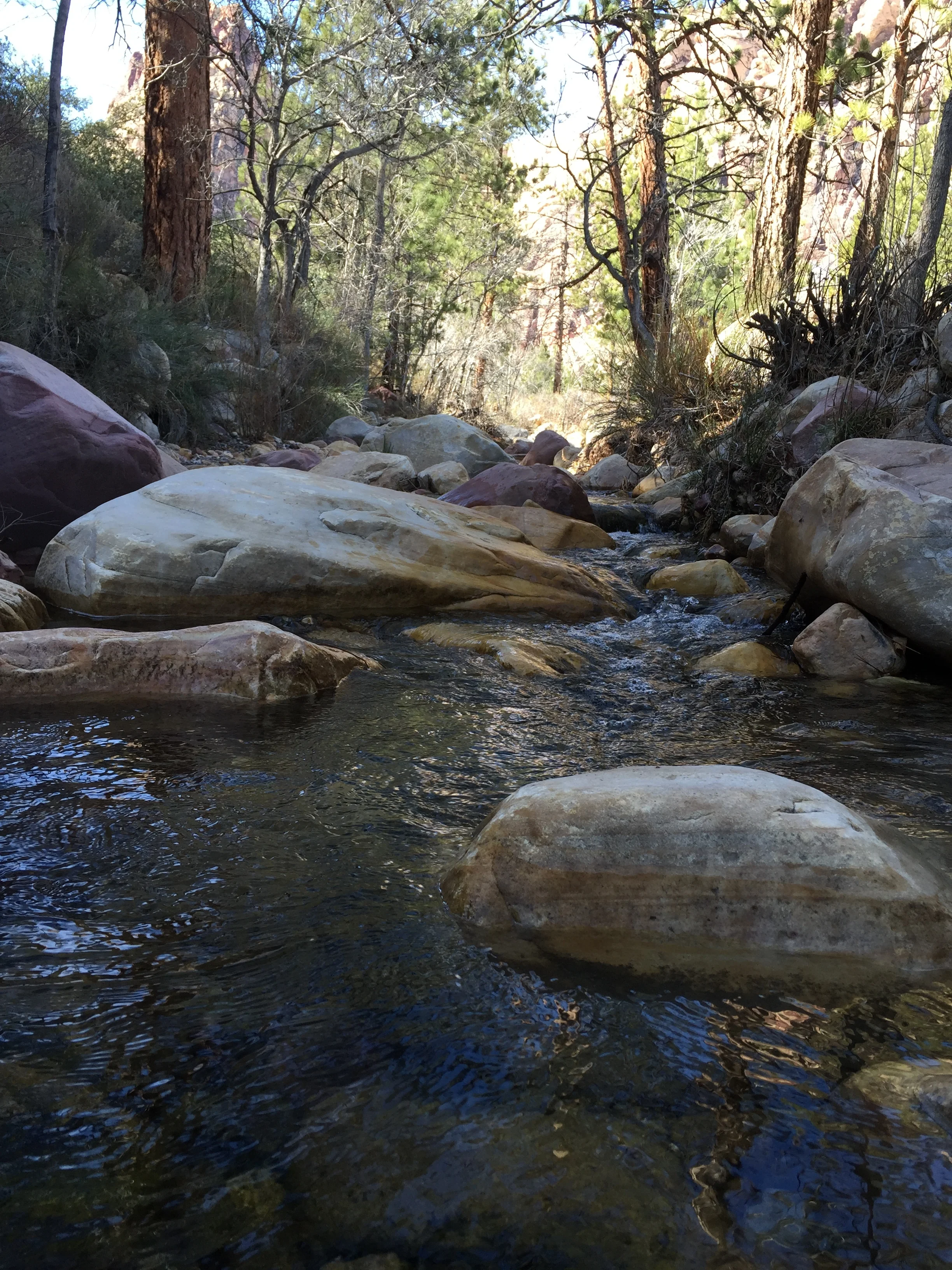
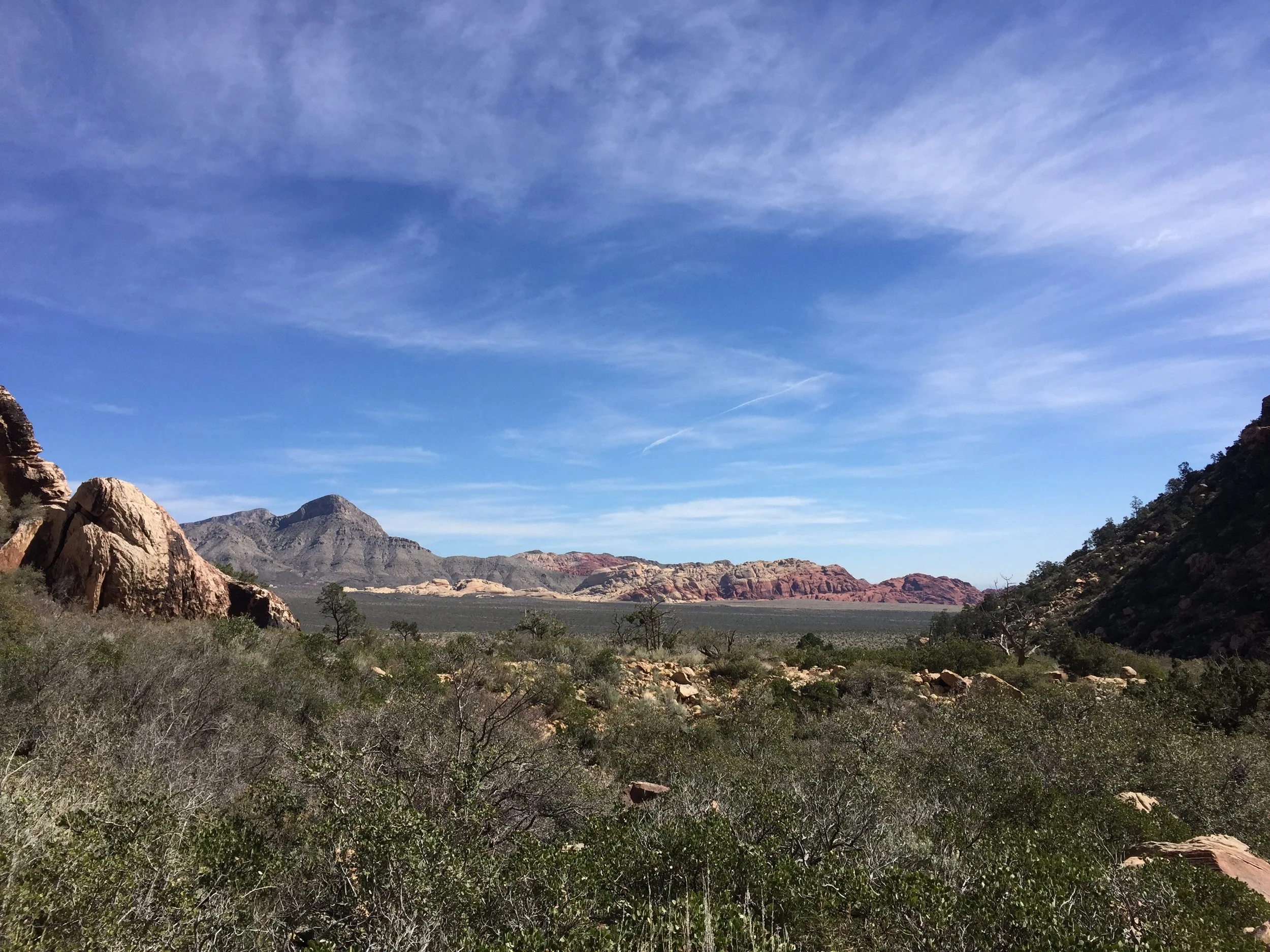
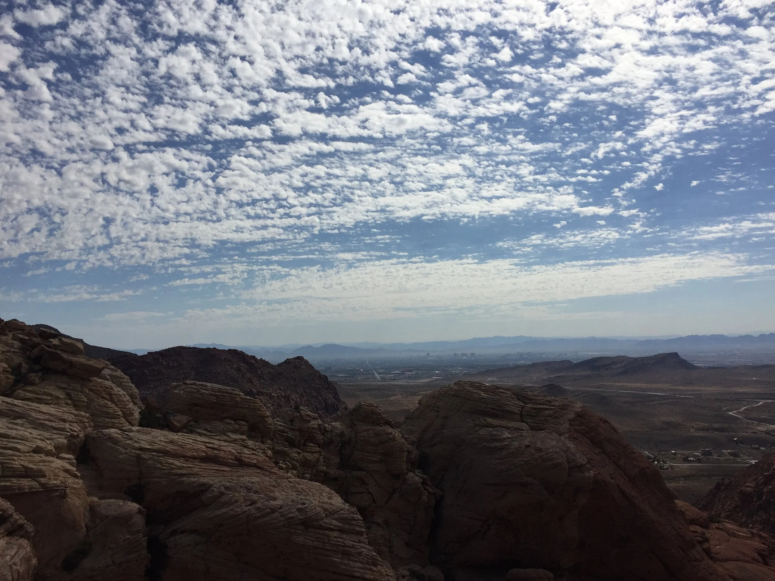
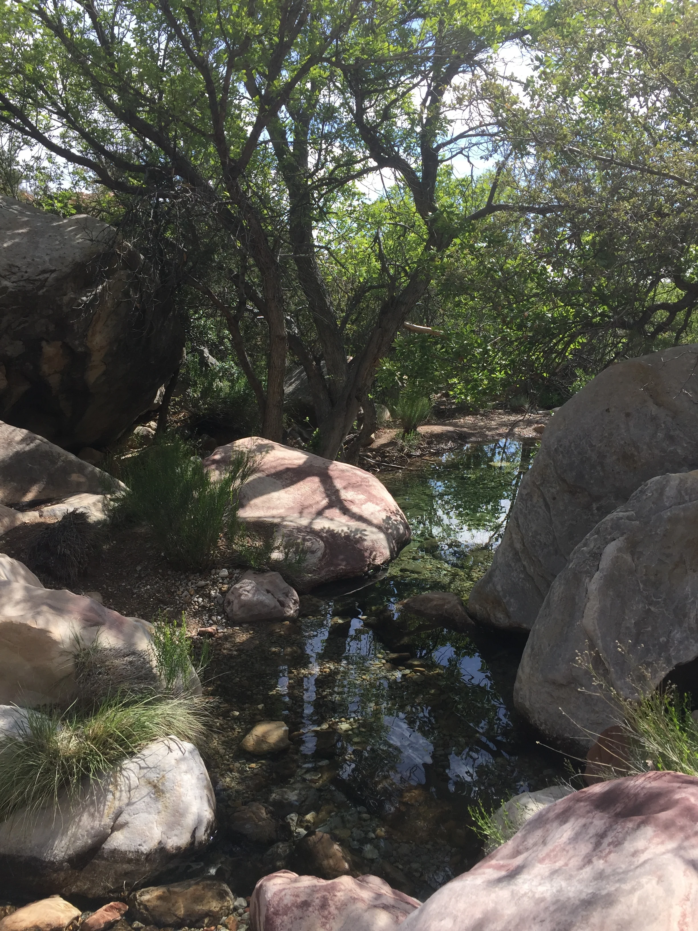
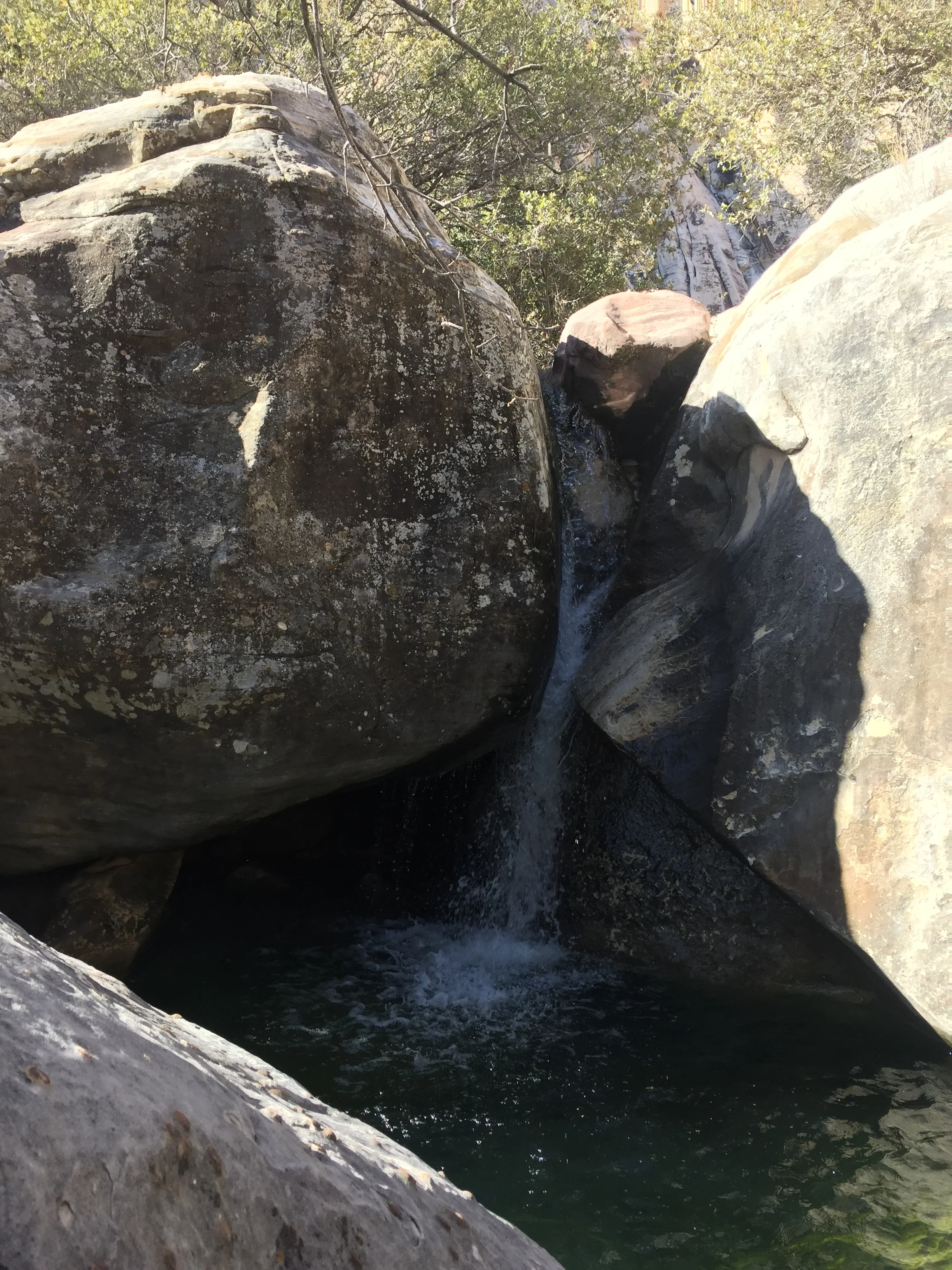
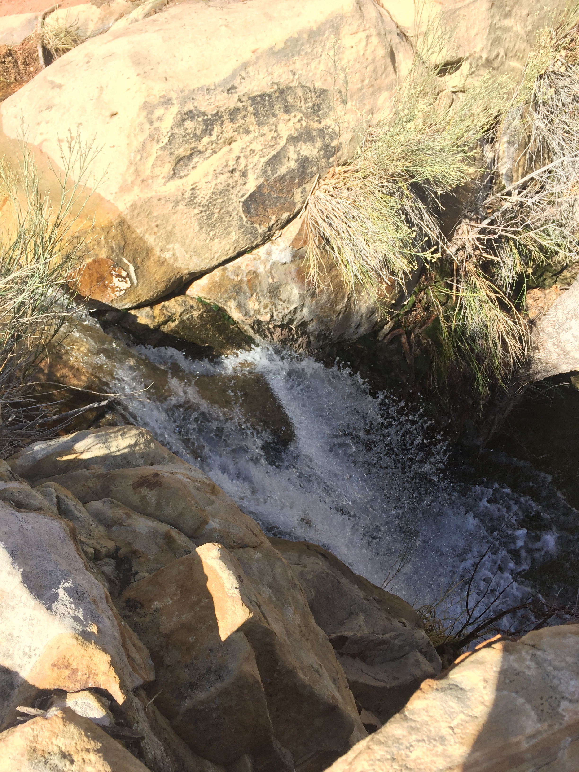
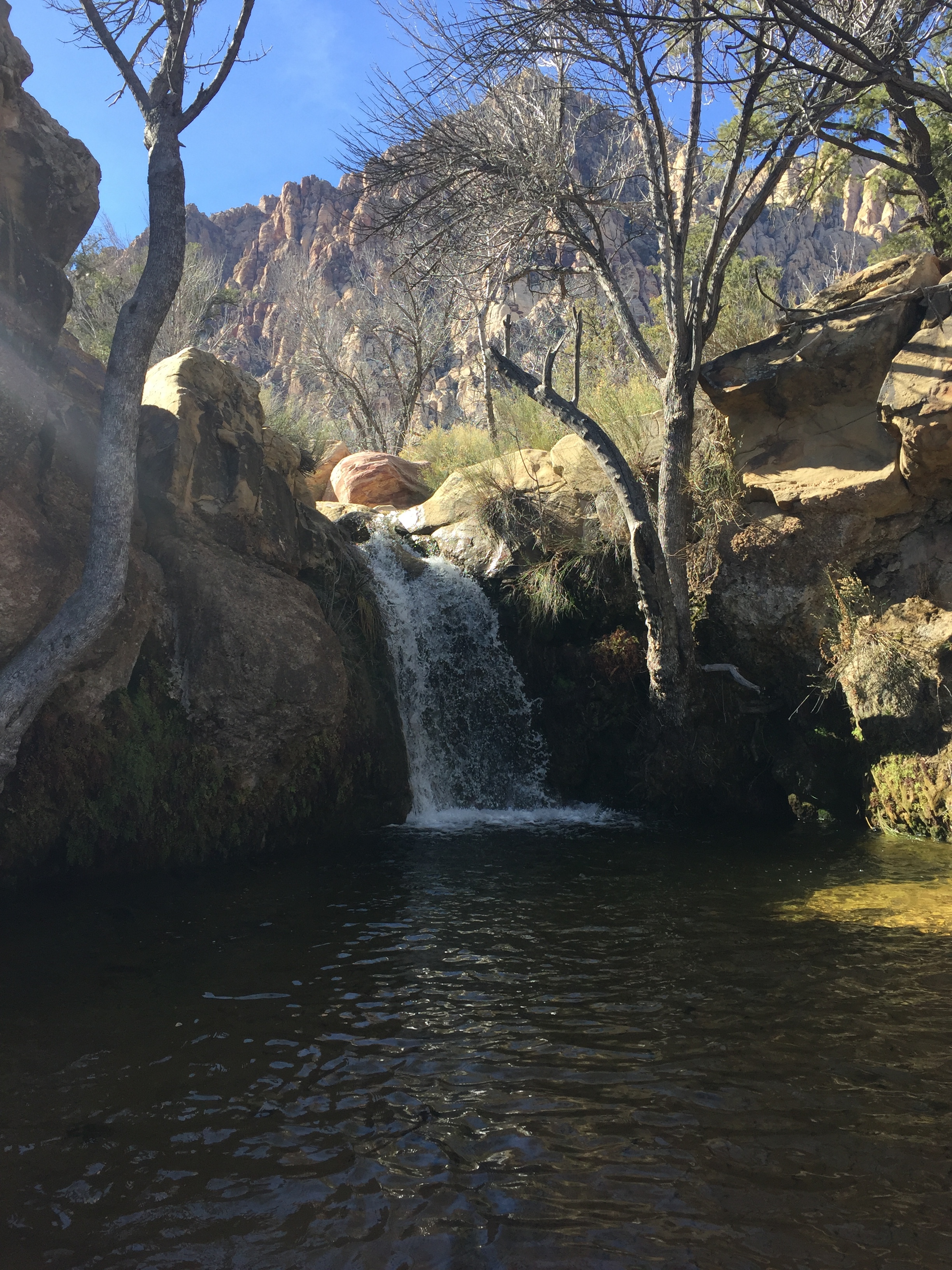
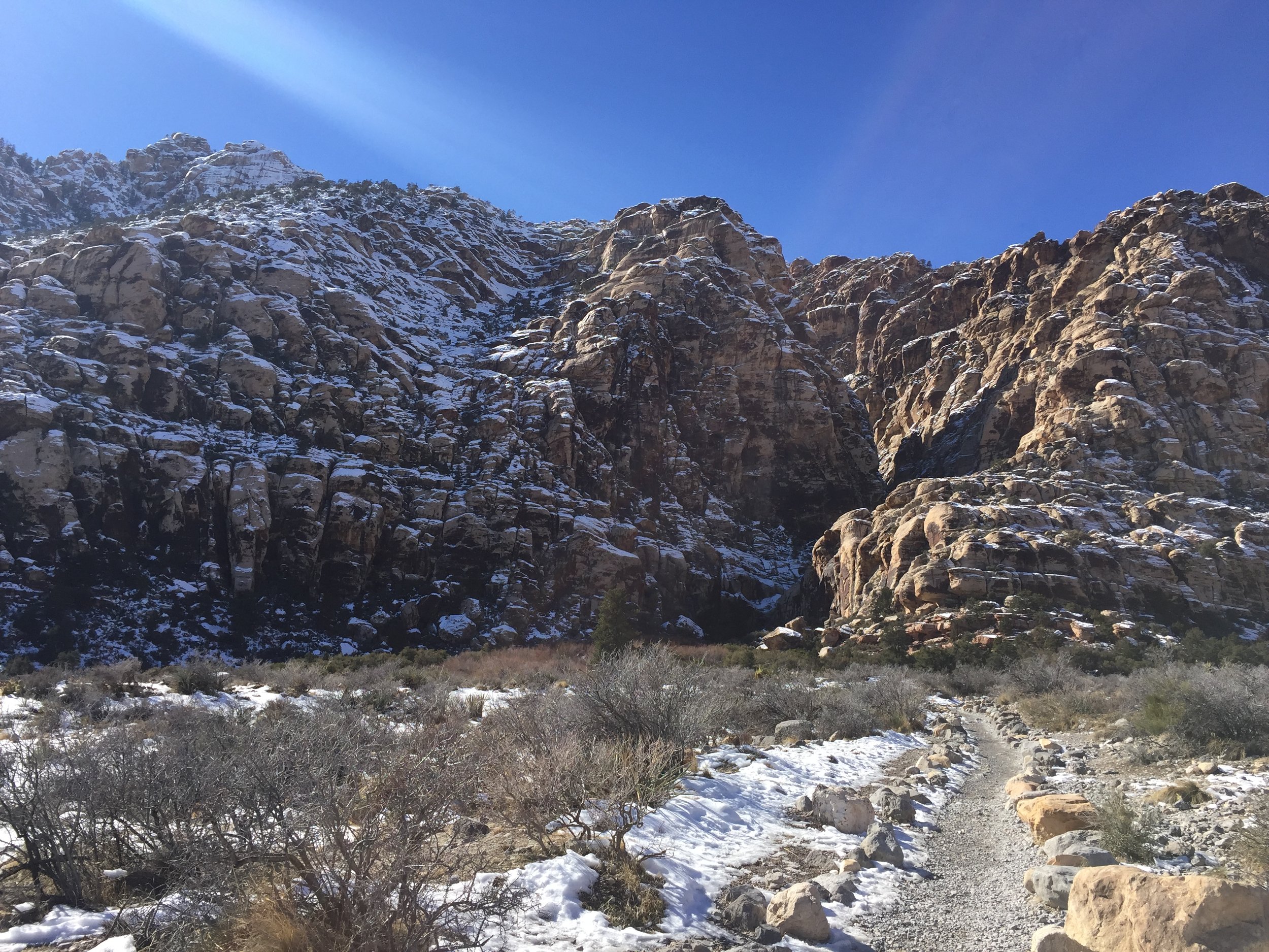
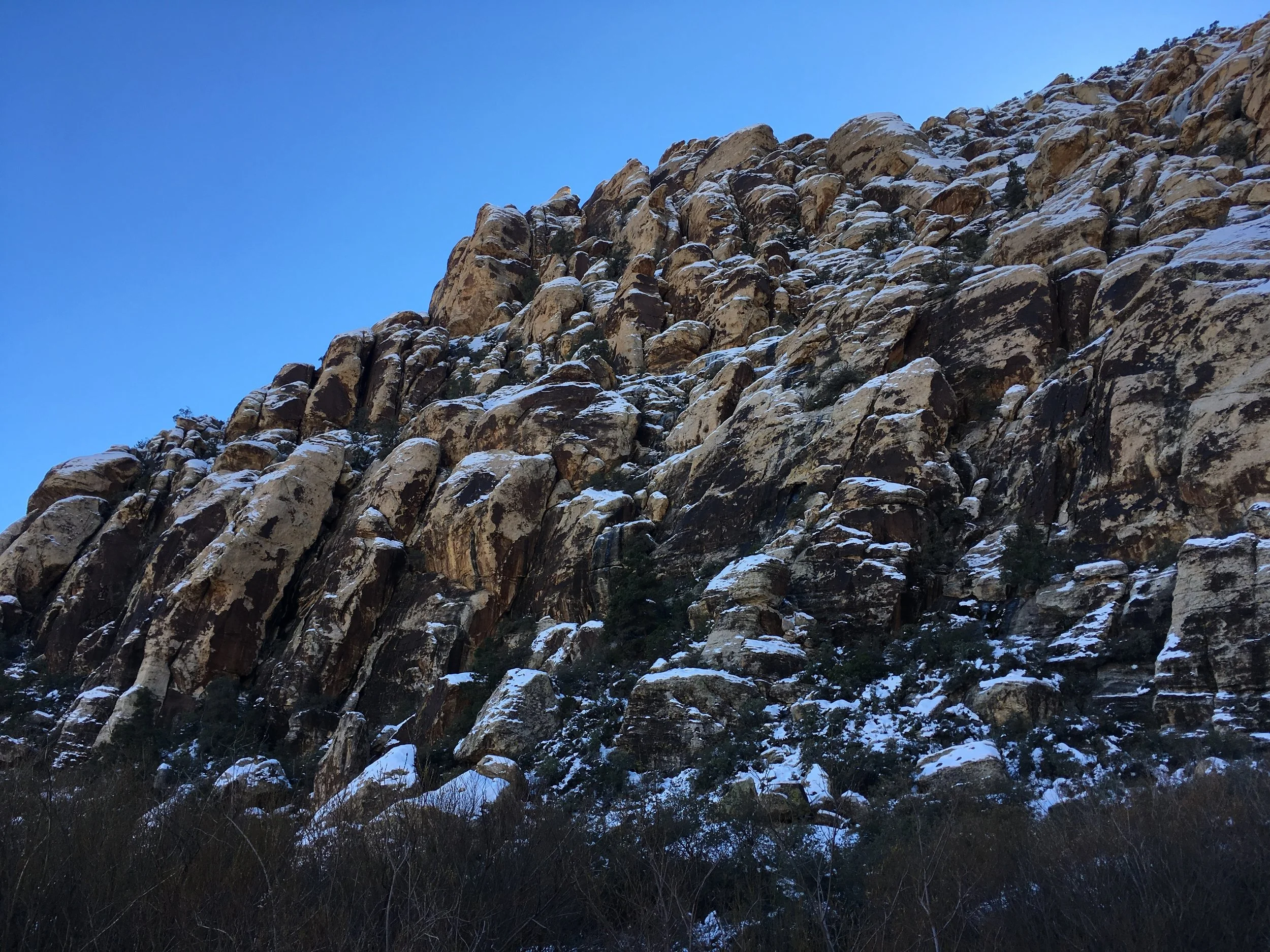
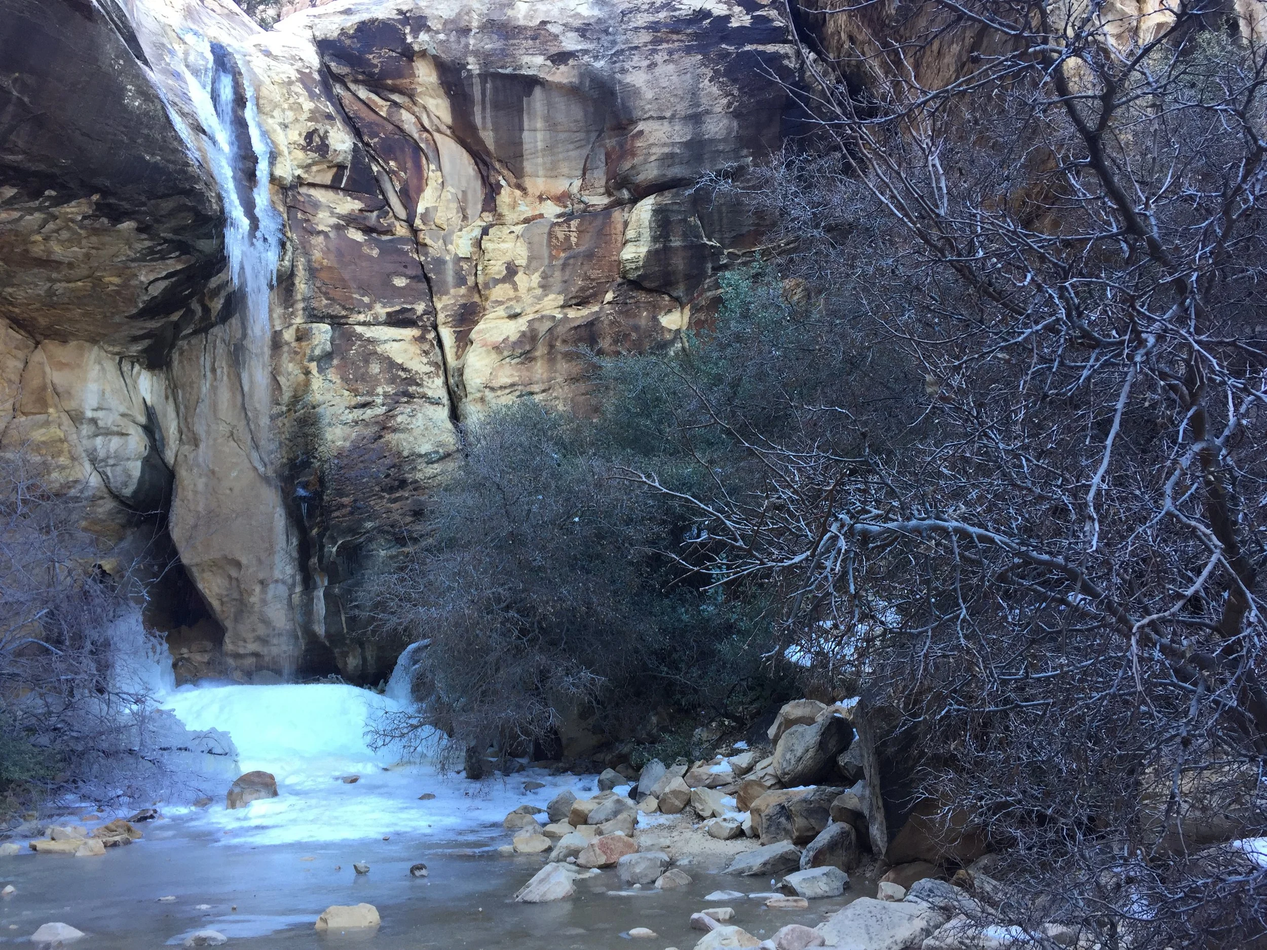
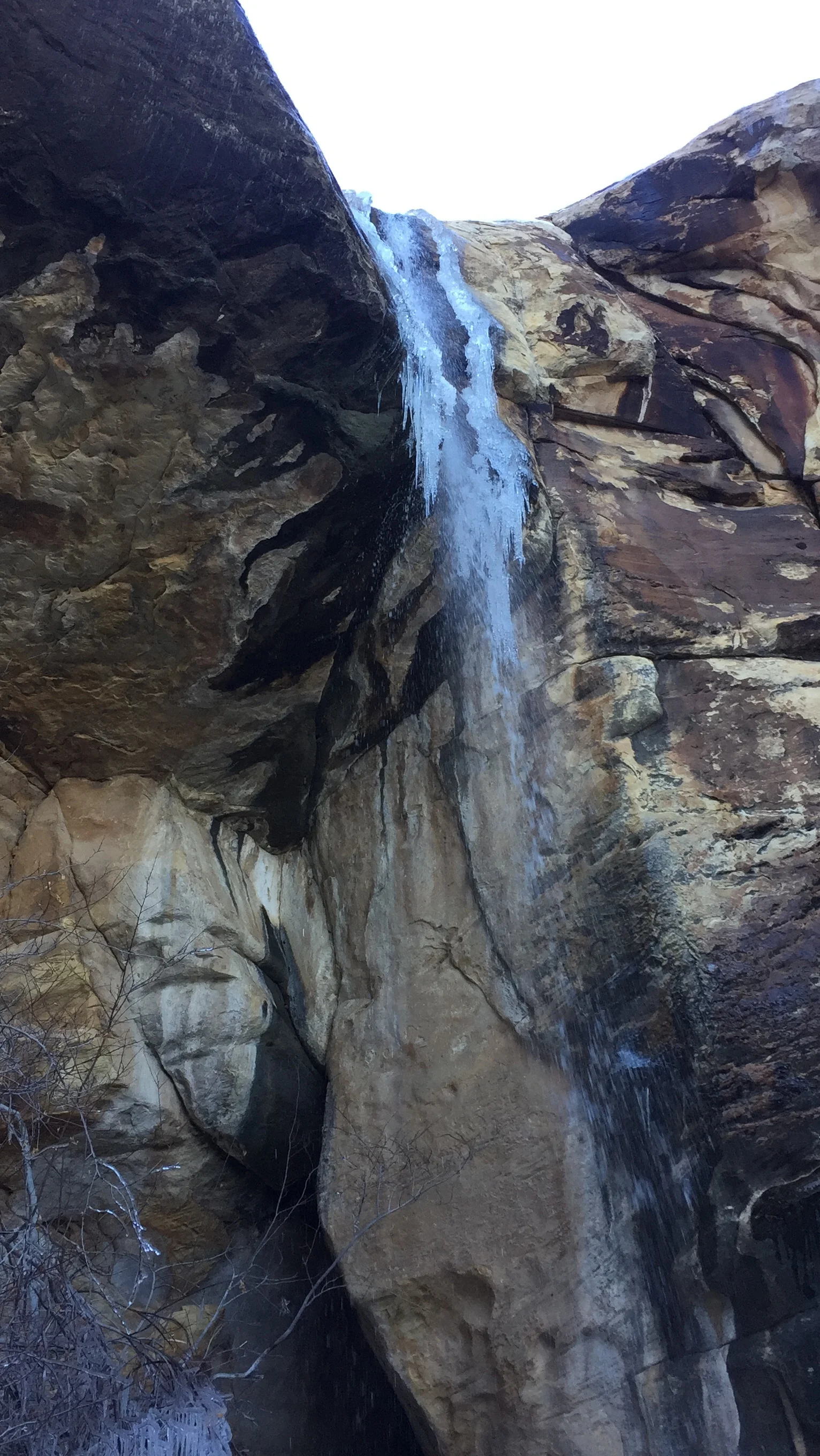
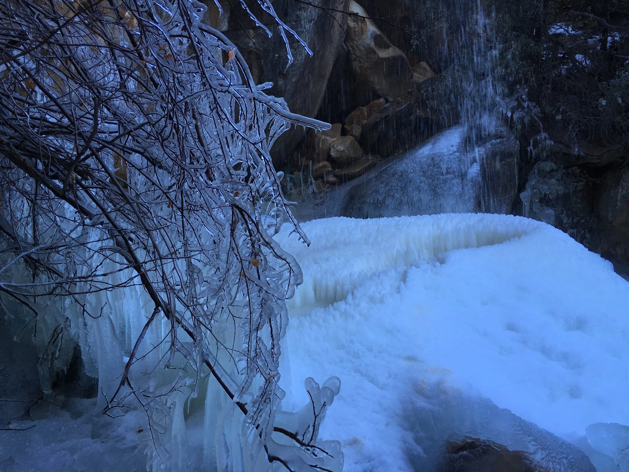
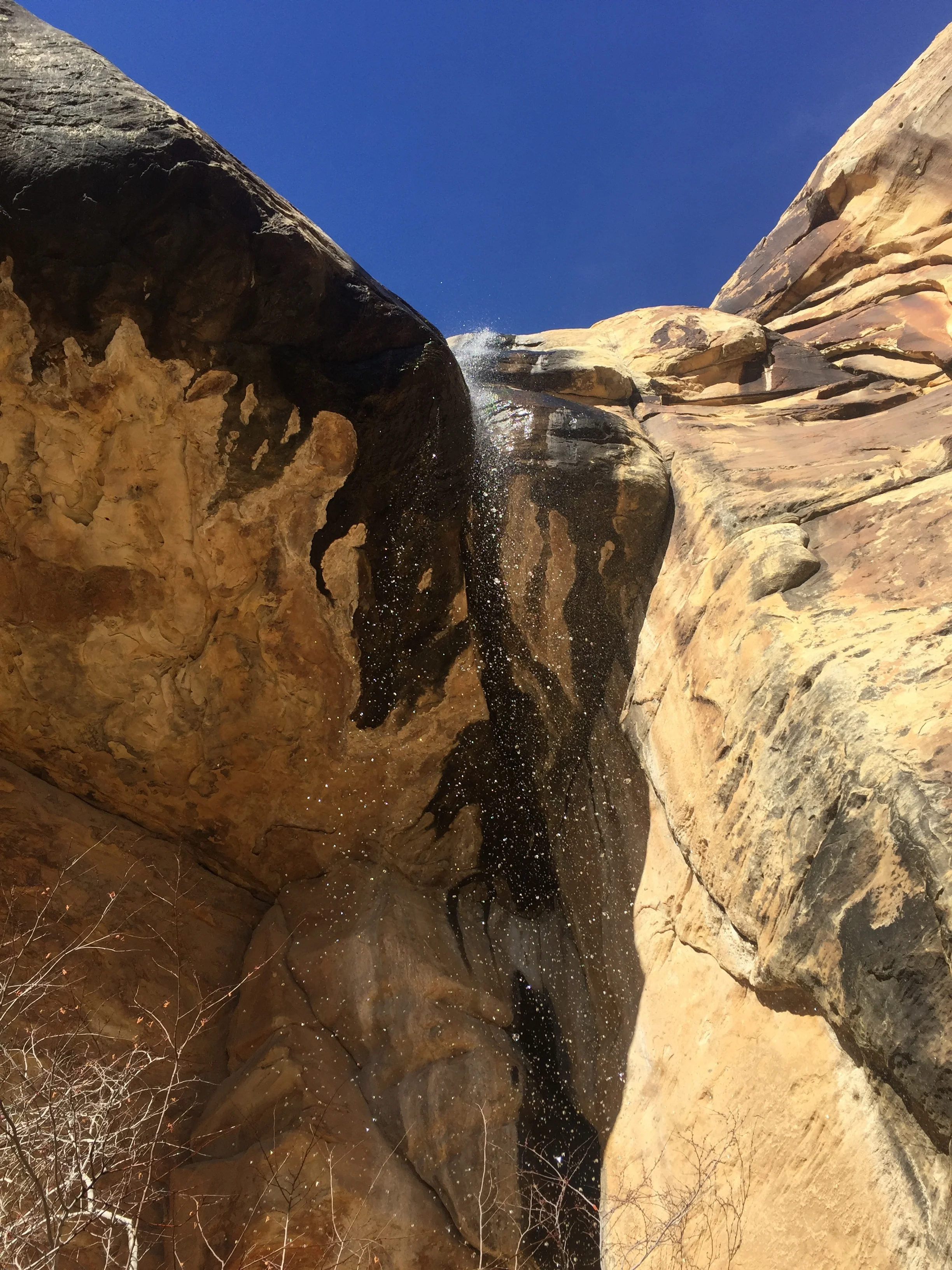
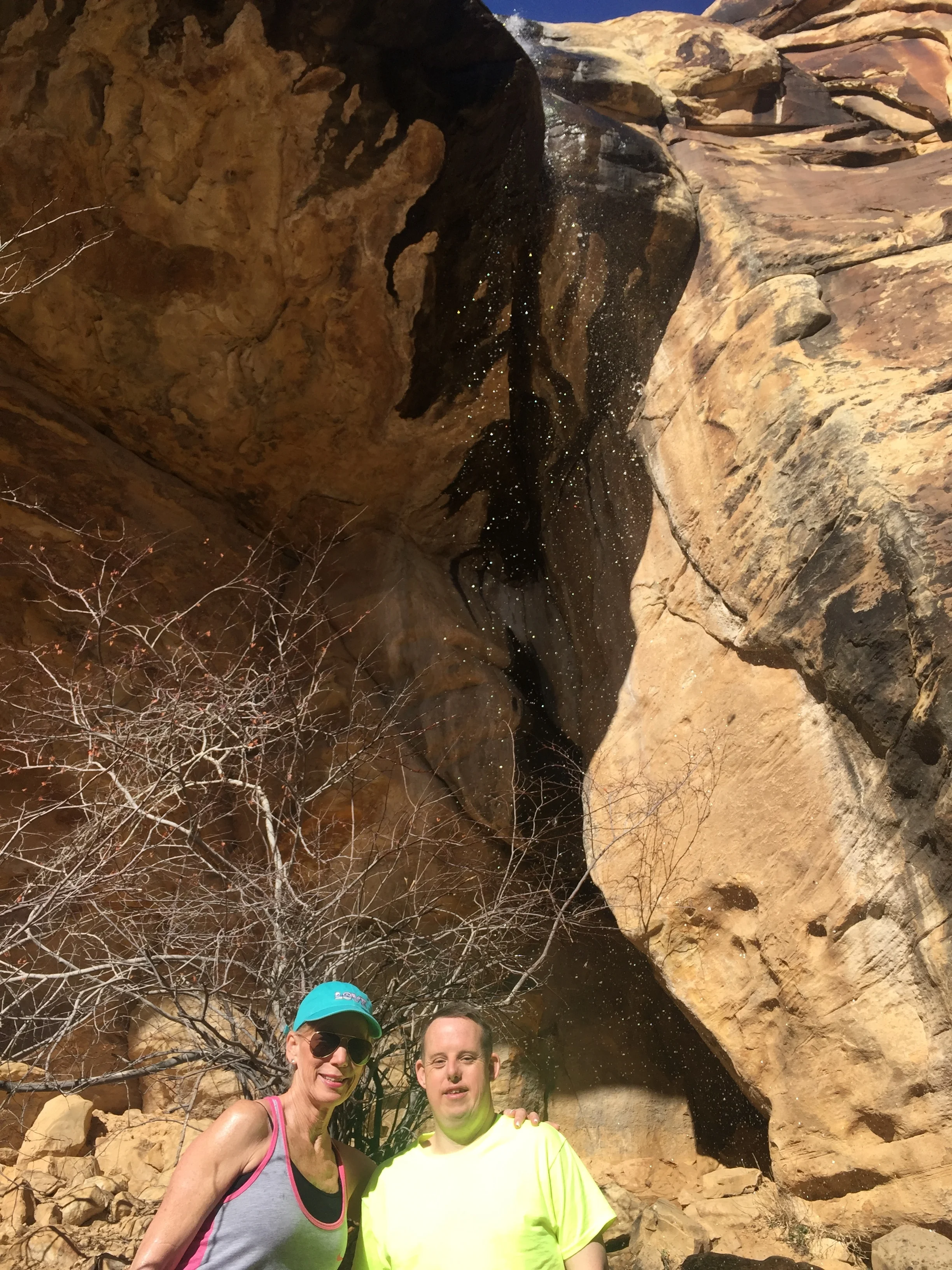
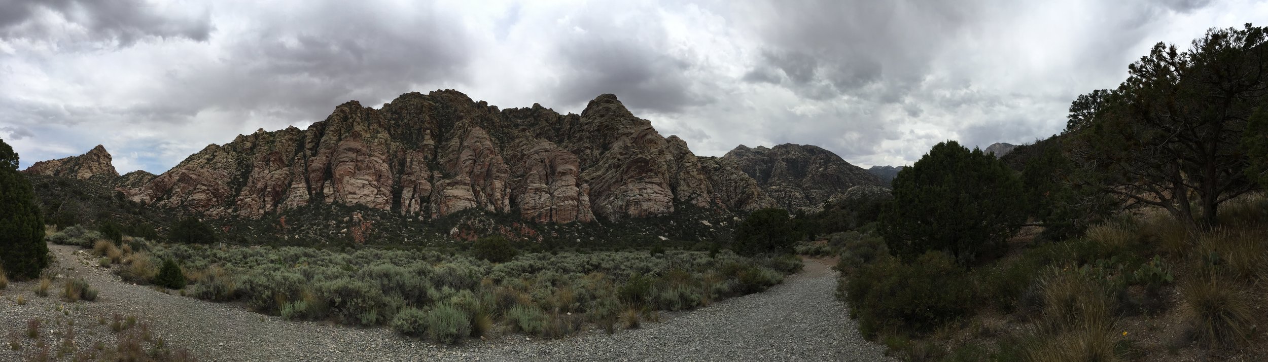
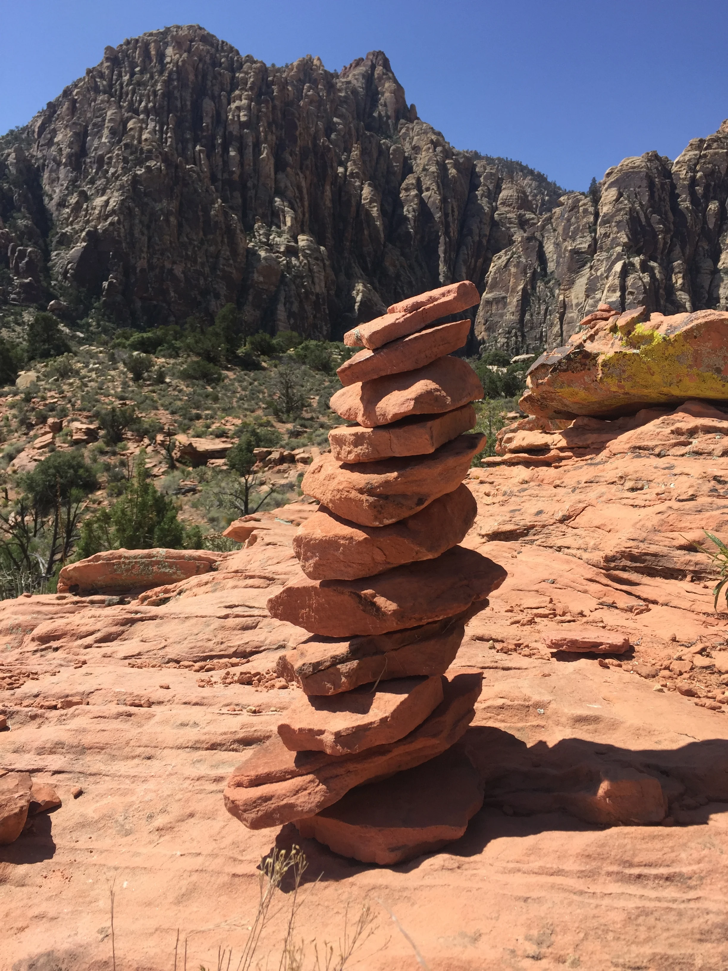
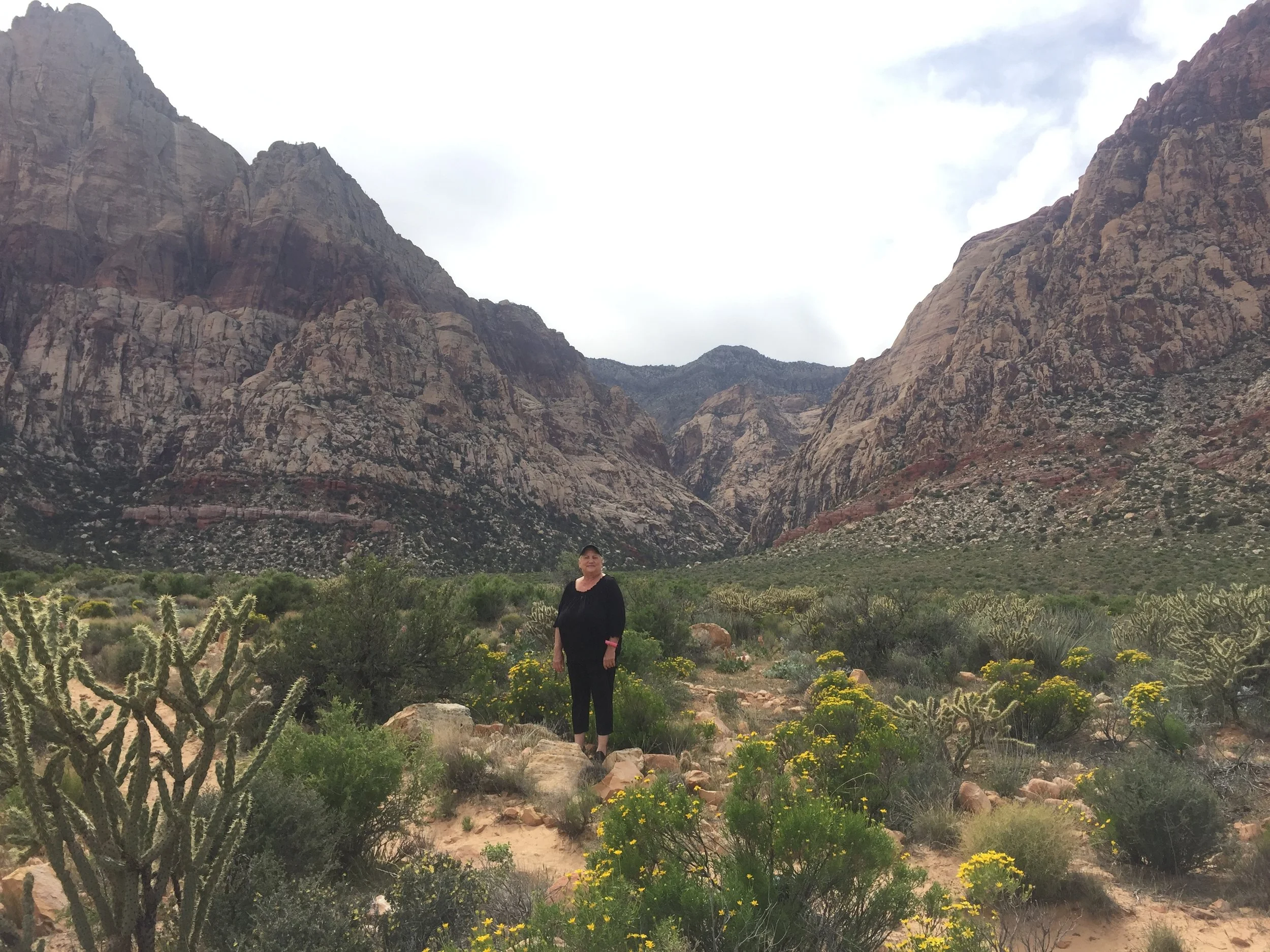
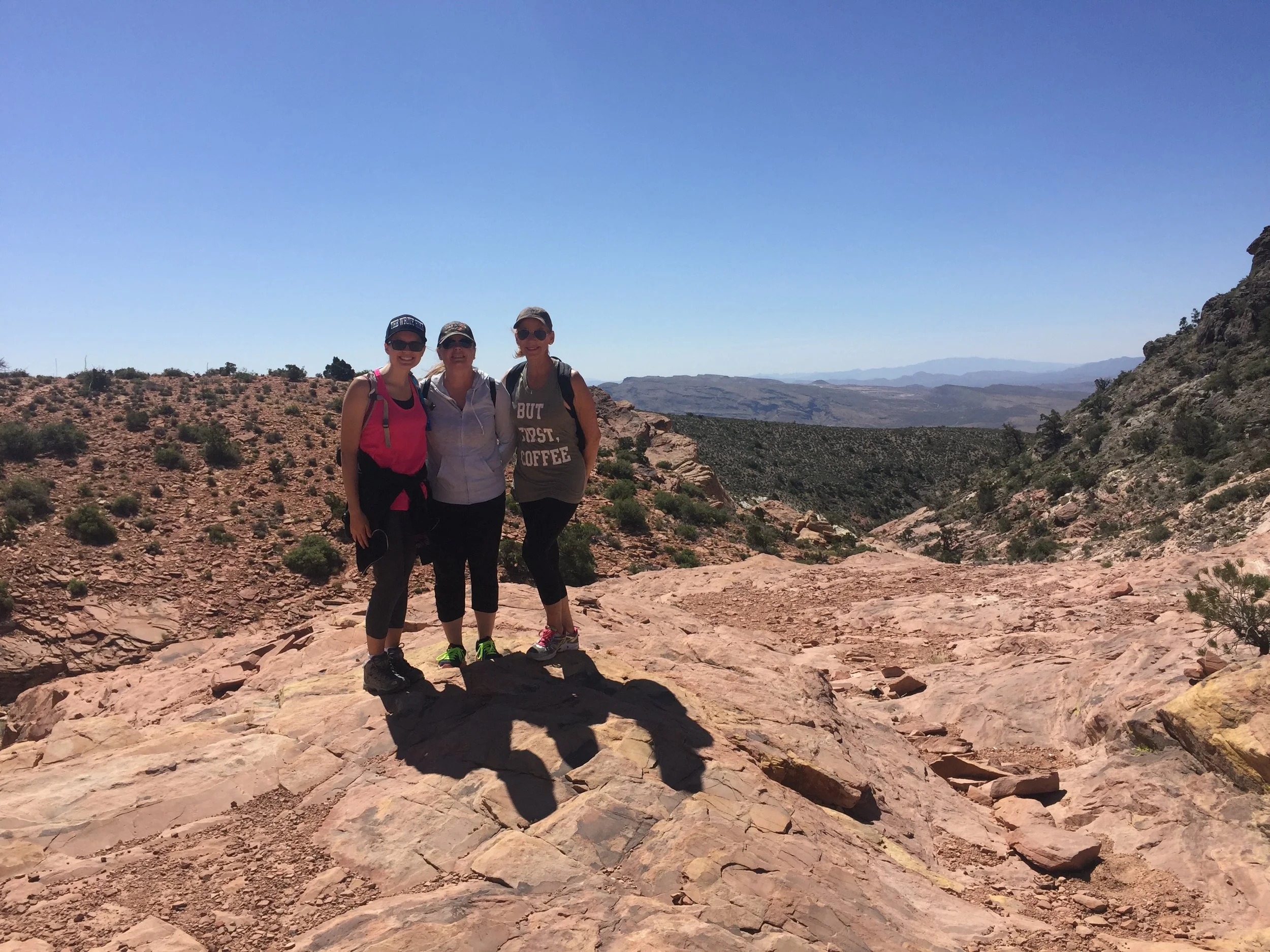
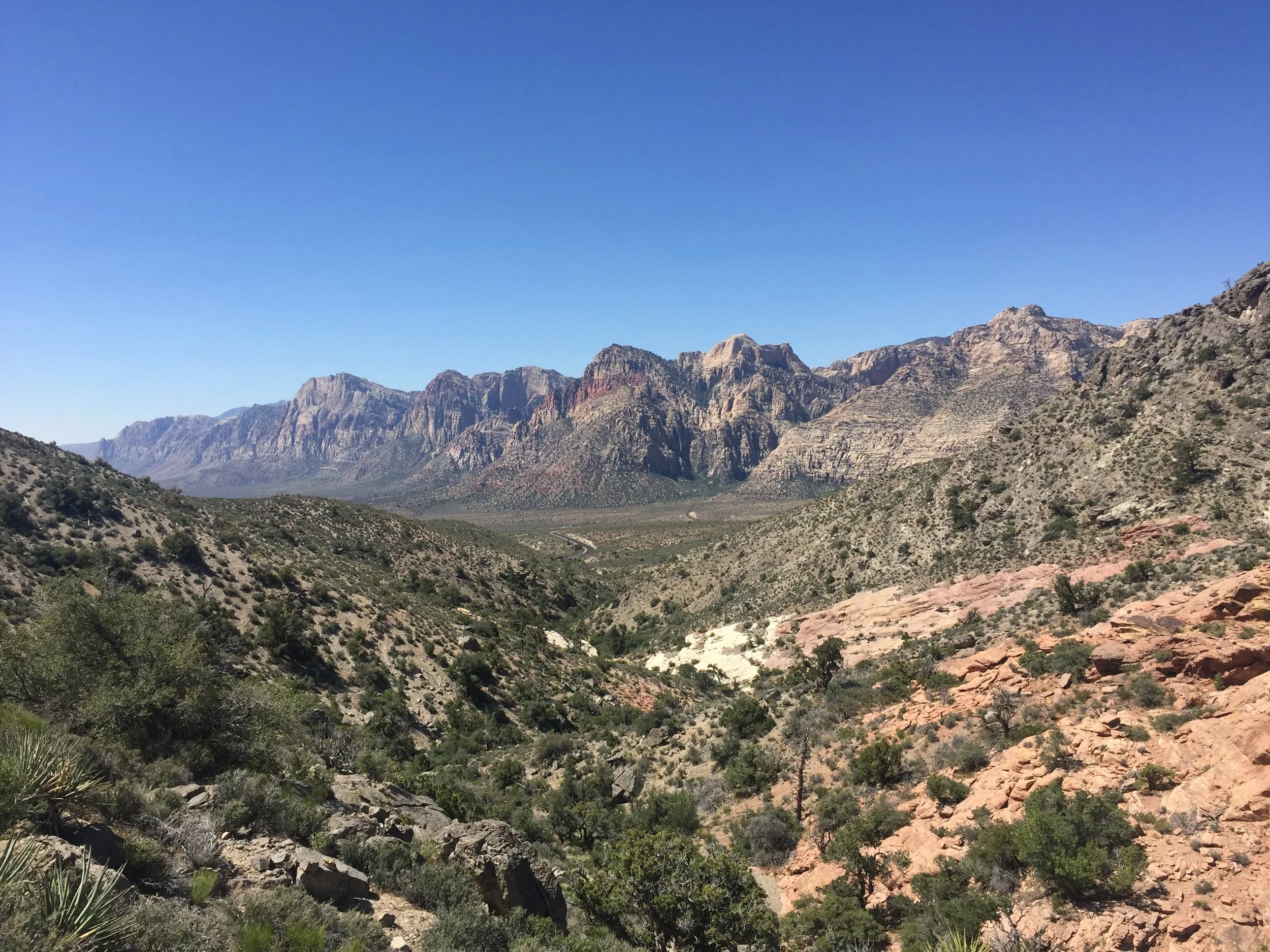
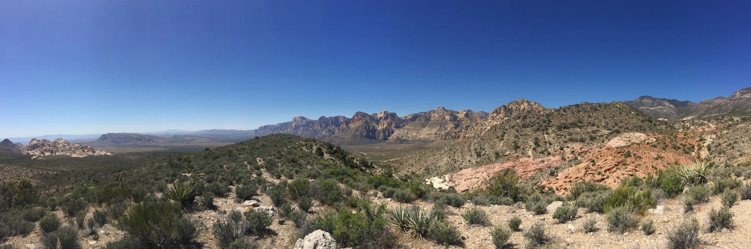
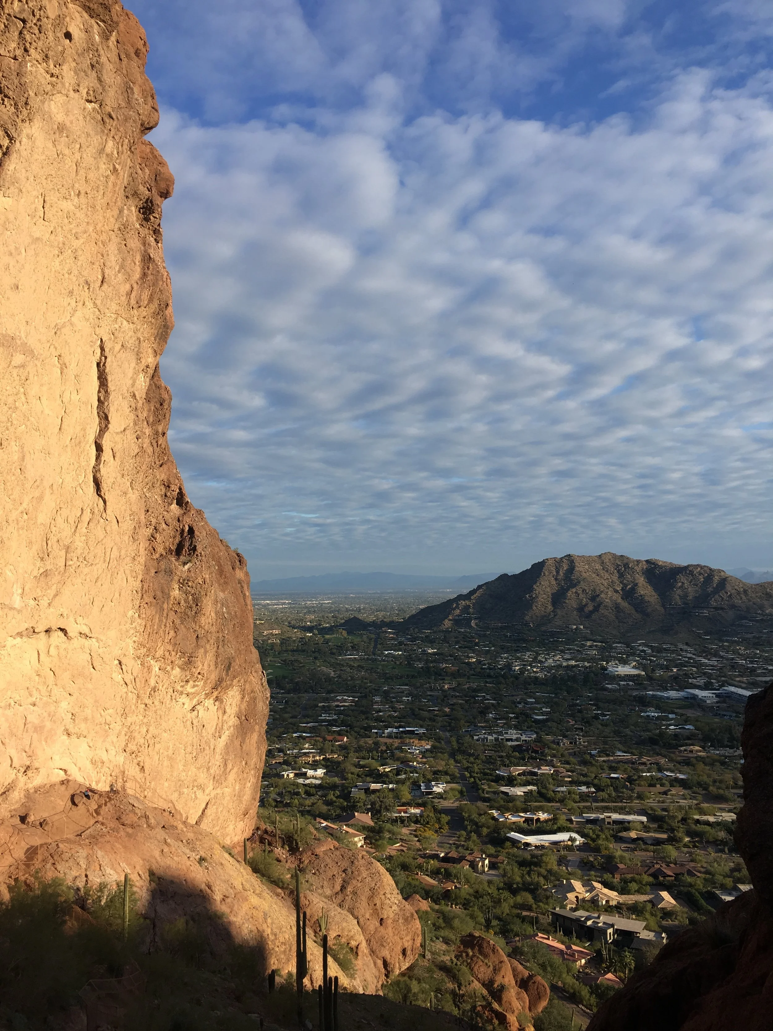
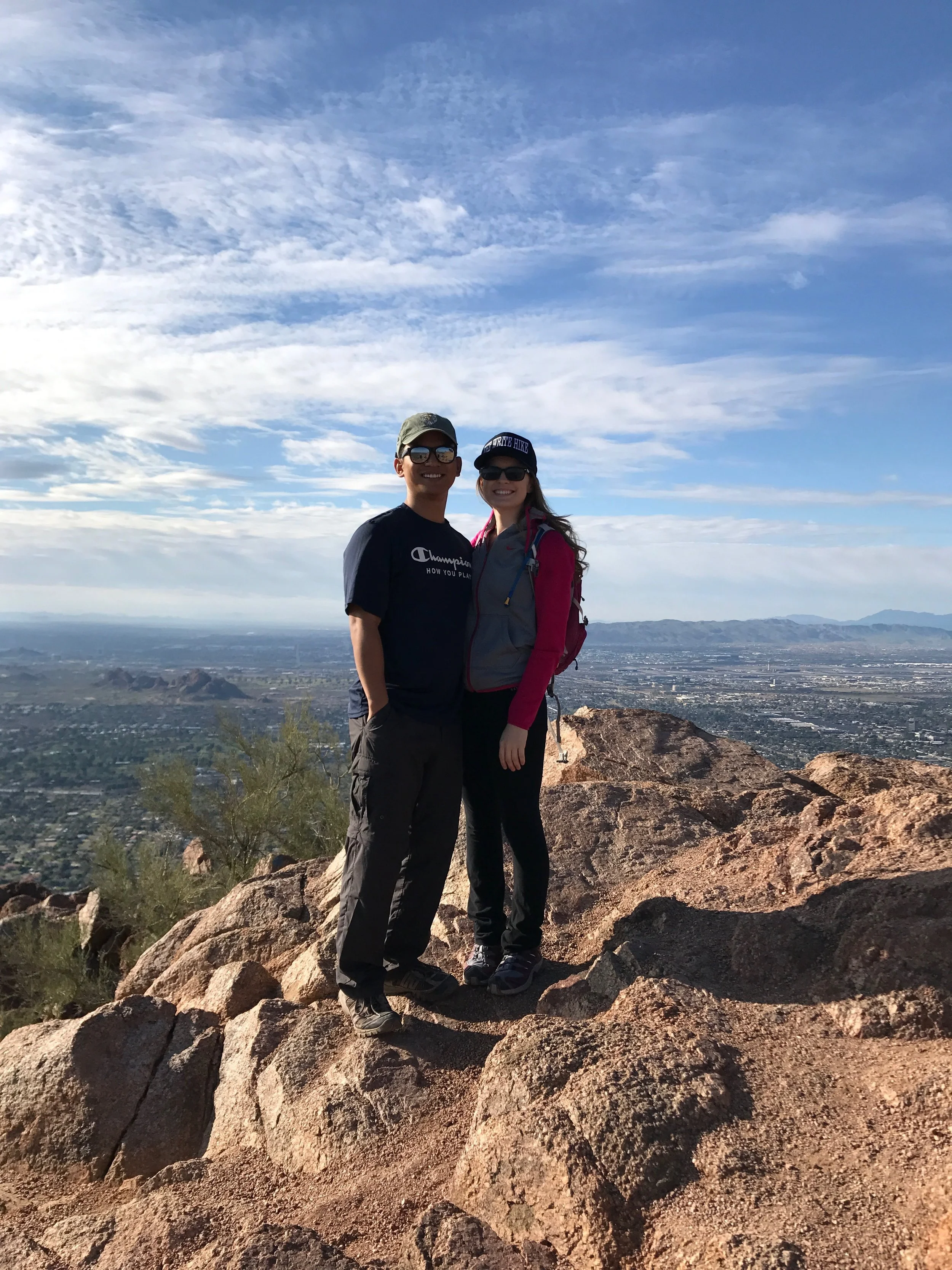
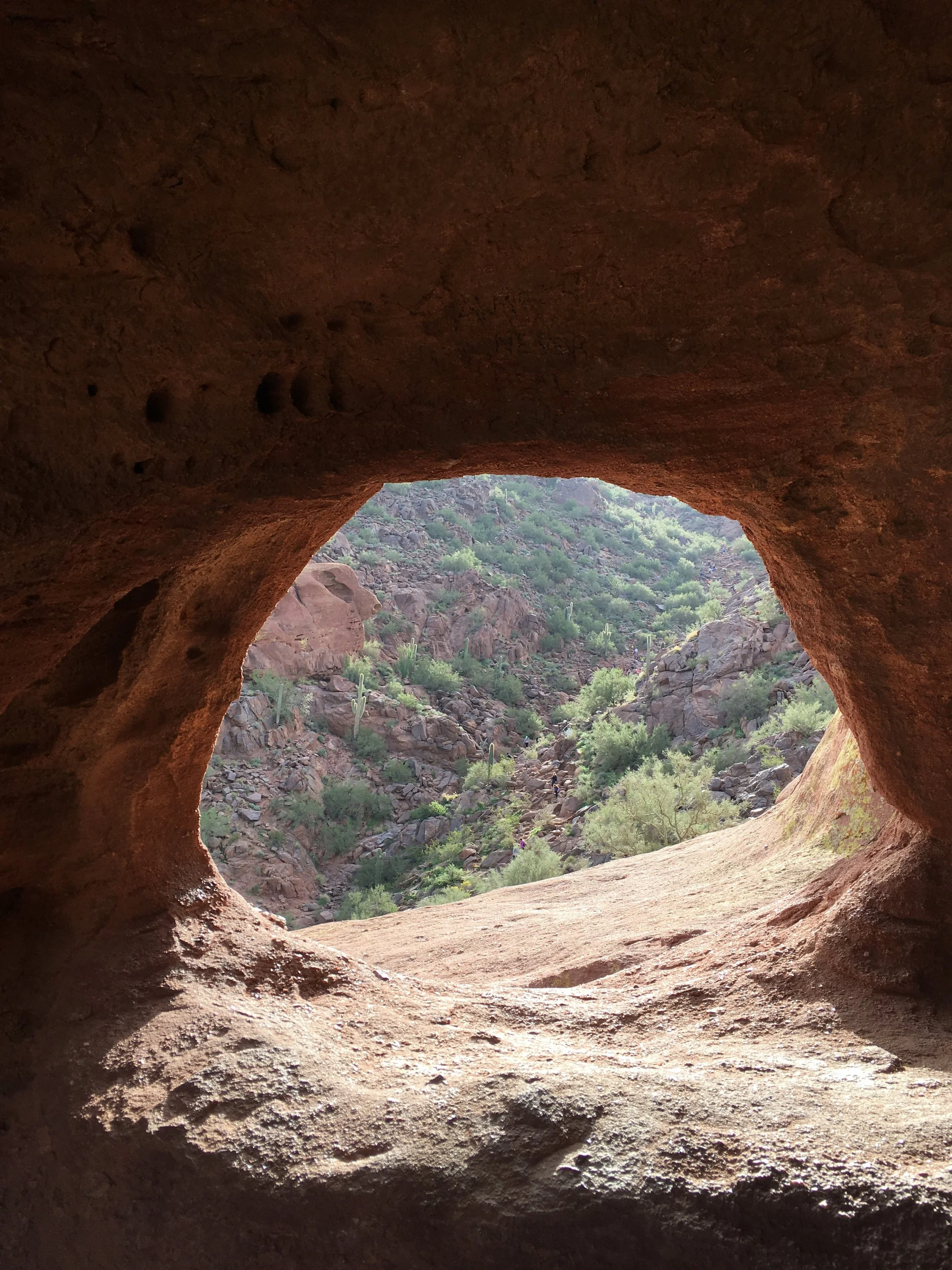
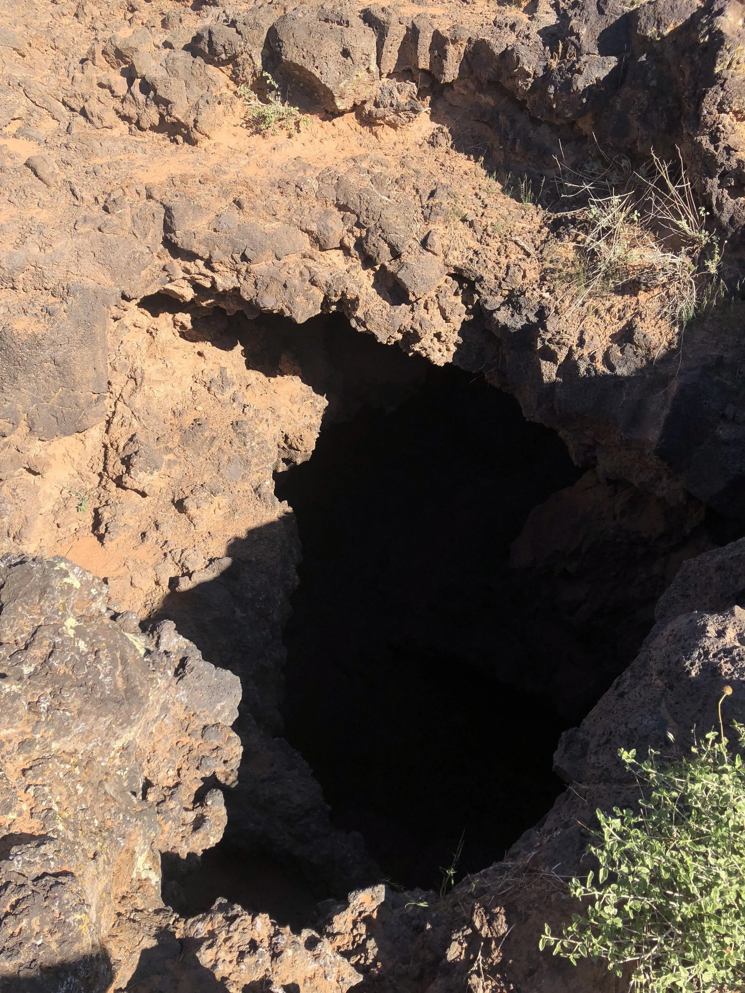
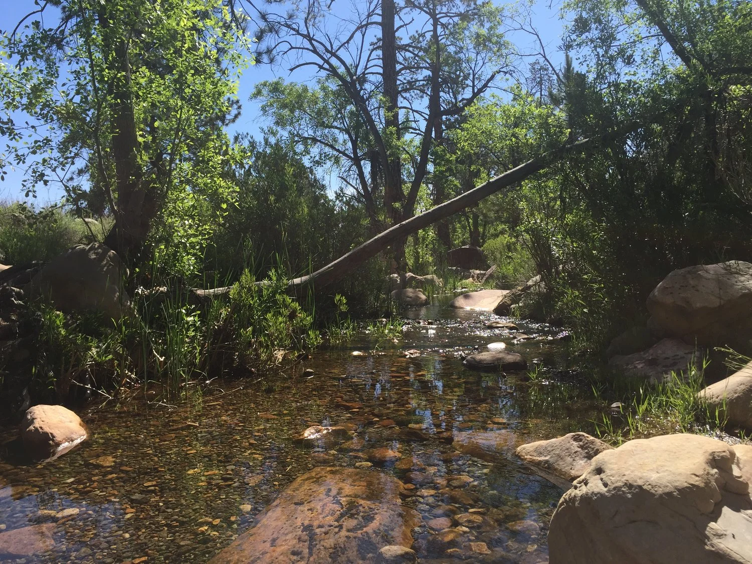
Sightings: Throughout the hike, you'll see hot springs and small waterfalls. You can go in the hot springs, but a warning is posted to NOT put your head in the hot springs water. At the end of the hike, you reach the Colorado River. The view is incredible.